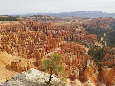
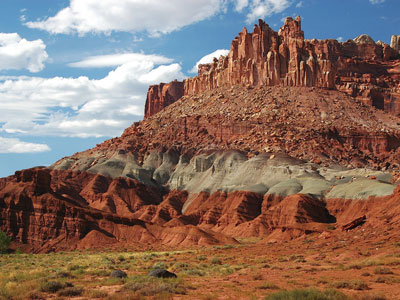
Bryce Canyon National Park

State known for its five national parks, 8 national monuments, numerous state parks and monuments, ski resorts, and its capitol city, Salt Lake City.

HANKSVILLEGRAND STAIRCASEESCALANTE NMST GEORGESPRINGDALEKANABCEDAR CITYPAGEMEXICAN HATBLUFFMOABPRICEVERNALPROVOSANDYOGDENEVANSTONLOGANROCK SPRINGSWESTWENDOVERSALT LAKE CITY1580807070848480801515CORAL PINKSAND DUNES SPMOKI DUGWAYZIONNATIONALPARKBRYCE CANYONNATIONAL PARKCAPITOL REEFNATIONAL PARKARCHESNATIONAL PARKCANYONLANDSNATIONAL PARKLITTLE WILDHORSE CANYONGOBLINVALLEY SPGOOSENECKSSPVALLEY OFTHE GODSPARIABUCKSKIN GULCHMONUMENTVALLEYWIRE PASS
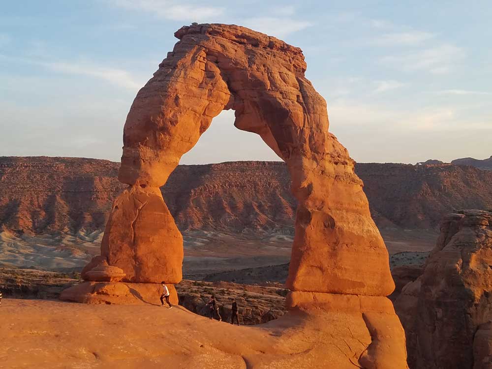
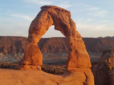
Delicate Arch at Arches National Park in Utah

Delicate Arch, Arches National Park
National Parks

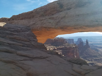
Arches · Bryce Canyon · Canyonlands · Capitol Reef · Zion
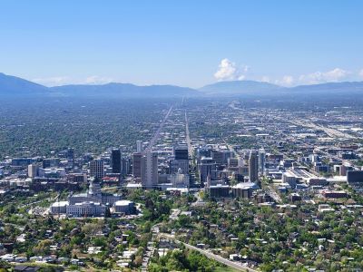
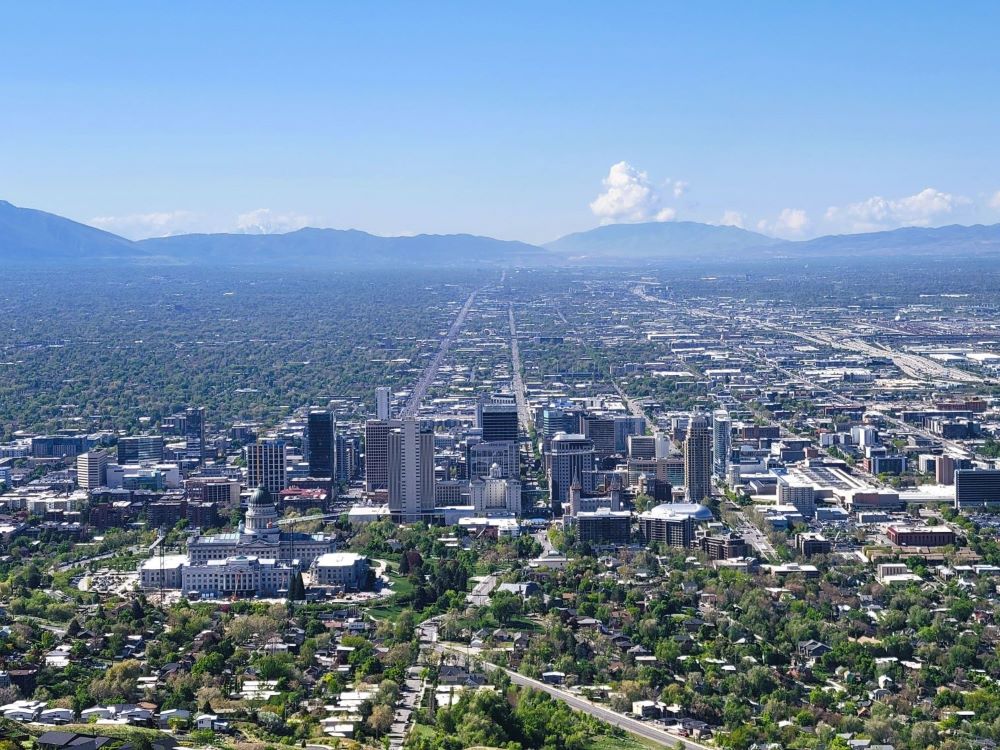
Skyline of Salt lake City, Utah

Salt Lake City, UT
Garrett from Salt Lake City, CC BY 2.0, via Wikimedia Commons; Image Size Adjusted

Bonneville Salt Flats, Wendover, Utah

Bonneville Salt Flat
Fabio Achilli from Milano, Italy, CC BY 2.0, via Wikimedia Commons; Image Size Adjusted

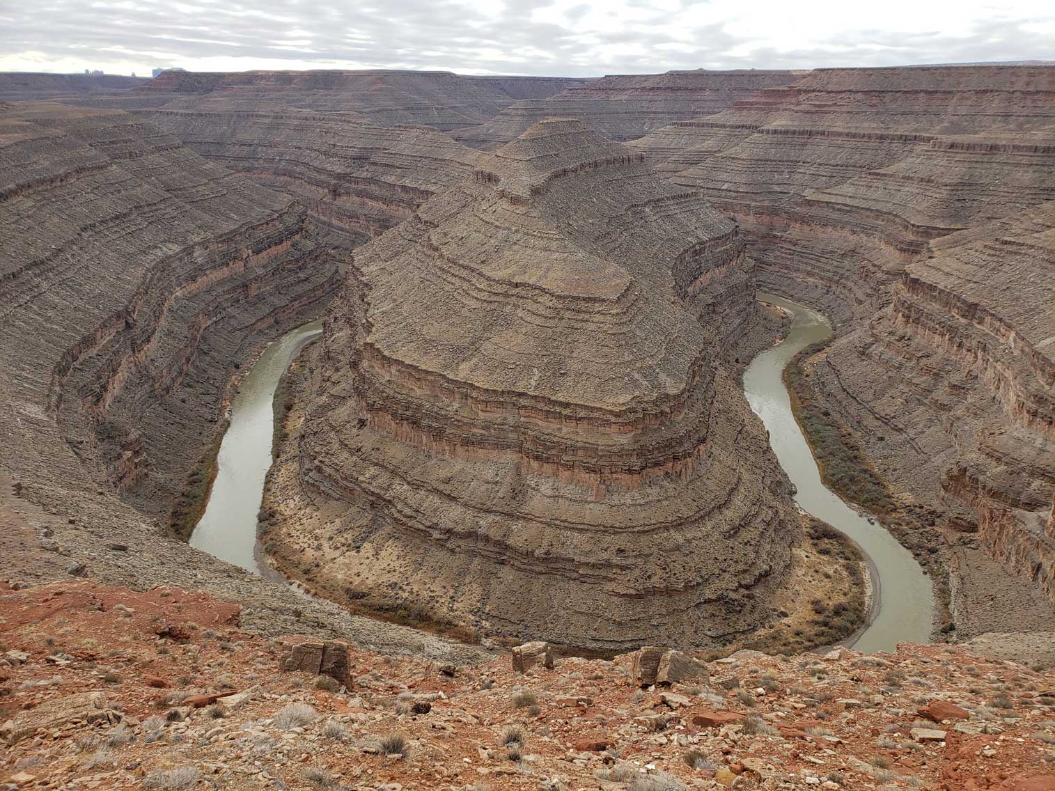
Goosenecks State Park

Goosenecks State Park

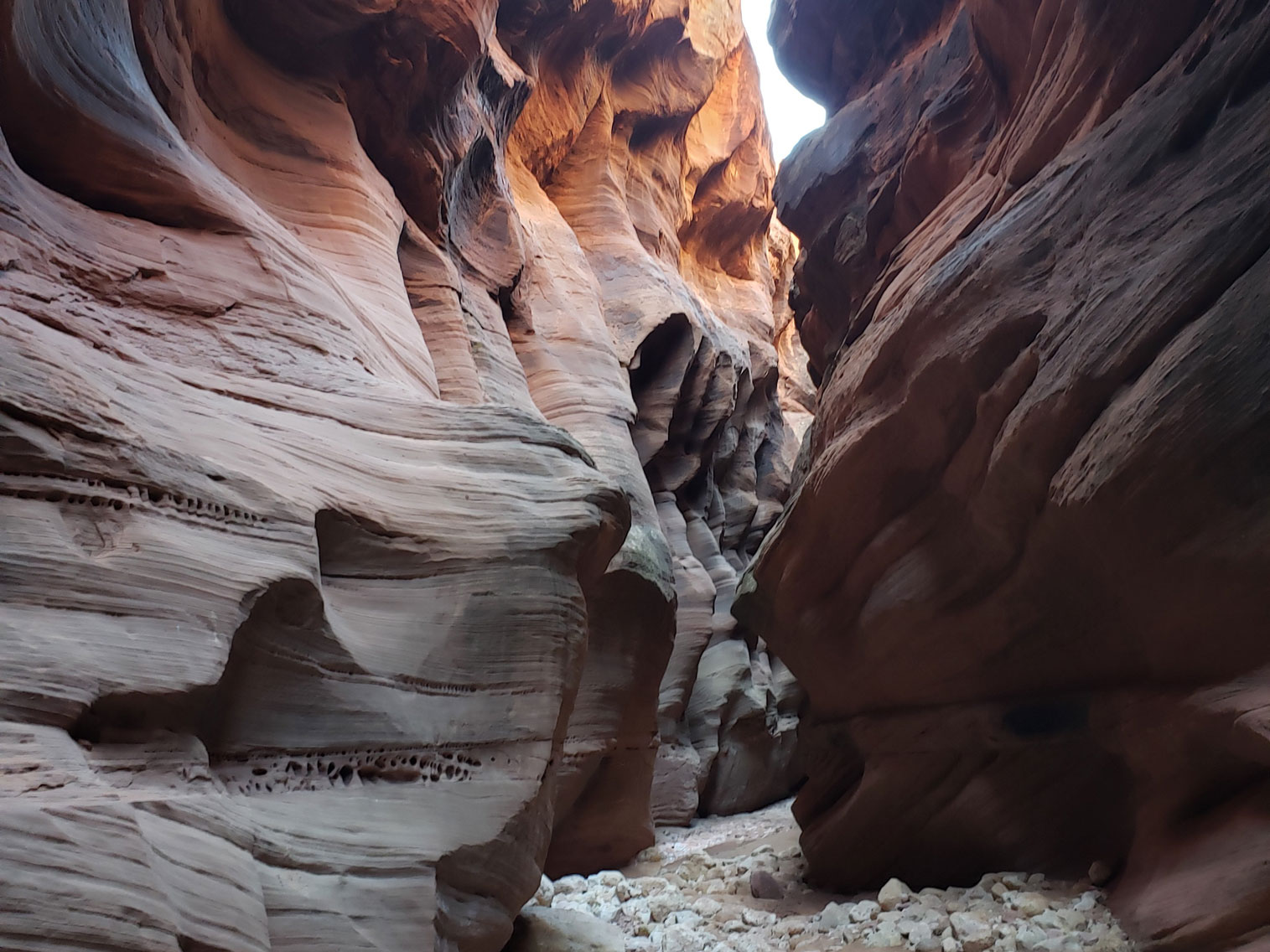
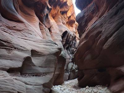
Buckskin Gulch Slot Canyon

Buckskin Gulch

Slot Canyons

Utah Slot Canyons · Buckskin Gulch · Kanarra Falls · Little Wild Horse · Paria River · Wire Pass

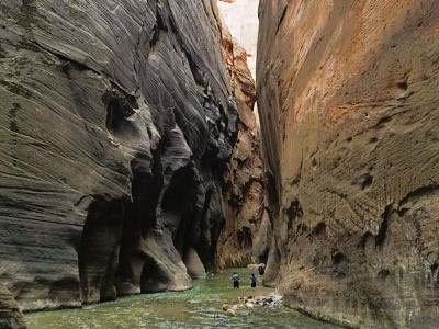
A slot canyon is a narrow canyon that is formed from water rushing through rock. What starts off as a tiny crack steadily grows larger from repeat flash floods and erosion over millions of years. The end result is a narrow canyon with very high walls.

With five national parks (Arches, Bryce Canyon, Canyonlands, Capitol Reef, and Zion), Utah has the third most national parks of any state after Alaska and California. In addition, Utah features eight national monuments (Cedar Breaks, Dinosaur, Grand Staircase-Escalante, Hovenweep, Natural Bridges, Bears Ears, Rainbow Bridge, and Timpanogos Cave), two national recreation areas (Flaming Gorge and Glen Canyon), seven national forests (Ashley, Caribou-Targhee, Dixie, Fishlake, Manti-La Sal, Sawtooth, and Uinta-Wasatch-Cache), and numerous state parks and monuments.

The Moab area, in the southeastern part of the state, is known for its challenging mountain biking trails, including Slickrock. Moab also hosts the famous Moab Jeep Safari semiannually.

Utah has seen an increase in tourism since the 2002 Winter Olympics. Park City is home to the United States Ski Team. Utah's ski resorts are primarily located in northern Utah near Salt Lake City, Park City, Ogden, and Provo. Between 2007 and 2011 Deer Valley in Park City, has been ranked the top ski resort in North America in a survey organized by Ski Magazine.

Utah has many significant ski resorts. The 2009 Ski Magazine reader survey concluded that six of the top ten resorts deemed most "accessible", and six of the top ten with the best snow conditions, were located in Utah. In Southern Utah, Brian Head Ski Resort is located in the mountains near Cedar City. Former Olympic venues including Utah Olympic Park and Utah Olympic Oval are still in operation for training and competition and allows the public to participate in numerous activities including ski jumping, bobsleigh, and speed skating.

Utah features many cultural attractions such as Temple Square, the Sundance Film Festival, the Red Rock Film Festival, the DOCUTAH Film Festival, the Utah Data Center, and the Utah Shakespearean Festival. Temple Square is ranked as the 16th most visited tourist attraction in the United States by Forbes magazine, with more than five million annual visitors.

Other attractions include Monument Valley, the Great Salt Lake, the Bonneville Salt Flats, and Lake Powell.

Urban development in Utah is mostly concentrated in two areas: the Wasatch Front in the north-central part of the state, which is home to roughly two-thirds of the population and includes the capital city, Salt Lake City; and Washington County in the south. Most of the western half of Utah lies in the Great Basin.

Utah has been inhabited for thousands of years by various indigenous groups such as the ancient Puebloans, Navajo and Ute. The Spanish were the first Europeans to arrive in the mid-16th century, though the region's difficult geography and harsh climate made it a peripheral part of New Spain and later Mexico. Even while it was Mexican territory, many of Utah's earliest settlers were American, particularly Mormons fleeing marginalization and persecution. Following the Mexican-American War in 1848, the region was annexed by the U.S., becoming part of the Utah Territory, which included what is now Colorado and Nevada. Disputes between the dominant Mormon community and the federal government delayed Utah's admission as a state and it admitted in 1896 as the 45th.

Slightly over half of all Utahns are Mormons, the vast majority of whom are members of The Church of Jesus Christ of Latter-day Saints (LDS Church), which has its world headquarters in Salt Lake City; Utah is the only state where a majority of the population belongs to a single church. The LDS Church greatly influences Utahn culture, politics, and daily life, though since the 1990s the state has become more religiously diverse as well as secular.

The name Utah is said to derive from the name of the Ute tribe, meaning 'people of the mountains'. However, no such word actually exists in the Utes' language, and the Utes refer to themselves as Noochee. The meaning of Utes as 'the mountain people' has been attributed to the neighboring Pueblo Indians, as well as to the Apache word Yuttahih, which means 'one that is higher up' or 'those that are higher up'. In Spanish it was pronounced Yuta; subsequently English-speaking people may have adapted the word as Utah.

Utah is known for its natural diversity and is home to features ranging from arid deserts with sand dunes to thriving pine forests in mountain valleys. It is a rugged and geographically diverse state at the convergence of three distinct geological regions: the Rocky Mountains, the Great Basin, and the Colorado Plateau.

One of Utah's defining characteristics is the variety of its terrain. Running down the middle of the state's northern third is the Wasatch Range, which rises to heights of almost 12,000 ft (3,700 m) above sea level. Utah is home to world-renowned ski resorts made popular by light, fluffy snow and winter storms that regularly dump up to three feet of it overnight. In the state's northeastern section, running east to west, are the Uinta Mountains, which rise to heights of over 13,000 feet (4,000 m). The highest point in the state, Kings Peak, at 13,528 feet (4,123 m), lies within the Uinta Mountains.

At the western base of the Wasatch Range is the Wasatch Front, a series of valleys and basins that are home to the most populous parts of the state. It stretches approximately from Brigham City at the north end to Nephi at the south end. Approximately 75 percent of the state's population lives in this corridor, and population growth is rapid.

Western Utah is mostly arid desert with a basin and range topography. Small mountain ranges and rugged terrain punctuate the landscape. The Bonneville Salt Flats are an exception, being comparatively flat as a result of once forming the bed of ancient Lake Bonneville. Great Salt Lake, Utah Lake, Sevier Lake, and Rush Lake are all remnants of this ancient freshwater lake, which once covered most of the eastern Great Basin. West of the Great Salt Lake, stretching to the Nevada border, lies the arid Great Salt Lake Desert. One exception to this aridity is Snake Valley, which is (relatively) lush due to large springs and wetlands fed from groundwater derived from snow melt in the Snake Range, Deep Creek Range, and other tall mountains to the west of Snake Valley. Great Basin National Park is just over the Nevada state line in the southern Snake Range. One of western Utah's most impressive, but least visited attractions is Notch Peak, the tallest limestone cliff in North America, located west of Delta.

Much of the scenic southern and southeastern landscape (specifically the Colorado Plateau region) is sandstone, specifically Kayenta sandstone and Navajo sandstone. The Colorado River and its tributaries wind their way through the sandstone, creating some of the world's most striking and wild terrain (the area around the confluence of the Colorado and Green Rivers was the last to be mapped in the lower 48 United States). Wind and rain have also sculpted the soft sandstone over millions of years. Canyons, gullies, arches, pinnacles, buttes, bluffs, and mesas are the common sight throughout south-central and southeast Utah.

This terrain is the central feature of protected state and federal parks such as Arches, Bryce Canyon, Canyonlands, Capitol Reef, and Zion national parks, Cedar Breaks, Grand Staircase-Escalante, Hovenweep, and Natural Bridges national monuments, Glen Canyon National Recreation Area (site of the popular tourist destination, Lake Powell), Dead Horse Point and Goblin Valley state parks, and Monument Valley. The Navajo Nation also extends into southeastern Utah. Southeastern Utah is also punctuated by the remote, but lofty La Sal, Abajo, and Henry mountain ranges.

Eastern (northern quarter) Utah is a high-elevation area covered mostly by plateaus and basins, particularly the Tavaputs Plateau and San Rafael Swell, which remain mostly inaccessible, and the Uinta Basin, where the majority of eastern Utah's population lives. Economies are dominated by mining, oil shale, oil, and natural gas-drilling, ranching, and recreation. Much of eastern Utah is part of the Uintah and Ouray Indian Reservation. The most popular destination within northeastern Utah is Dinosaur National Monument near Vernal.

Southwestern Utah is the lowest and hottest spot in Utah. It is known as Utah's Dixie because early settlers were able to grow some cotton there. Beaverdam Wash in far southwestern Utah is the lowest point in the state, at 2,000 feet (610 m). The northernmost portion of the Mojave Desert is also located in this area. Dixie is quickly becoming a popular recreational and retirement destination, and the population is growing rapidly. Although the Wasatch Mountains end at Mount Nebo near Nephi, a complex series of mountain ranges extends south from the southern end of the range down the spine of Utah. Just north of Dixie and east of Cedar City is the state's highest ski resort, Brian Head.

Like most of the western and southwestern states, the federal government owns much of the land in Utah. Over 70 percent of the land is either BLM land, Utah State Trustland, or U.S. National Forest, U.S. National Park, U.S. National Monument, National Recreation Area or U.S. Wilderness Area. Utah is the only state where every county contains some national forest.

This article uses material from the Wikipedia article "Utah", which is released under the Creative Commons Attribution-Share-Alike License 3.0