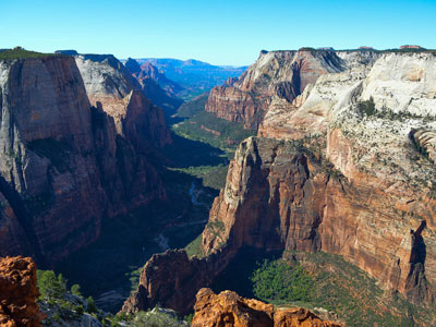
City and region well known for its year-round outdoor recreation and proximity to several state parks, Zion National Park and The Grand Canyon
From Las Vegas (119 miles): Get on I-515 N/US-95 N from N 4th St. Follow I-15 N to UT-18 N/Bluff St in St. George. Take exit 6 from I-15 N. Take S Main St to S 700 E.
St. George is a city in Utah, located in the southwestern corner of the state on the Arizona border. The city lies in the northeasternmost part of the Mojave Desert, adjacent to the Pine Valley Mountains and near the convergence of three distinct geological areas: the Mojave Desert, Colorado Plateau, and Great Basin. The city is 118 miles (190 km) northeast of Las Vegas and 300 miles (480 km) south-southwest of Salt Lake City on Interstate 15.
The city was settled in 1861 as a cotton mission, earning it the nickname "Dixie". While the crop never became a successful commodity, the area steadily grew in population. Between 2000 and 2005, St. George emerged as the fastest growing metropolitan area in the United States. Today, the St. George region is well known for its year-round outdoor recreation and proximity to several state parks, Zion National Park and The Grand Canyon.
-1000.jpg)
Prior to the arrival of the first European settlers, the St. George area was inhabited by the Virgin River Anasazi and later by the Southern Paiute tribe. The first Europeans in the area were part of the Domínguez-Escalante expedition in 1776.
St. George was founded as a cotton mission in 1861 under the direction of Apostle Erastus Snow. It was called Dixie by Brigham Young, who was president of The Church of Jesus Christ of Latter-day Saints (LDS Church). While early settlers cultivated cotton as a commodity crop, they did not succeed in producing it at competitive market rates; consequently, cotton farming was eventually abandoned. More important to the economy was tourism, which developed as the railroads began to carry visitors to the nearby Zion National Park.
At the outbreak of the American Civil War in 1861, Young organized the settlement of what is now Washington County.
Fearing that the war would take away the cotton supply, he began plans for raising enough in this southwestern country to supply the needs of his people. Enough favorable reports had come to him from this warm region below the rim of the Great Basin, that he was convinced cotton could be raised successfully here. At the general church conference in Salt Lake City on October 6th, 1861, about three hundred families were "called" to the Dixie mission to promote the cotton industry. Most of the people knew nothing of this expedition until their names were read from the pulpit; but in nearly every case, they responded with good will, and made ready to leave within the month's time allotted to them. The families were selected so as to ensure the communities the right number of farmers, masons, blacksmiths, businessmen, educators, carpenters, as needed.
The settlement was named after George A. Smith, an LDS Church apostle.
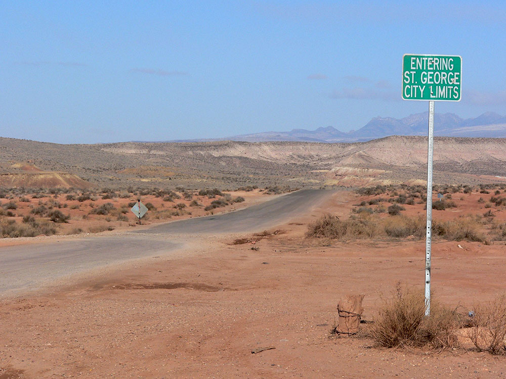
St. George lies in a desert valley, with most of the city lying below 3,000 feet (900 m). Wildlife and vegetation are typical of the Mojave Desert in which it lies. It is situated near a unique geological transition zone where the Mojave, Colorado Plateau, and Great Basin all converge. The Beaver Dam Mountains, commonly referred to as Utah Hill, lie to the west, the Red Cliffs National Conservation Area and Pine Valley Mountains to the north, the western edge of the Colorado Plateau and Zion National Park to the east, and the Arizona Strip to the south. The Virgin River and Santa Clara River flow through the St. George valley and converge near the western base of Webb Hill.
The following formations, listed in chronological order, are within the city limits. Kaibab Limestone (Permian): Gray fossiliferous limestone, exposed at the center of the Virgin River anticline along Horseman Park Drive and in the low hills to the south of South Bloomington Hills.
Moenkopi Formation (Triassic): Chocolatey-red and white banded mudstone, shale, limestone, and siltstone containing thick layers of gypsum, exposed at Bloomington, South Bloomington Hills, and the south side of Webb Hill.
Eubrontes, a dinosaur footprint in the Lower Jurassic Moenave Formation at the St. George Dinosaur Discovery Site at Johnson Farm, southwestern Utah.
Shinarump Conglomerate (Triassic): Yellow to brown cliff-forming sandstone and conglomerate containing fossilized oyster shells and petrified wood. Forms the cliff faces north of Bloomington, on Webb Hill, and along the Virgin River south of 1450 South Street. This is actually the lowest member of the Chinle formation.
Chinle Formation (Triassic): Purple, white, gray and locally green bentonitic shale weathering to clay. Because of the softness of the strata, structures built on this formation run a higher risk of settling or slippage. The Chinle formation underlies large portions of St. George, including North Bloomington Hills, much of Green Valley, and much of the east side of the city around Riverside Drive and Pine View High School.
Moenave Formation (Jurassic): Red and orange sandstone, siltstone, and mudstone. There is some confusion about distinguishing between the Springdale sandstone member of the Moenave formation and the overlying Navajo sandstone, which is similar in appearance, in the St. George area. It is now generally assumed the red cliffs north of downtown (north of Red Hills Parkway) and at the Dixie Red Hills golf course are part of the Moenave formation. Other exposures include cuts into the east and west Black Hills and the southern part of the Dixie Downs neighborhood.
Kayenta Formation (Jurassic): Red, orange, and purple sandstone, shale, and mudstone. Forms slopes below the massive Navajo sandstone in the northern part of the city including northern Dixie Downs and along Snow Canyon Parkway.
Navajo Sandstone (Jurassic): Gray to brown, red, and (in its upper layers) white massive sandstone. Forms cliff faces above Snow Canyon Parkway and white outcrops at Winchester Hills. Basaltic lava flows from the Quaternary period form the black ridges to the east and west of the historic area of St. George city. The volcanic eruptions producing these flows are thought to be 1.2 million years old.
Other points of geologic interest include the Virgin River anticline; the rock has eroded away in the center, leaving sheer walls surrounding the "Purgatory Flats" area to the east of St. George. Another geologic feature is Pine Valley Mountain: composed of one solid piece of granite, it is one of the largest laccoliths in the world.
The local economy is largely based in tourism and new home construction and manufacturing. Over a dozen golf courses offering year-round golfing, and various world-recognized events also make for large contributors to the city's economy.
The St. George area is home to many diverse neighborhood and city parks, over a dozen award-winning golf courses and recreation areas, and a 60-mile plus urban trail system interlinking neighborhoods, parks and communities throughout the area. Notable parks and sites include the Canyons Softball Complex; Little Valley Softball Complex; Pioneer Park; Tonaquint Nature Center; nationally-recognized Snake Hollow bike park; three local skate parks; Legacy Regional Park and fairgrounds is just east of the city in Hurricane. The St. George area has several public recreation centers; the St. George Rec Center; Washington City Rec Center and the Sand Hollow Aquatics Center. St. George is fast-becoming a popular rock climbing and mountain biking destination.
This article uses material from the Wikipedia article "St. George, Utah", which is released under the Creative Commons Attribution-Share-Alike License 3.0
Featured Locations
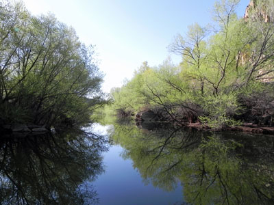
Fredlyfish4, CC BY-SA 3.0, via Wikimedia Commons; Image Size Adjusted
Quail Creel State Park
Featuring a 600-acre (240 ha) reservoir park offers camping, boating, swimming, and fishing
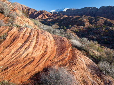
Bureau of Land Management, Public domain, via Wikimedia Commons; Image Size Adjusted
Red Cliffs National Conservation Area
Conservation area's 130 miles of non-motorized trails provide world-class recreational opportunities while protecting crucial habitat
Sand Hollow State Park
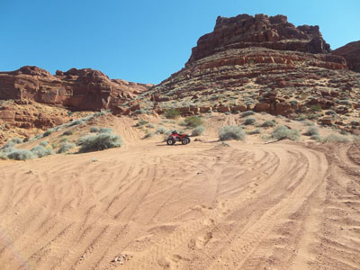
State park featuring a 1,322-acre reservoir and popular site for camping, fishing, boating, and ATV riding on nearby sand dunes
Snow Canyon State Park
Park featuring a canyon carved from the red and white Navajo sandston, extinct Santa Clara Volcano, lava tubes, lava flows, and sand dunes
Zion National Park
Park known for deep canyon walls of reddish and tan-colored sandstone, mountains, canyons, buttes, mesas, monoliths, rivers, slot canyons, and natural arches
-400.jpg)
