Nebraska Travel Guide
State in the Midwestern region of the United States, with its capital Lincoln, and its largest city is Omaha, which is on the Missouri River, and is composed of two major land regions: the Dissected Till Plains region consists of gently rolling hills and contains the state's largest cities, and the Great Plains region, occupying most of western Nebraska, is characterized by treeless prairie
Places to See in Nebraska
-1515.jpg)
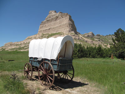
Chimney Rock National Historic Site
Mike Tigas from Columbia, MO, United States, CC BY 2.0, via Wikimedia Commons; Image Size Adjusted
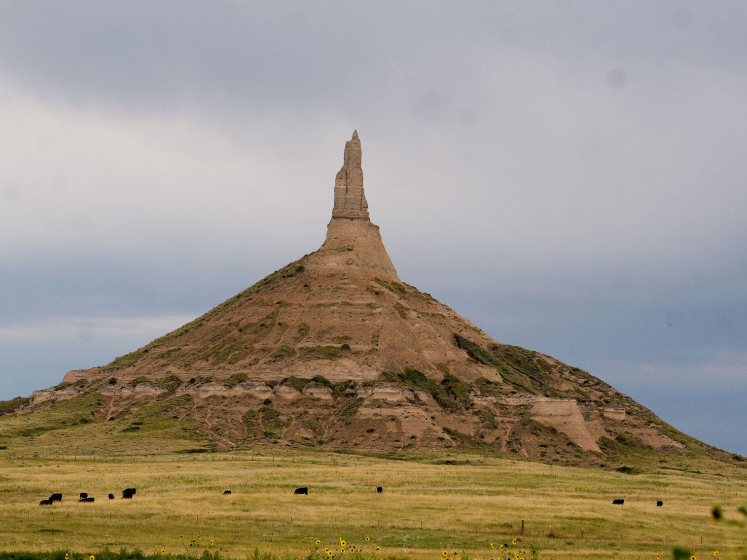
Chimney Rock National Historic Site
Mike Tigas from Columbia, MO, United States, CC BY 2.0, via Wikimedia Commons; Image Size Adjusted
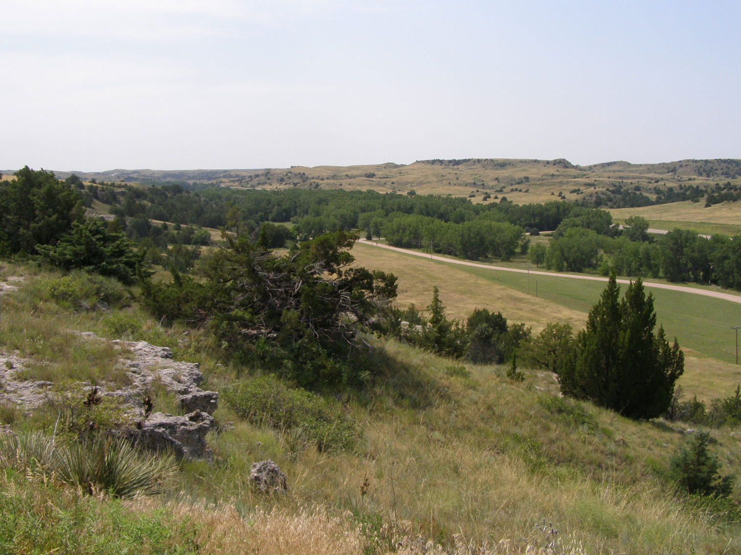
Ash Hollow State Historic Park
Chris Light, CC BY-SA 4.0, via Wikimedia Commons; Image Size Adjusted
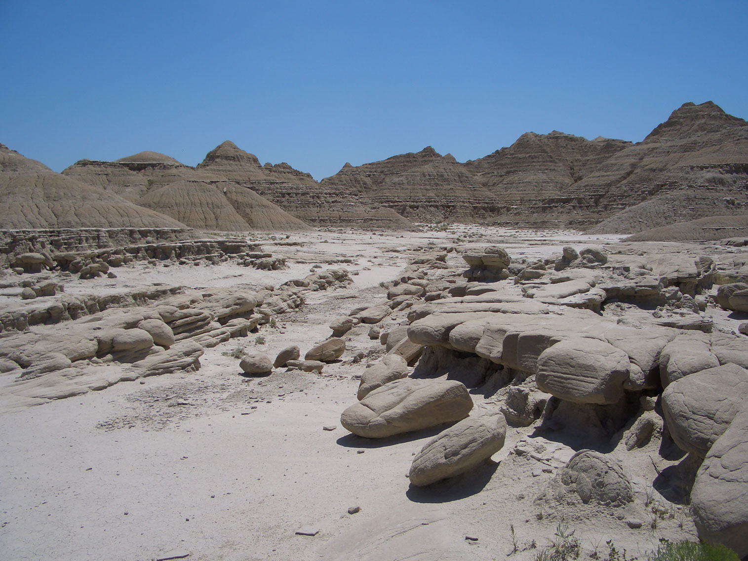
Toadstool Geologic Park
Brian Kell (Bkell), Public domain, via Wikimedia Commons; Image Size Adjusted
Landmarks and Landscapes
Carhenge · Courthouse and Jail Rocks · Cowboy Trail · Golden Spike Tower · Great Platte River Road Archway Monument · Holy Family Shrine · Pioneer Village · Sandhills · Strategic Air Command and Aerospace Museum · Stuhr Museum · Wildcat Hills
Nebraska is a state in the Midwestern region of the United States. Indigenous peoples, including Omaha, Missouria, Ponca, Pawnee, Otoe, and various branches of the Lakota (Sioux) tribes, lived in the region for thousands of years before European exploration. The state is crossed by many historic trails, including that of the Lewis and Clark Expedition.
Nebraska's area is just over 77,220 square miles (200,000 km2) with a population of over 1.9 million. Its capital is Lincoln, and its largest city is Omaha, which is on the Missouri River. Nebraska was admitted into the United States in 1867, two years after the end of the American Civil War.
Nebraska is composed of two major land regions: the Dissected Till Plains and the Great Plains. The Dissected Till Plains region consists of gently rolling hills and contains the state's largest cities, Omaha and Lincoln. The Great Plains region, occupying most of western Nebraska, is characterized by treeless prairie.
Nebraska's name is the result of anglicization of the archaic Otoe words Ñí Brásge meaning "flat water", after the Platte River which flows through the state.
The state has 93 counties and is split between two time zones, with the majority of the state observing Central Time and the Panhandle and surrounding counties observing Mountain Time. Three rivers cross the state from west to east. The Platte River, formed by the confluence of the North Platte and the South Platte, runs through the state's central portion, the Niobrara River flows through the northern part, and the Republican River runs across the southern part.
Panorama Point, at 5,424 feet (1,653 m), is Nebraska's highest point; though despite its name and elevation, it is a relatively low rise near the Colorado and Wyoming borders.
Areas under the management of the National Park Service include:
- Agate Fossil Beds National Monument near Harrison
- California National Historic Trail
- Chimney Rock National Historic Site near Bayard
- Homestead National Monument in Beatrice
- Lewis and Clark National Historic Trail
- Missouri National Recreational River near Ponca
- Mormon Pioneer National Historic Trail
- Niobrara National Scenic River near Valentine
- Oregon National Historic Trail
- Pony Express National Historic Trail
- Scotts Bluff National Monument at Gering
Areas under the management of the National Forest Service include:
- Nebraska National Forest
- Oglala National Grassland
- Samuel R. McKelvie National Forest
This article uses material from the Wikipedia article "Nebraska" which is released under the Creative Commons Attribution-Share-Alike License 3.0