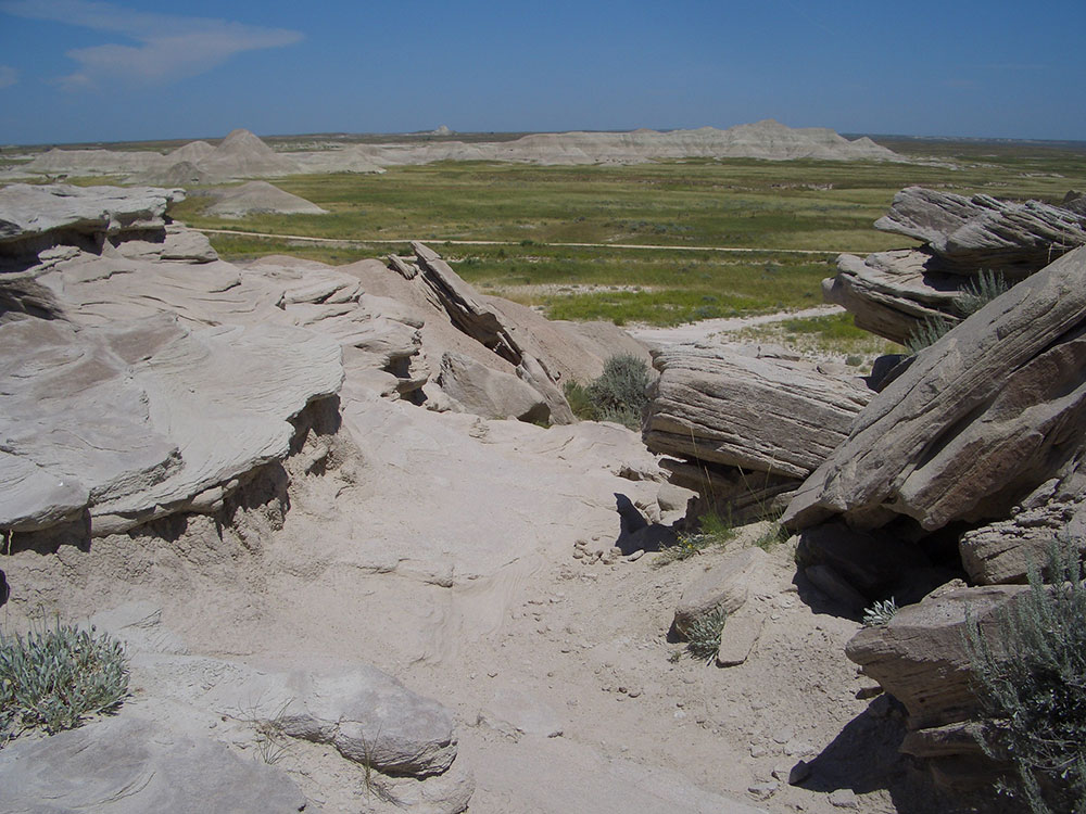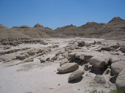
Park named after its unusual rock formations, many of which resemble toadstools located in the Oglala National Grassland in far northwestern Nebraska containng a badlands landscape and a reconstructed sod house.
General Information
How to Get There
Overview
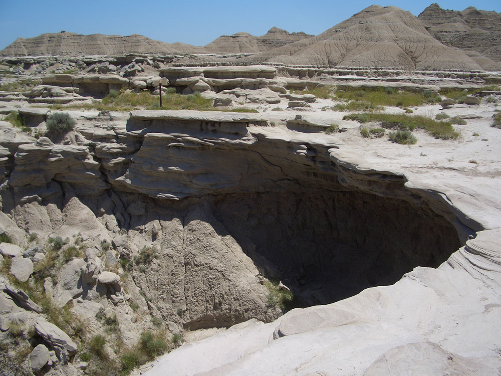
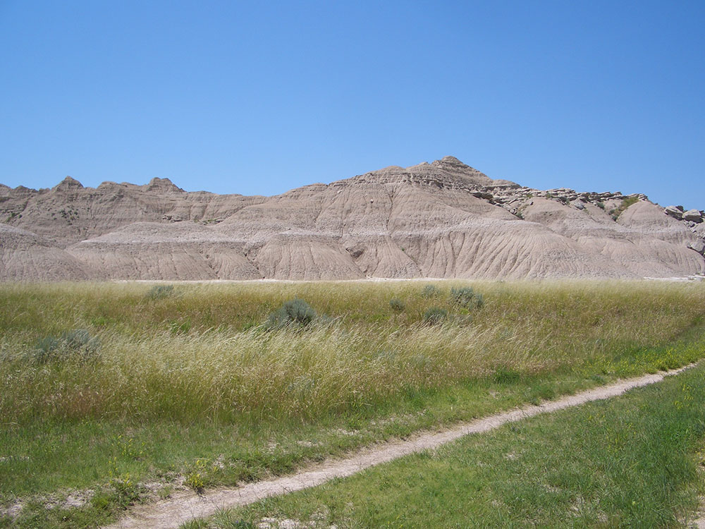
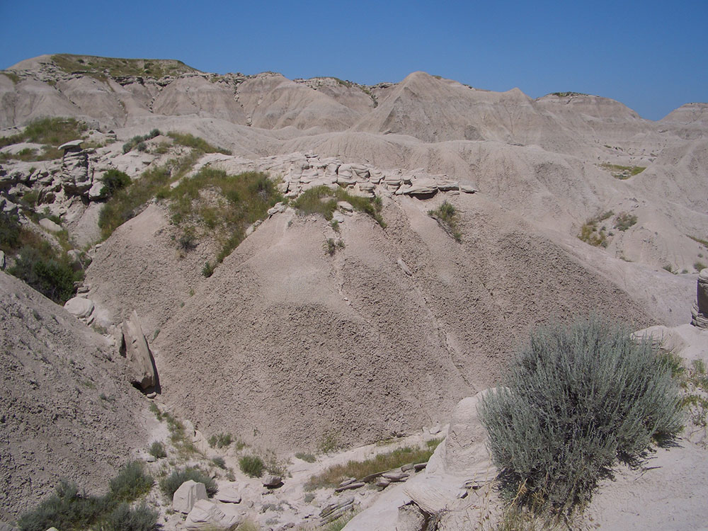
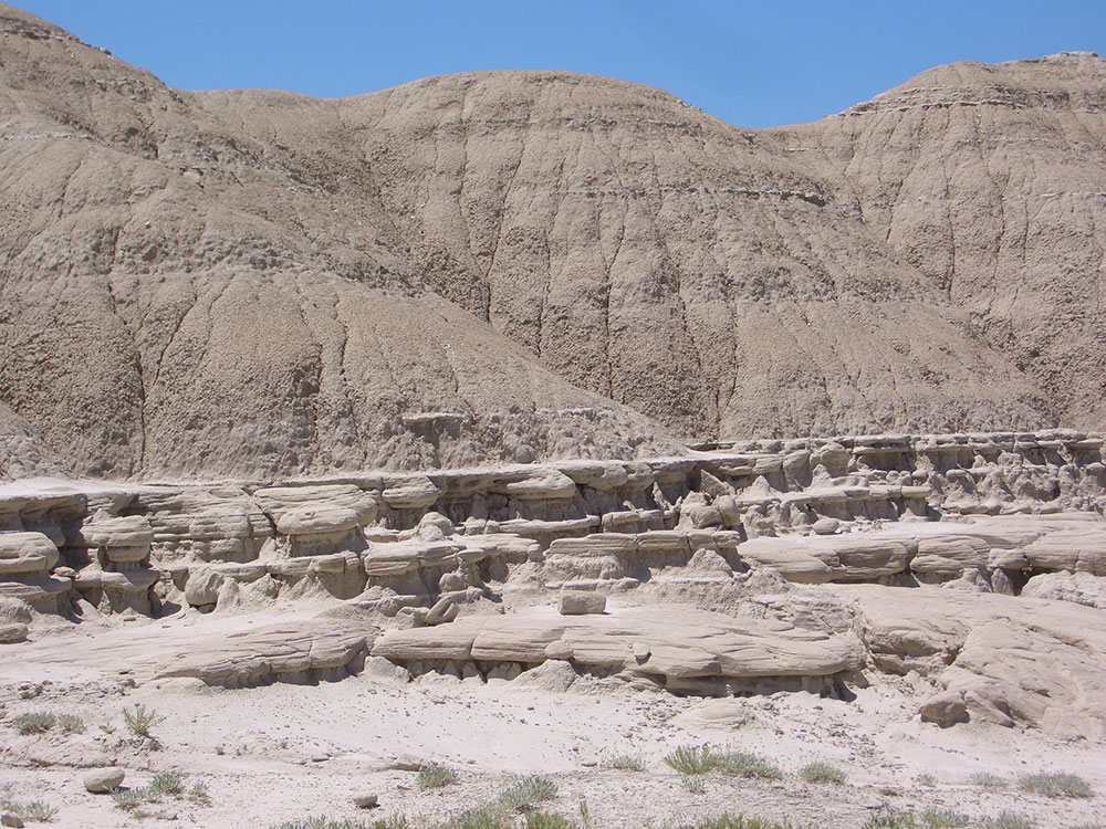
Toadstool Geologic Park is located in the Oglala National Grassland in far northwestern Nebraska. It is operated by the United States Forest Service. It contains a badlands landscape and a reconstructed sod house. The park is named after its unusual rock formations, many of which resemble toadstools.
The park is noted for its unusual geological formations, some in the shape of toadstools, and scientifically valuable fossil deposits. The interpretive kiosk explains and illustrates the local geology and provides information and history about the local grasslands. During hikes, visitors can look for signs of fossils that give scientists insight into the behavior of animals as they passed through this area as far back as 30 million years ago.
The trailhead at the campground provides access to three hiking trails with varying degrees of difficulty. A one mile loop highlights many examples of eroded clay/sandstone formations.
The Bison Trail leaves the interpretive loop at the half way point and continues up the canyon to Hudson-Meng Education and Research Center. Toadstool Campground to Hudson Meng is 3 miles one way.
A five mile loop begins at the campground and proceeds on the graveled section of the interpretive trail for a short distance before heading north through the badlands and grasslands on the Great Plains Trail. After 1.5 miles the Great Plains Trail intersects with the 918 Road.
Things to Do
Explore Nebraska's "Badlands"
Toadstool Geologic Park is one of Nebraska's most remarkable natural attractions, located within the Oglala National Grassland near Crawford. Often referred to as the "Badlands of Nebraska," the park features an otherworldly landscape of eroded clay formations, fossil-bearing rock layers, canyons, and unusual mushroom-shaped rock formations known as toadstools. The area provides visitors with a rare opportunity to explore ancient geological history while experiencing some of the most dramatic scenery in the Great Plains.
See the Famous Toadstool Formations
The park's signature attractions are the unusual rock pillars topped by harder capstones that resemble giant toadstools. These formations were created through millions of years of erosion and provide outstanding opportunities for photography, sightseeing, and geological exploration.
Discover Ancient Fossils and Geology
Toadstool Geologic Park contains exposed rock layers dating back more than 30 million years. Fossils of ancient mammals and prehistoric ecosystems have been found throughout the region. Interpretive signs along the trails explain the geological processes that shaped the landscape and the significance of the area's fossil record.
Experience the Oregon Trail
The nearby Hudson-Meng area and portions of the historic Oregon Trail provide visitors with opportunities to learn about westward expansion and the pioneers who crossed the Great Plains during the nineteenth century. Wagon ruts remain visible in some nearby locations.
Enjoy Stargazing and Photography
The park's remote location and minimal light pollution make it an excellent destination for stargazing. Visitors frequently enjoy spectacular sunsets, dark night skies, and panoramic views across the rugged badlands landscape.
Top Trails
Toadstool Trail
Length: Approximately 1 mile loop
Elevation Gain: Minimal
Difficulty: Easy
This popular interpretive trail loops through the heart of the badlands and passes many of the park's most distinctive rock formations. Informational signs explain the area's geology, fossil history, and natural processes while offering excellent photography opportunities.
Bison Trail
Length: Approximately 3 miles loop
Elevation Gain: Moderate
Difficulty: Moderate
Extending beyond the main geologic area, this trail traverses more remote badlands terrain and provides expansive views of rock formations, prairie landscapes, and fossil-bearing hills. It is ideal for visitors seeking a longer hiking experience.
Hudson-Meng Interpretive Walk
Length: Approximately 0.5 miles
Elevation Gain: Minimal
Difficulty: Easy
Located nearby, this interpretive route explores one of North America's most significant bison bonebed sites and offers insight into prehistoric wildlife and archaeological research in the region.
Scenic Overlook Routes
Length: Variable distances available
Elevation Gain: Minimal to Moderate
Difficulty: Easy
Additional short walks and overlooks throughout the park provide panoramic views of the surrounding badlands, grasslands, and unique geological features that make Toadstool one of Nebraska's most distinctive landscapes.
Sources: U.S. Forest Service Nebraska National Forests & Grasslands official Toadstool Geologic Park information, including details on geology, hiking trails, camping, fossil resources, and visitor amenities. https://www.fs.usda.gov/nebraska
Additional information verified through Nebraska National Forests and Grasslands resources covering the Toadstool Trail, Bison Trail, fossil-bearing formations, badlands geology, and recreational opportunities within Toadstool Geologic Park.
This article uses material from the Wikipedia article "Toadstool Geologic Park", which is released under the Creative Commons Attribution-Share-Alike License 3.0
This article uses material from usda.gov "Toadstool Geological Park and Campground"