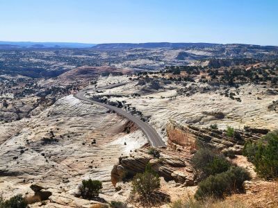
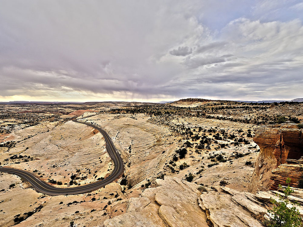
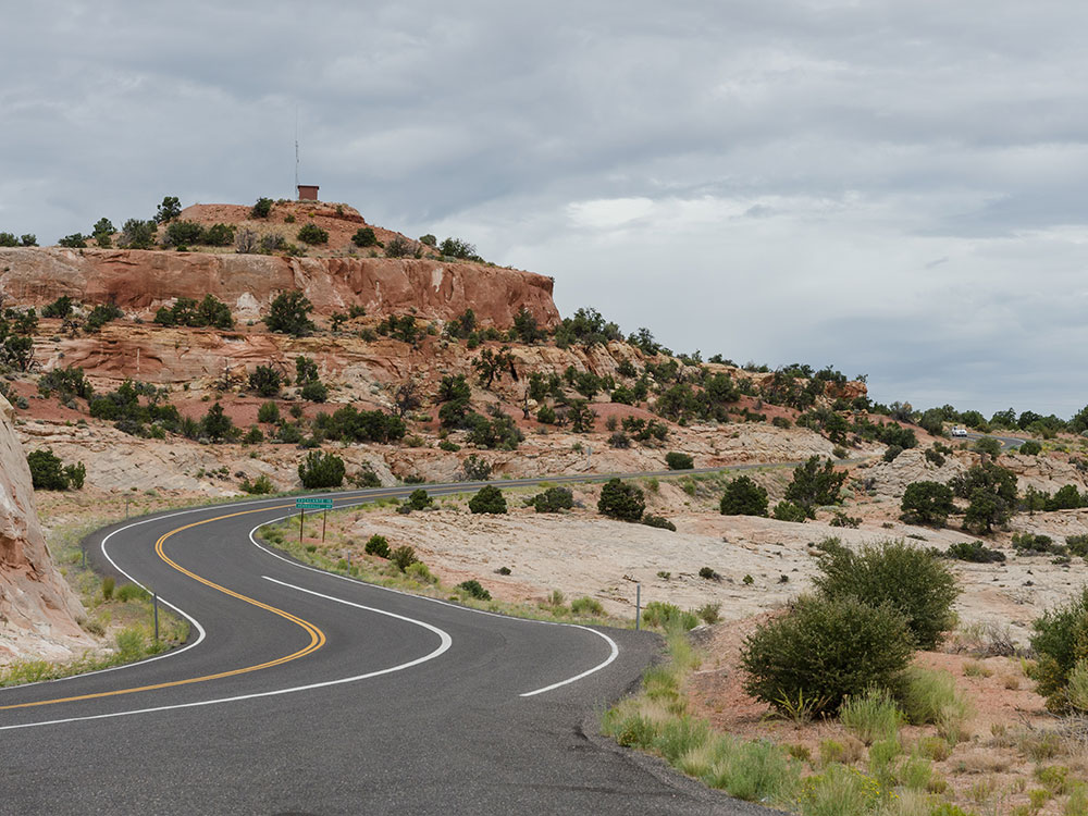
State Route 12 or Scenic Byway 12 (SR-12), also known as "Highway 12 — A Journey Through Time Scenic Byway", is a 123-mile-long (198 km) state highway designated an All-American Road
General Information
Accessible 24/7 unless closed for weather or maintenance
Some parks and attractions along the route may charge separate entrance fees
State Route 12 or Scenic Byway 12 (SR-12), also known as "Highway 12 — A Journey Through Time Scenic Byway", is a 123-mile-long (198 km) state highway designated an All-American Road located in Garfield County and Wayne County, Utah.
Proceeding west to east for 123 miles (nearly 200 km), the highway starts south of Panguitch at an intersection with US-89, crosses part of Dixie National Forest and Bryce Canyon National Park, continues through the small towns of Tropic, Cannonville, and Henrieville. It crosses various parts of Grand Staircase-Escalante National Monument (GS-ENM), continues northeast through Escalante and over the Escalante River, then over "The Hogback", a narrow ridge with no guardrails or shoulders and steep drop-offs on each side. It then proceeds north through more of GS-ENM, Boulder, the Aquarius Plateau, and Grover, ending in Torrey at an intersection with SR-24, five miles (8 km) west of Capitol Reef National Park. The 30-mile (48 km) long portion of the highway that ascends and descends Boulder Mountain on the Aquarius Plateau is known as Boulder Mountain Highway.
The segment of SR-12 between the US-89 and SR-63 junctions is part of the National Highway System.
This article uses material from the Wikipedia article "Utah State Route 12", which is released under the Creative Commons Attribution-Share-Alike License 3.0
-1000.jpg)
.jpg)