.jpg)
Alaska Peninsula and Aleutian Islands Travel Guide
Peninsula extending about 800 km (497 mi) to the southwest from the mainland of Alaska and ending in the Aleutian Islands, separating the Pacific Ocean from Bristol Bay, an arm of the Bering Sea
Places to See in Alaska Peninsula and Aleutian Islands
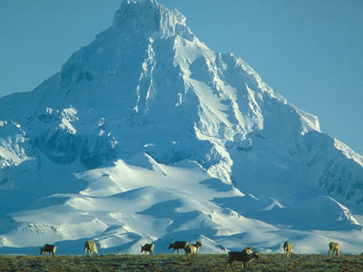
Sarvis, John, Public domain, via Wikimedia Commons; Image Size Adjusted

Alaska Maritime National Wildlife Refuge
Wildlife refuge comprising 2,400 islands, headlands, rocks, islets, spires and reefs in Alaska, featuring diverse landforms and terrains, including tundra, rainforest, cliffs, volcanoes, beaches, lakes, and streams
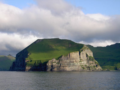
U.S Fish and Wildlife Service, Public domain, via Wikimedia Commons; Image Size Adjusted

Aleutian Islands
Chain of 14 large volcanic islands and 55 smaller islands that form part of the Aleutian Arc in the Northern Pacific Ocean, extending about 1,200 mi (1,900 km) westward from the Alaska Peninsula toward the Kamchatka Peninsula in Russia
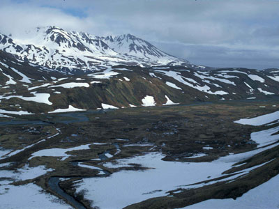
Sekora, U.S. Fish and Wildlife Service, Public domain, via Wikimedia Commons; Image Size Adjusted

Attu Island
Island part of the Aleutian Islands chain is the westernmost point of Alaska, the site of the only World War II land battle fought in the United States and an important location in the world of competitive birding
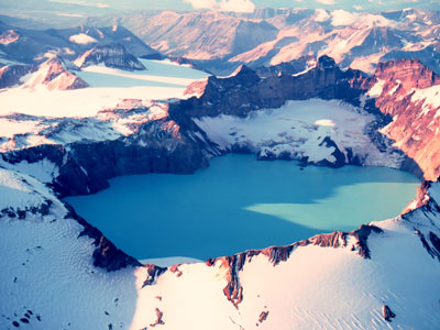
Captain Budd Christman, NOAA Corps, Public domain, via Wikimedia Commons; Image Size Adjusted

Katmai National Park and Preserve
National park and preserve in southwest Alaska, notable for the Valley of Ten Thousand Smokes and for its brown bears
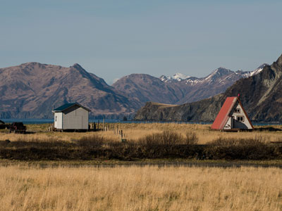
U.S. Department of Energy (official Flickr account), Public domain, via Wikimedia Commons; Image Size Adjusted

Kodiak Island Archipelago
Group of islands south of the main land-mass of Alaska including Kodiak Island, the second-largest island in the United States
James JonesResearch GeologistUSGS, Alaska Science Centerjvjones@usgs.gov, Public domain, via Wikimedia Commons; Cropped and Image Size Adjusted
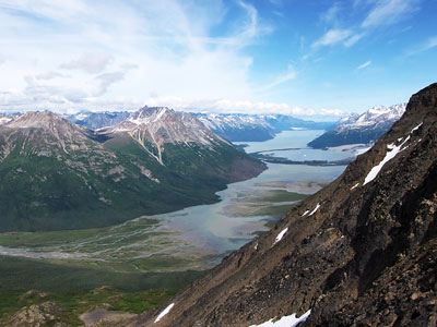
Lake Clark National Park and Preserve
Park includes many streams and lakes vital to the Bristol Bay salmon fishery, including its namesake Lake Clark, and protects rainforests along the coastline of Cook Inlet, alpine tundra, glaciers, glacial lakes, and two volcanoes

Mark Wipfli, Alaska Cooperative Fish and Wildlife Research Unit. Public domain., Public domain, via Wikimedia Commons; Image Size Adjusted

McNeil River State Game Sanctuary and Refuge
River on the eastern drainage of the Alaska Peninsula emerging from glaciers and alpine lakes in the mountains of the Aleutian Range is the prime habitat famous for its salmon and brown bears
Piergiuliano Chesi, CC BY-SA 3.0, via Wikimedia Commons; Image Size Adjusted

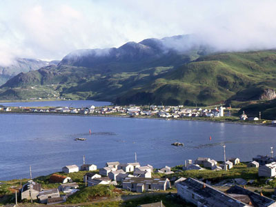
Unalaska
Volcanic island in the Aleutian Islands in Alaska with the city of Unalaska, Alaska, covering part of the island and all of neighboring Amaknak Island where the Port of Dutch Harbor is located
Overview
The Alaska Peninsula extends about 500 miles southwest from the mainland and ends in the Aleutian Islands, separating the Pacific from Bristol Bay and the Bering Sea. It is a remote, volcanic landscape, with active volcanoes (the Aleutian Range), big brown bear populations, and fishing towns. Roads are few, and most travel is by air or on the Alaska Marine Highway.
Highlights
- Katmai National Park: brown bears at Brooks Falls and the Valley of Ten Thousand Smokes
- Lake Clark National Park and McNeil River: bear viewing
- Aleutian Islands and Alaska Maritime National Wildlife Refuge
- Kodiak Archipelago
This article uses material from the Wikipedia article "Alaska Peninsula", which is released under the Creative Commons Attribution-Share-Alike License 3.0.