Mountain at 14,252-feet is California's third-highest peak after Mount Whitney and Mount Williamson and is a popular place for hiking & camping
From Bishop (53 mi): Follow US-395 S and CA-168 E to White Mountain Rd. Drive to White Mountain Rd in Mono County.
Overview
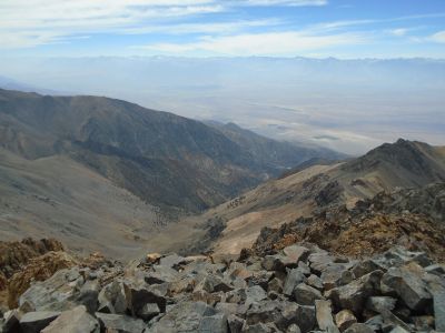
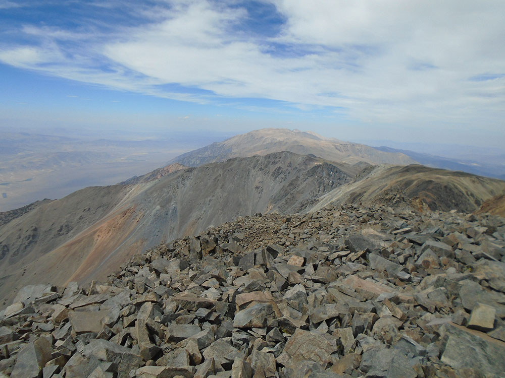
White Mountain Peak (or simply White Mountain), at 14,252-foot (4344.0 m), is the highest peak in the White Mountains of California, the highest peak in Mono County, and the third highest peak in the state after Mount Whitney and Mount Williamson.
It is the fourteenth most topographically prominent peak in the contiguous United States. White Mountain Peak is one of only two fourteeners (peaks above 14,000 feet) in California that are not in the Sierra Nevada, the other being Mount Shasta at the far northern end of the state in the Cascade Range. It is the only fourteener in the contiguous United States that is not in the Rocky Mountains, the Cascade Range, or the Sierra Nevada.
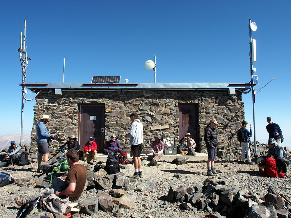
Research Station
The University of California operates the White Mountain Research Center, comprising three high altitude research stations, on the mountain: Crooked Creek Station at 10,200 feet (3,100 m), Barcroft Station at 12,470 feet (3,800 m), and a small hut at the summit. The effects of altitude on physiology are studied at the Barcroft Station and summit hut.
Climbing
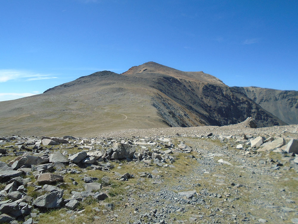
There is a winding dirt road leading to the summit station that is usually cleared of snow between late June and November. Access is restricted to hikers only by a locked gate about 2 miles before Barcroft station, but White Mountain Research Station usually opens this locked gate at 11,680 feet (3,560 m) once each year. Open gate days are typically held on a Sunday in the summer season.
The round-trip hike from the gate to the summit is about 14 miles (23 km) with less than 2,600 feet (800 m) of vertical gain. However, there are two different dips in the trail of about 250 feet each, adding up to a total elevation gain during the roundtrip of over 3500 feet. The open gate shaves about 4 miles (6 km) and 790 feet (240 m) of gain off the round trip. This route is popular with mountain bikers.
This article uses material from the Wikipedia article "Rainbow Basin", which is released under the Creative Commons Attribution-Share-Alike License 3.0.
