-400.jpg)
.jpg)
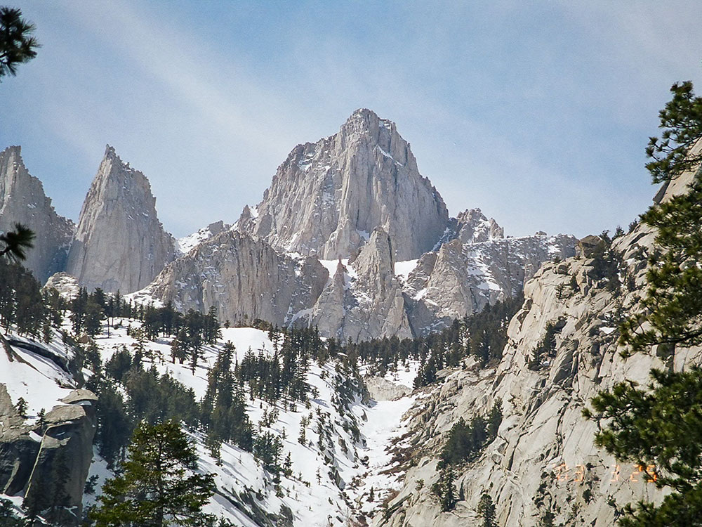
Tallest mountain in the contiguous United States and the Sierra Nevada, with an elevation of 14,505 feet
Overview
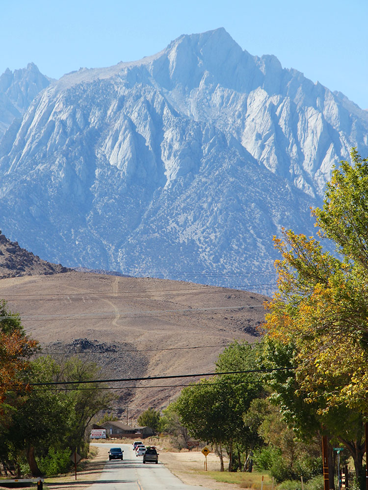
Mount Whitney (Paiute: Too-man-i-goo-yah) is the tallest mountain in the contiguous United States and the Sierra Nevada, with an elevation of 14,505 feet (4,421 m). It is in East-Central California, on the boundary between California's Inyo and Tulare counties, 84.6 miles (136.2 km) west-northwest of North America's lowest point, Badwater Basin in Death Valley National Park, at 282 ft (86 m) below sea level. The mountain's west slope is in Sequoia National Park and the summit is the southern terminus of the John Muir Trail, which runs 211.9 mi (341.0 km) from Happy Isles in Yosemite Valley. The eastern slopes are in Inyo National Forest in Inyo County.Mount Whitney Trail
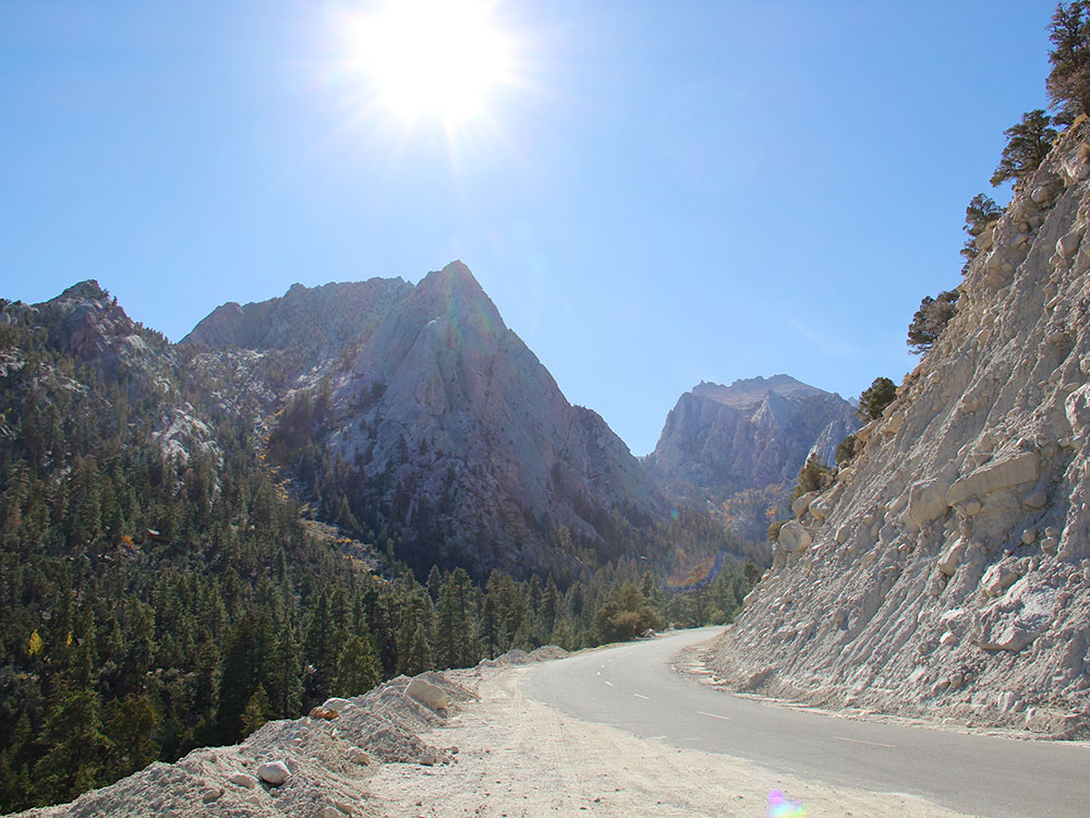
The most popular route to the summit is by way of the Mount Whitney Trail, which starts at Whitney Portal, at an elevation of 8,360 ft (2,548 m), 13 mi (21 km) west of the town of Lone Pine. The hike is about 22 mi (35 km) round trip with an elevation gain of over 6,100 ft (1,859 m). Permits are required year-round, and to prevent overuse the Forest Service issues a limited number of permits between May 1 and November 1. It holds an annual lottery for hiking and backpacking permits on the trail. Applications are accepted from February 1 through March 15. Any permits left over after the lottery is completed typically go on sale April 1. Most hikers plan to stay one or two nights camping along the route. Those in good physical condition sometimes attempt to reach the summit and return to Whitney Portal in one day. A one-day hike requires a "day use" permit that prohibits the use of overnight camping gear (sleeping bag and tent). Day hikers often leave Whitney Portal before sunrise and hike from 12 to 18 hours.
The original pack trail from Lone Pine to the summit of Mount Whitney was designed by local engineer Gustave Marsh. This original trail, opened on July 22, 1904, was the basis for most of today's Mount Whitney Trail.
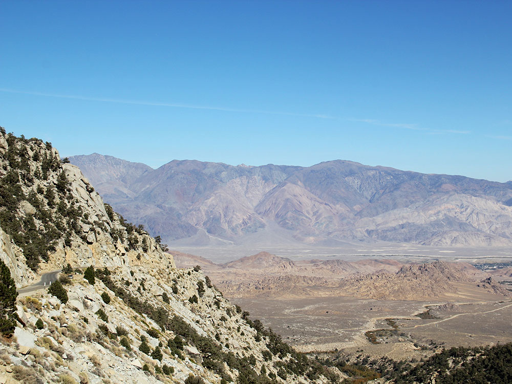
Whitney Portal
Whitney Portal (formerly, Hunter Flat and Hunters Camp) is the end of the Whitney Portal road in Inyo County, California, 13.7 miles (22 km) west of Lone Pine at an elevation of 8,374 feet (2,552 m). Whitney Portal is the gateway to Mount Whitney, the highest point in the contiguous United States; it is the trailhead for the Mount Whitney Trail. Campgrounds, parking lots, bearproof food storage facilities, a store and a restaurant are located at Whitney Portal.
Route
The Mount Whitney Trail starts at Whitney Portal. The 11-mile (18 km) long trail is non-technical when free of snow and ice, usually from July to late September, but is a strenuous hike that requires good physical fitness. The round-trip hike generally lasts about 12 to 14 hours.
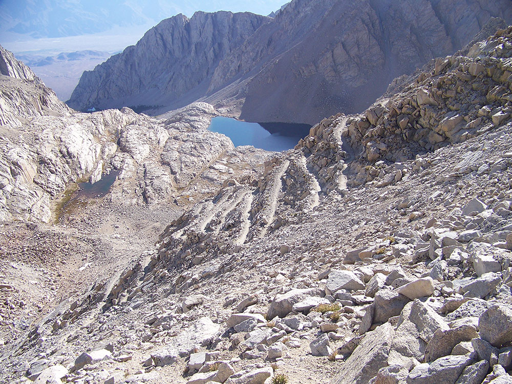
The trail does not follow the most direct route used by mountaineers along the North Fork of Lone Pine Creek, but rather the easier grade along the main branch of Lone Pine Creek to its source. The trail continues along 97 switchbacks to the Sierra crest about 2.5 miles (4.0 km) south of the summit. The trail then traverses very close to the ridgeline until reaching the summit plateau. This longer route allows for a standard hiking trail with a modest gradient. During peak season the trail is well-maintained and easy to follow. The trail loses a small amount of elevation beyond Trail Crest that is gained on the return. In this final stretch of the trail, on the west side of Whitney's needle-like south ridge, some sections of the trail must be rebuilt after each winter. The views of the interior High Sierra from the ridgeline are expansive, due to the elevation and precipitous exposure. The trail ends at the Smithsonian Institution Shelter on the summit of Mount Whitney.
Other Approaches
Longer approaches to Whitney arrive at its west side, connecting to the Mount Whitney Trail near the summit by way of the John Muir Trail.
Management
The Mount Whitney Trail, from above Lone Pine Lake to Trail Crest, lies within the special Mount Whitney Zone of the Inyo National Forest. Due to the high volume of trail users, the Forest Service enforces special regulations here to preserve Whitney's wild character. Wilderness permits are always required to use the trail, and between May 1 and November 1, a quota permits only 60 overnight users and 100 day users per day.
Beginning in 2012, the Mt. Whitney permit lottery switched over from mail-in applications to an online format.
Camping
Camping is allowed along most of the trail, more than 100 ft (30 m) from water, but level ground that meets that description is extremely limited, so most backpackers congregate in two camps. Outpost Camp, the lower of the two camps, is 3.8 mi (6.1 km) by trail from Whitney Portal, at 10,365 ft (3,159 m). It is sheltered by trees, near a waterfall and Bighorn Meadow. Trail Camp is 6.3 mi (10.1 km) from the trail head at 12,000 ft (3,700 m), in a rocky, often windy, alpine basin. This is also the last place where there is a reliable water source. The lake at Trail Camp has algae from the human waste deposits and is usually purified before drinking. A water pump or purifying and neutralizing tablets work well. Depending on conditions, clean water may be found in springs on the switchbacks. Most overnight backpackers will take between 2 and 4 days to complete this trip.
Other approaches
Longer approaches to Whitney arrive at its west side, connecting to the Mount Whitney Trail near the summit by way of the John Muir Trail.
Scrambles
The "Mountaineer's Route", a gully on the north side of the east face first climbed by John Muir, is considered a scramble, class 3 (PD+). The fastest recorded time up this route to the summit and back to the portal is 3 hours 10 minutes, by Jason Lakey of Bishop.
This article uses material from the Wikipedia article "Mount Whitney", and "Whitney Portal, California", which is released under the Creative Commons Attribution-Share-Alike License 3.0
-750.jpg)
.jpg)
-1000.jpg)
.jpg)
-1000.jpg)
.jpg)