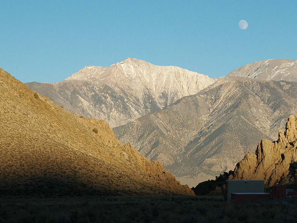
Mountain with a peak elevation of 13,147 feet (4,007 m), is the highest natural point in Nevada
From Bishop, CA (52 miles): Head east on W Line St toward Fulton St. Use the left 2 lanes to turn left onto N Main St. Turn right onto US-6 E/N Main St. Turn right onto Queen Canyon Rd. Turn right.
Overview
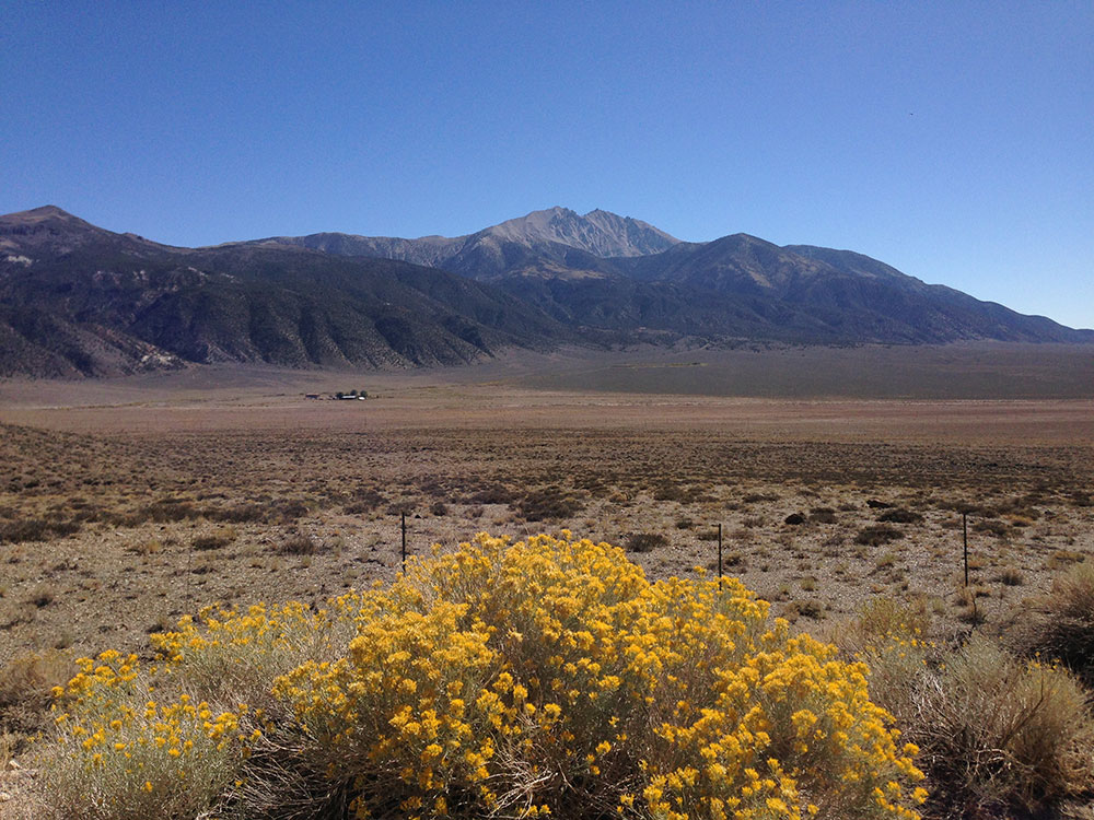
Boundary Peak is a mountain in Esmeralda County, Nevada. With a peak elevation of 13,147 feet (4,007 m), it is the highest natural point in the state of Nevada.
Geography
Boundary Peak is the northernmost peak of 13,000 feet or greater elevation within the White Mountains. The summit is located in Esmeralda County of southwestern Nevada, and is within the Boundary Peak Wilderness of the Inyo National Forest. It is less than half a mile (1 km) from the California state line, which is how it derived its name.
While it is the highest point in Nevada, the considerably taller Montgomery Peak (13,441 feet (4,097 m)) is less than a mile away, across the state line in California. By most definitions Boundary Peak, which has a prominence of only 253 feet, is considered to be a sub-peak of Montgomery Peak.
Boundary Peak is only 82 feet (25 m) taller than Wheeler Peak, which is located in Great Basin National Park, White Pine County in eastern Nevada. By most definitions, Wheeler Peak is the tallest independent mountain within Nevada.
Climbing
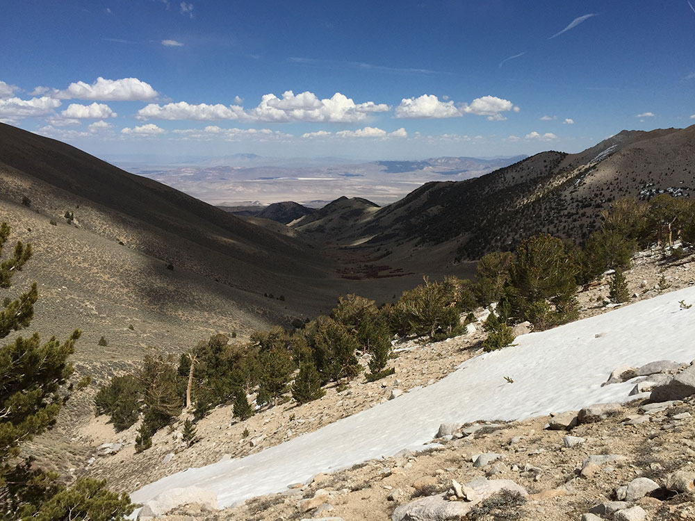
This peak is most often climbed from the Nevada side. From there, a climber may scramble the ridge connecting to Montgomery Peak.
This article uses material from the Wikipedia article "Boundary Peak (Nevada)", which is released under the Creative Commons Attribution-Share-Alike License 3.0
Featured Trail
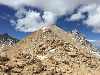
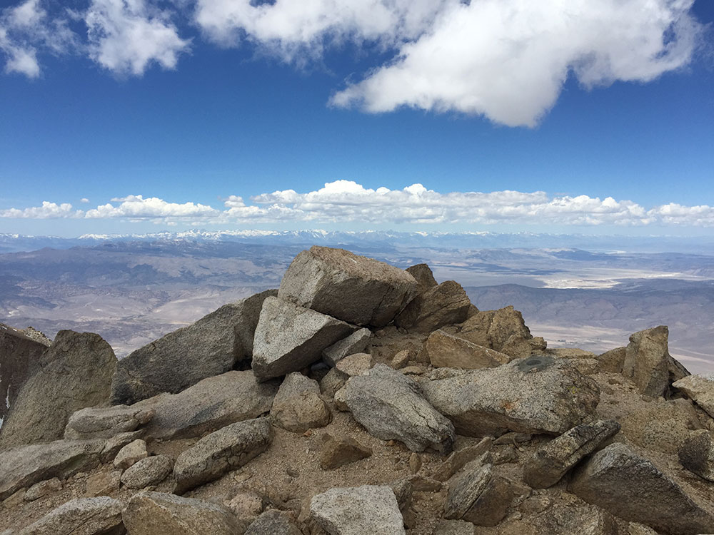
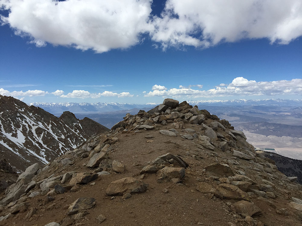
Boundary Peak via Queen Mine Trail
8.0 miles round-trip, 3,543 feet
Difficult
Trail to summit of Boundary Peak.