Second highest mountain in Yosemite and the highest peak that is a simple hike to the summit
From Yosemite Valley El Portal Entrance (64 mi): Take El Portal Rd and Big Oak Flat Rd to Ireland Lake. Drive to Tioga Rd/Tioga Pass Rd to trailhead.
Overview
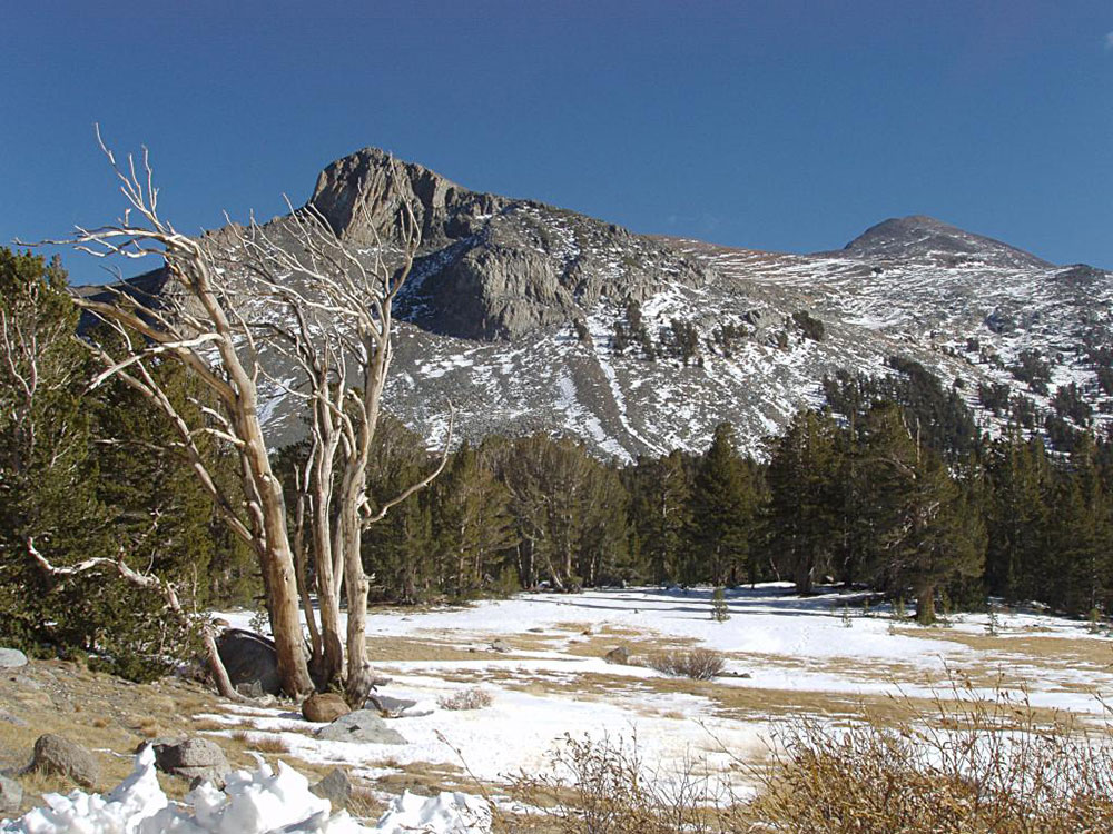
Mount Dana's summit marks the eastern boundary of Yosemite National Park and the western boundary of the Ansel Adams Wilderness. At an elevation of 13,061 feet (3,981 m), it is the second highest mountain in Yosemite (after Mount Lyell), and the northernmost summit in the Sierra Nevada which is over 13,000 feet (3,962.4 m) in elevation. Mount Dana is the highest peak in Yosemite that is a simple hike to the summit. The mountain is named in honor of James Dwight Dana, who was a professor of natural history and geology at Yale.
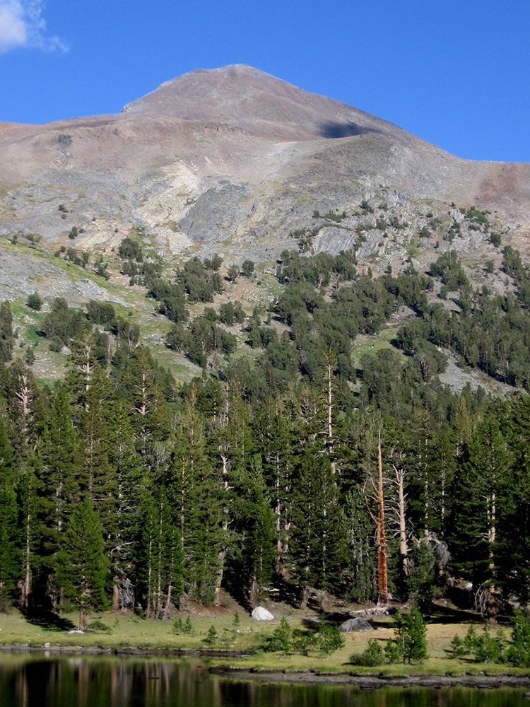
Mount Dana is composed of prebatholithic rock that is mostly reddish metamorphic rock, which was composed by metavolcanics of surfacing magma from the Mesozoic Era.
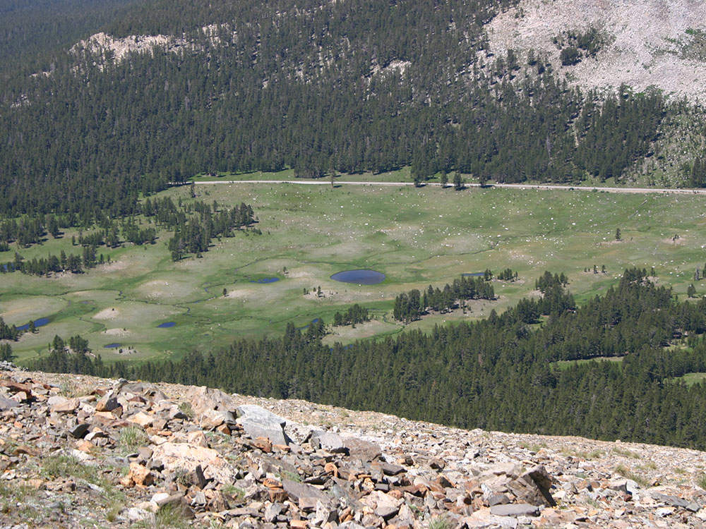
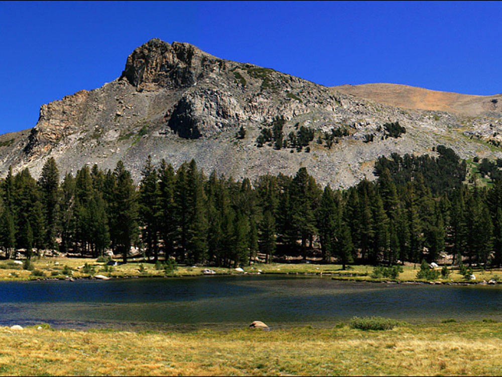
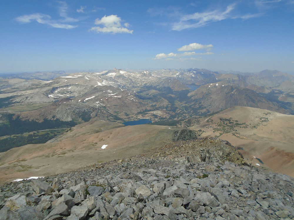
Mount Dana's northern face includes a small, receding glacier known as the Dana Glacier. The Dana Meadows lie at the foot of the mountain. From the top, lakes throughout Dana Meadows, Mono Lake, Tioga Peak and many other mountains are in view.
From the Tioga Pass Road there are many easy routes. (class 1), available that lead to the summit along the mountain's western or southern slopes. These routes rise 3,108 feet (947 m) in elevation in 2.9 miles (4.7 km), (a 20.3% average grade). The trail is not frequently maintained.
There is a clearly marked path leading just above tree line. After topping a ridge, a set of use-paths and ducked routes are present, with the main path running along the easterly ridgeline. Additionally, numerous alternate trail segments begin and end at various points on the southwestern face, making parts of this hike a difficult class 2. The path segments turn into scree toward the summit, where a shallow stone-walled shelter and register are found. Significant snow fields on the mountain slopes can exist late into the summer season. Total round trip hiking time can be anywhere between 3 and 12 hours depending many factors, such as acclimatization to elevation.
This article uses material from the Wikipedia article "Mount Dana", which is released under the Creative Commons Attribution-Share-Alike License 3.0
 Eeekster, CC BY 3.0, via Wikimedia Commons ; Image Size Adjusted
 Jon Starling, CC BY-SA 3.0, via Wikimedia Commons ; Image Size Adjusted