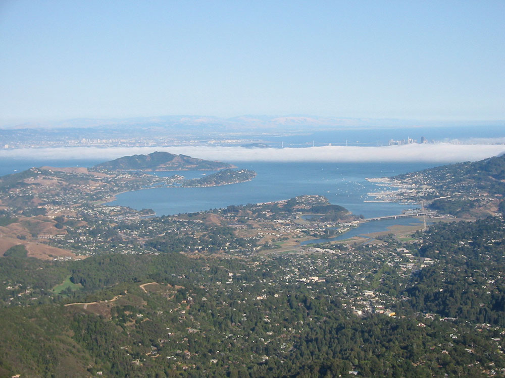
Highest peak in the Marin Hills, which are part of the Northern California Coast Ranges and clearly visible from the city of San Francisco and the East Bay region
Corte Madera, 13 mi
From San Francisco (22 mi): Take Franklin St to Lombard St 10 min. Take US-101 and CA-1 N to Panoramic Hwy in Tamalpais-Homestead Valley. Continue on Panoramic Hwy. Drive to E Ridgecrest Blvd.
Overview
Mount Tamalpais, known locally as Mount Tam, is a peak often considered symbolic of Marin County. Much of Mount Tamalpais is protected within public lands such as Mount Tamalpais State Park, the Marin Municipal Water District watershed, and National Park Service land, such as Muir Woods.
The name Tamalpais was first recorded in 1845. It comes from the Coast Miwok name for this mountain, támal pájiṣ, meaning "west hill".
Geography
Mount Tamalpais is the highest peak in the Marin Hills, which are part of the Northern California Coast Ranges. The elevation at the West Peak, where a radar dome currently stands, is between 2,560 feet (780 m) and 2,578 feet (786 m). The East Peak is at 2,571 feet (784 m). The mountain is clearly visible from the city of San Francisco and the East Bay region.
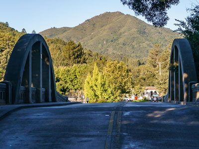
The majority of the mountain is contained in protected public lands, including Mount Tamalpais State Park, Muir Woods National Monument, and the Mount Tamalpais Watershed. It adjoins the Golden Gate National Recreation Area (which in turn adjoins Point Reyes National Seashore) as well as several Marin County Open Space Preserves. This provides nearly 40 miles (64 km) of continuous publicly accessible open space. Some of the lower slopes of Mount Tamalpais fall within several cities and unincorporated communities of Marin County, including Mill Valley, Tamalpais-Homestead Valley, Stinson Beach, and Kentfield. These areas are generally developed, consisting of mostly low-density single-family homes.
Recreation
Mount Tamalpais is a hiking, picnicking, mountain and road cycling, horseback riding, and hang-gliding destination of the San Francisco Bay Area, with over 100 miles (160 km) of trails and fire roads. With numerous trailheads, a well-networked trail and road system, and hikes of greatly varying length and difficulty, the mountain offers a compelling range of attractions. Marin Municipal Water District maintains several reservoirs on the north slopes of Mount Tamalpais, including Alpine Lake, Kent Lake, Bon Tempe Lake, Phoenix Lake, and Lake Lagunitas.
This article uses material from the Wikipedia article "Mount Tamalpais", which is released under the Creative Commons Attribution-Share-Alike License 3.0
-1000.jpg)
.jpeg)