-400.jpg)
.jpg)
Steep, rocky coastal promontory with the 1.3-mile-long Devil's Slide Trail open to pedestrians and bicyclists, taking over the section of roadway formerly used by State Route 1 and now bypassed by the new tunnels
General Information
Closing times vary seasonally from 5pm to 8pm
Free parking available at north and south trailheads
How to Get There
From San Francisco, CA (15 mi): Take CA-1 S toward Pacifica, pass through the Tom Lantos Tunnel, and turn into the north or south parking lot for Devil’s Slide Trail just before or after the tunnel.
Overview
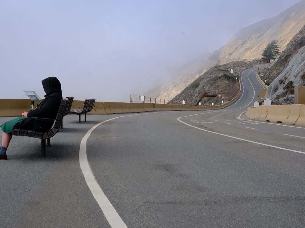
Devil's Slide is a coastal promontory in California. It lies on the San Mateo County coast between Pacifica and Montara. Its name comes from the rocky edges prone to accident. Devil's Slide is the name given to a steep, rocky coastal promontory located about midway between Montara and the Linda Mar District of Pacifica. The terrain is characterized by steep, eroded slopes with natural gradients ranging between 30 and 50%.
Immediately east of Devil's Slide is a former stretch of California State Route 1, famous for closures and landslides, which also was called "Devil's Slide". Construction of the road began in 1935 and was completed in 1936, replacing the steep, narrow, and winding Pedro Mountain Road. It was known for landslides and erosion that often occur during winter storms, sometimes making the road impassable.
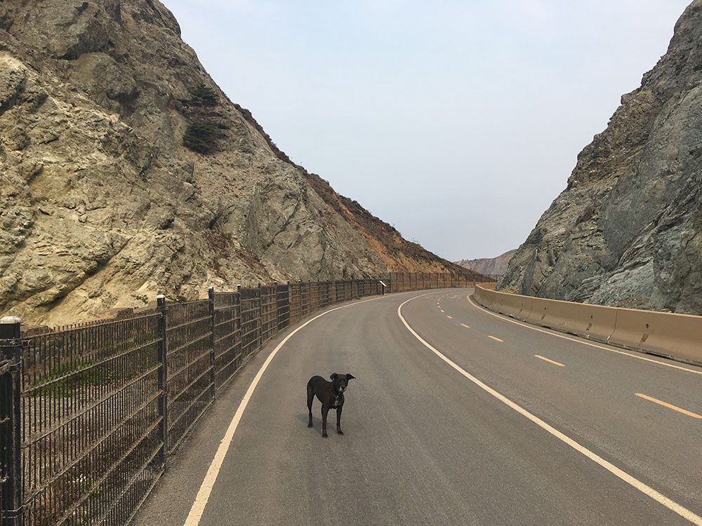
On March 25, 2013, Caltrans shut down the landslide-prone coastal road, replacing it with the Tom Lantos Tunnels, which take the highway through the promontory behind the precarious cliffs. On March 27, 2014, the 1.3-mile (2.1 km)-long Devil's Slide Trail was opened to pedestrians and bicyclists, taking over the section of roadway formerly used by State Route 1 and now bypassed by the new tunnels.
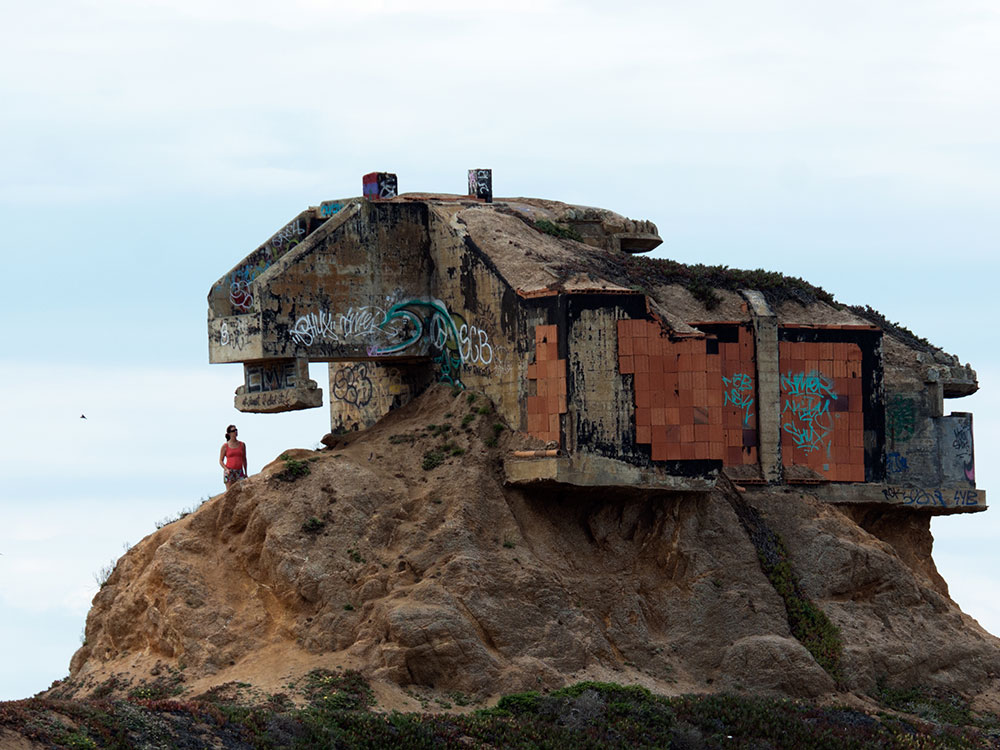
Devil's Slide was the location of a military triangulation station and observation site used during World War II as part of the harbor defense of San Francisco. There were six military structures at the Devil's Slide: three concrete and steel observation pill-boxes, two concrete-and-earth bunkers, and a reinforced steel observation tower. The pill-boxes were used as hardened observation posts, and one of the bunkers was used as a communications and command post. The southernmost bunker site was sold to a private owner in 1983, but some of the exposed structure remains.
This article uses material from the Wikipedia article "Devil's Slide (California)", which is released under the Creative Commons Attribution-Share-Alike License 3.0
-1000.jpg)
.jpg)
-1000.jpg)
.jpg)