.jpg)
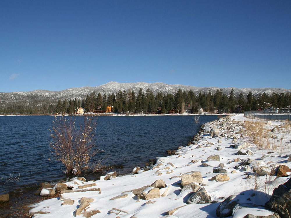
Reservoir, located in the San Bernardino Mountains, is a snow and rain-fed lake, having no other means of tributaries
From Los Angeles (98 mi): Get on US-101 S from N Main St. Take I-10 E and CA-210 E/Foothill Fwy to CA-330 N in San Bernardino. Take exit 81 from CA-210 E/Foothill Fwy. Follow CA-330 N and CA-18 to Pine Knot Ave in Big Bear Lake
Overview
Big Bear Lake is a reservoir, located in the San Bernardino Mountains in California. It is a snow and rain-fed lake, having no other means of tributaries.
 BigBearCabins, CC BY-SA 4.0, via Wikimedia Commons ; Image Size Adjusted
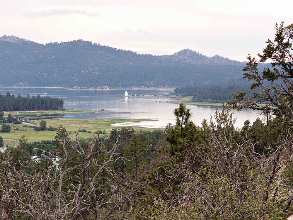
Big Bear Lake is geophysically defined by its North and South Shore. Big Bear Boulevard follows the South Shore and leads into the Big Bear Valley as a continuation of Highway 18 (the so-called Rim of the World Highway, which approaches from the west). Big Bear Boulevard winds east through Papoose Bay, Boulder Bay and Metcalf Bay, then leads directly east to the city of Big Bear Lake. At a point called The Village, the road turns toward the lake and then curves eastward to Moonridge, the ski resorts at Snow Summit and Bear Mountain, and Stanfield Cutoff, a causeway located near the east end of the lake. Big Bear Boulevard then continues east into Big Bear City, which is an unincorporated community despite its name. Bear Creek and Siberia Creek flow into the lake and Bear Creek flows out of the lake, traveling about 9 miles (14 km) southwest to the Santa Ana River.
North Shore (Highway 38) begins at the Dam Junction of Highway 18. It travels east past the historic location of Gray's Landing, a famous 1920s fishing camp. It turns north around Grout Bay and travels through the small unincorporated town of Fawnskin. The road meanders across North Shore through Forestry lands, past the Big Bear Solar Observatory, past the Big Bear Discovery Center, past the Serrano Campground (U.S.F.S), accessing the public boat launch, and Stanfield Cutoff. North Shore Drive continues east into Big Bear City and Baldwin Lake.
The primary approach to Big Bear is via Highway 330 out of San Bernardino through Running Springs where it intersects Highway 18. Highway 18 proceeds past Arrowbear and Snow Valley, over 7,200 ft (2,190 m) Lake Vista Summit and across the 15 mi (24 km) "Arctic Circle" for a total distance of 33 mi (53 km). Big Bear Lake can also be accessed by Hwy 38 (referred to as 'The Backside') at the San Bernardino (10) Freeway near Redlands, and takes a 52 mi (84 km) mile route that passes through Big Bear City on the east. From north of Lucerne Valley, it can be accessed by Highway 18 over the pass into Baldwin Lake and through the north side, into Big Bear City.
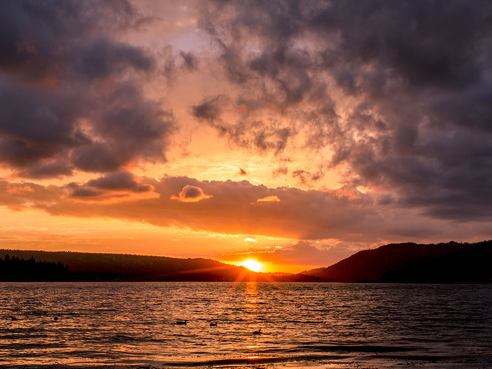
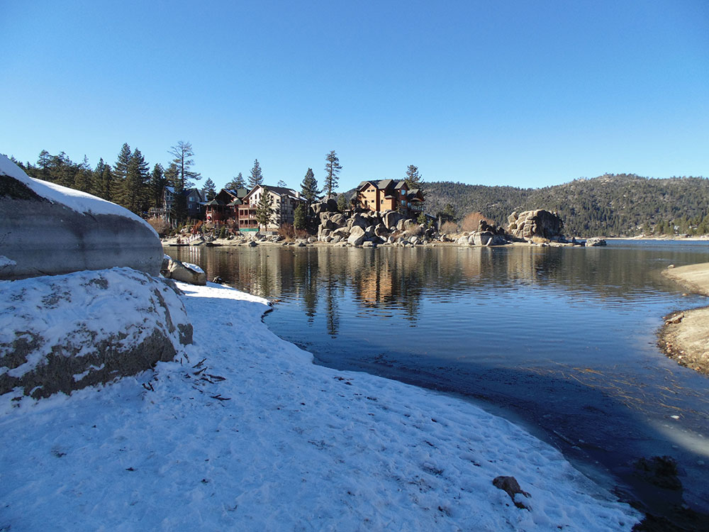
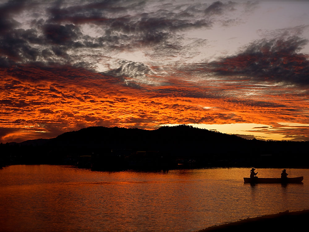
Big Bear Lake provides an attractive setting for many outdoor activities, including fishing (trout, bluegill, crappie, catfish and largemouth bass), boating, and water skiing. Because of the very cold water and the presence of underwater obstacles near the shorelines, swimming is discouraged.
- North Shore (west to east)
- Fawnskin (San Bernardino County uninc.)
- Big Bear Solar Observatory (New Jersey Institute of Technology)
- Big Bear Discovery Center
- South Shore (west to east)
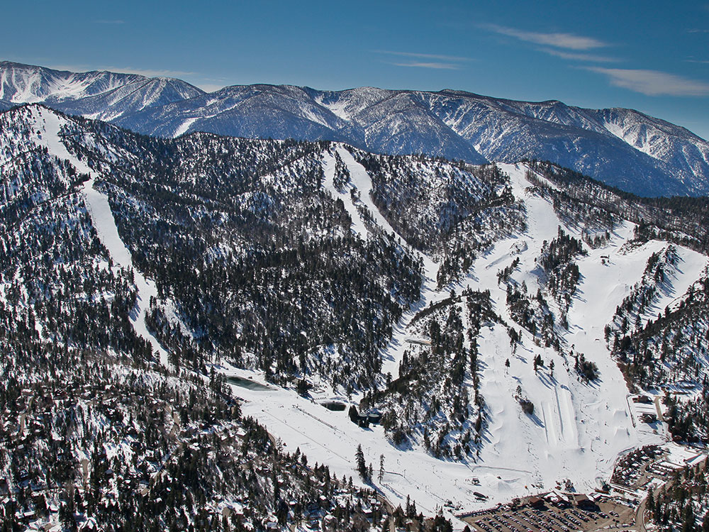
- Snow Summit (skiing; snowboarding; mountain biking in summer; ski lift open in summer for sightseeing)
- Bear Mountain (skiing and snowboarding in winter; golf course in summer)
This article uses material from the Wikipedia article "Big Bear Lake", which is released under the Creative Commons Attribution-Share-Alike License 3.0
 http://www.bearmountain.com/snowboard/mountain-info/mountain-facts/, CC BY-SA 3.0, via Wikimedia Commons; Image Size Adjusted
-1000.jpg) Ian D. Keating, CC BY 2.0, via Wikimedia Commons; Image Size Adjusted
Ian D. Keating, CC BY 2.0, via Wikimedia Commons; Image Size Adjusted.jpg)
 Adrián Cerón, CC BY-SA 3.0, via Wikimedia Commons ; Image Size Adjusted
-1000.jpg) Pacific Southwest Region 5, Public domain, via Wikimedia Commons; Image Size Adjusted
Pacific Southwest Region 5, Public domain, via Wikimedia Commons; Image Size Adjusted.jpg)
 Steve Hedin, CC BY-SA 3.0, via Wikimedia Commons; Image Size Adjusted
 Plane777 (talk) (Uploads), Public domain, via Wikimedia Commons ; Image Size Adjusted
 Junkyardsparkle, CC0, via Wikimedia Commons ; Image Size Adjusted
 Alistair Cunningham, CC BY 3.0, via Wikimedia Commons ; Image Size Adjusted