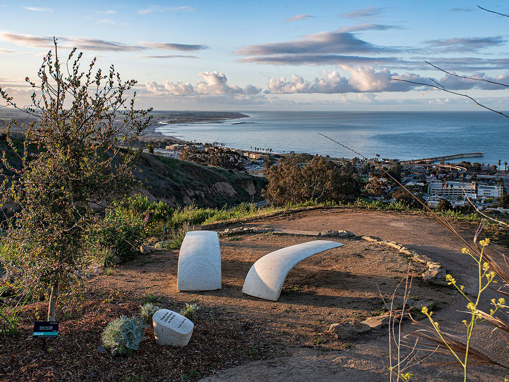
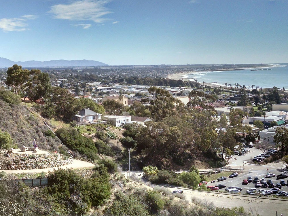
Officially San Buenaventura, city is a coastal site, set against undeveloped hills and flanked by two free-flowing rivers on the Central California Coast
From Los Angeles (68 mi): Get on US-101 N from W Temple St. Follow US-101 N to S California St in Ventura. Take exit 70A from US-101 N. Drive to S Oak St.
Overview
Ventura, officially San Buenaventura, is a coastal site, set against undeveloped hills and flanked by two free-flowing rivers. In 1782, the Mission San Buenaventura was founded nearby, where it benefitted from the water of the Ventura River. The town grew around the mission compound and incorporated in 1866. The mission and these buildings are at the center of a downtown that has become a cultural, retail, and residential district and visitor destination.
Ventura lies between Los Angeles and Santa Barbara along U.S. Route 101, which was one of the original U.S. Routes. The highway is now known as the Ventura Freeway, but the original route through the town has been designated El Camino Real, the historic pathway connecting the California missions. Ventura is part of the Oxnard-Thousand Oaks-Ventura, CA metropolitan area.
Geography
Ventura is located northwest of Los Angeles on the California coast. The western portion of the city stretches north along the Ventura River and is characterized by a narrow valley with steeply sloped areas along both sides. The steep slopes of the Ventura foothills abut the northern portion of the community. Much of the eastern portion is on a relatively flat alluvial coastal plain lying along the western edge of the Oxnard Plain. The Santa Clara River forms the city's southerly boundary with the city limits reaching up to the beginning of the Santa Clara River Valley at the historic community of Saticoy.
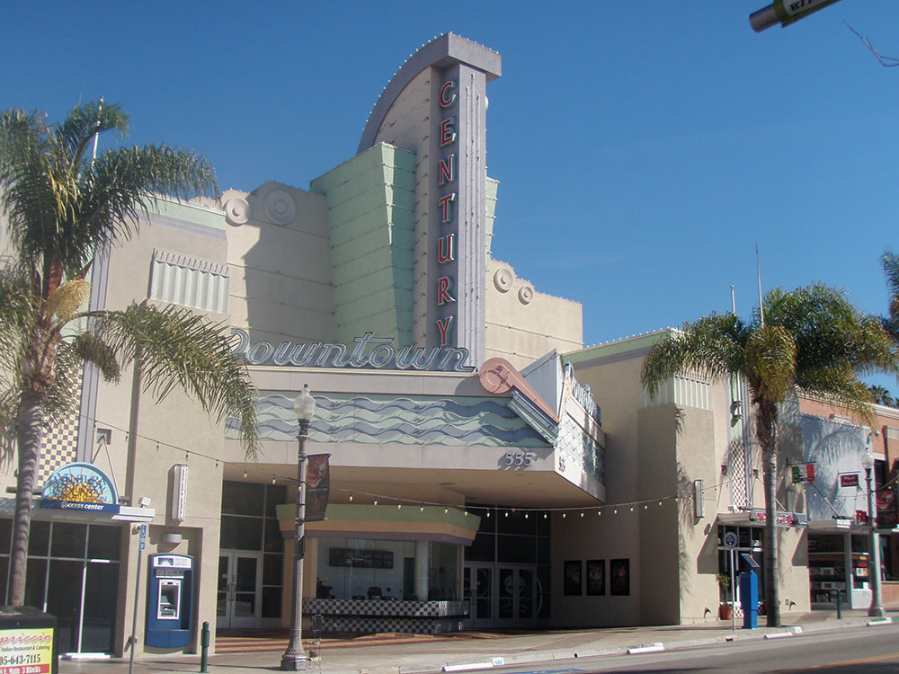
Downtown
Downtown Ventura is home to the Mission San Buenaventura, museums, galleries, dining, and shopping. Located in downtown is the historic Ortega Adobe, once home to the Ortega family known for chili products. Downtown Ventura is home to Ventura's ornate city hall with its statue of Junipero Serra. Downtown includes restaurants, wine bars, breweries, and the Rubicon Theatre Company.
Harbor
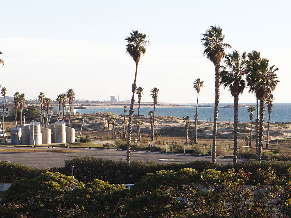
Ventura Harbor has fishing boats, seafood restaurants and a retail center, the Ventura Harbor Village. The Channel Islands National Park Headquarters is also located at the harbor, and boats to the Channel Islands depart from there daily.
Olivas Adobe
The Olivas Adobe, one of the early "California Rancho"-styled homes, is operated today as a museum and performing arts venue. Located adjacent to the Olivas Park Golf Course, the home is one of the most visited historic sites on the central Pacific Coast.
This article uses material from the Wikipedia article "Ventura, California", which is released under the Creative Commons Attribution-Share-Alike License 3.0
Featured Location
Junkyardsparkle, CC0, via Wikimedia Commons; Image Size Adjusted
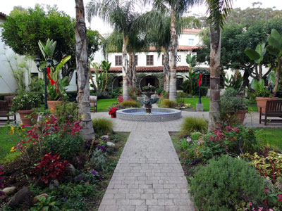
Mission Basilica San Buenaventura
Ninth Spanish mission includes the remains of the original mission including the church and its garden
Junkyardsparkle, CC0, via Wikimedia Commons; Image Size Adjusted
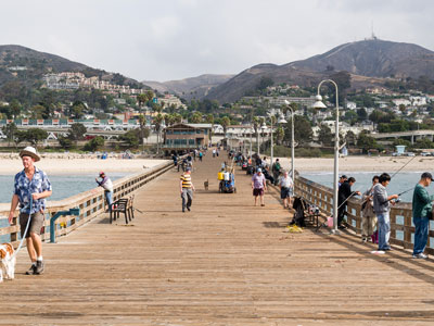
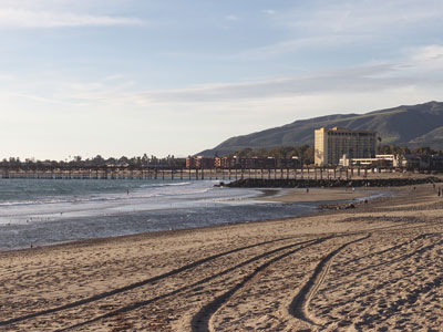
San Buenaventura State Beach
State Beach located in Ventura, California, consists of a 1,700-foot (520 m) pier that has a snack bar, restaurant, and bait shop
-1000.jpg)
.jpg)
_at_Foster_Park-1000.jpg)
_at_Foster_Park.jpg)