A short coastal hike descending through sandy dunes and a canyon to a rocky shoreline known for vibrant tide pools and dramatic ocean scenery.
How to Get There
From Morro Bay (7 mi): Take Main St to CA-1 S, turn right onto South Bay Blvd, continue onto Los Osos Valley Rd which becomes Pecho Valley Rd, and follow it into the park to the Hazard Canyon parking area along the road before the main visitor center.
Overview
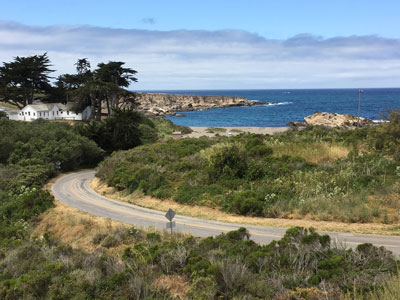
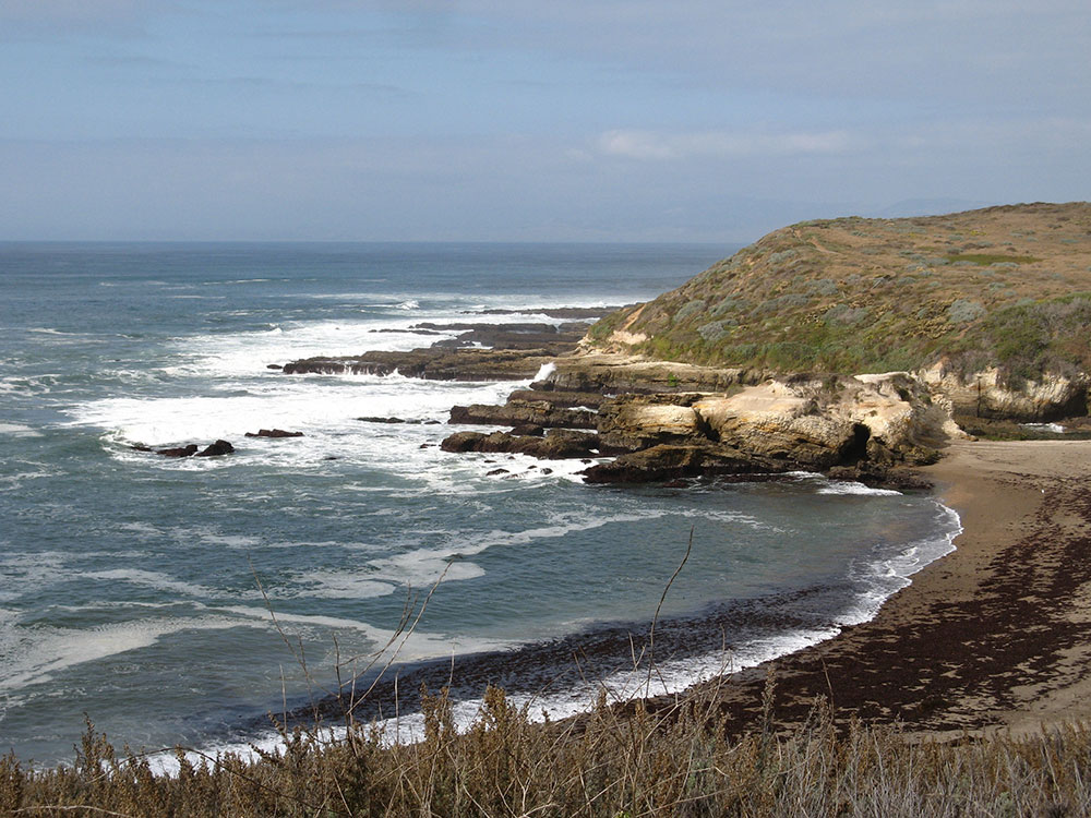
The Hazard Reef Trail offers a compact yet richly rewarding journey through one of the most intriguing coastal environments on California’s Central Coast. Beginning from a small day-use parking area, the trail descends gently into a coastal canyon before opening onto a windswept shoreline where waves pound against layered rock. Wooden steps and boardwalks help guide visitors through sandy terrain and seasonal wetlands, leading to a quiet stretch of rugged coastline where tide pools reveal a hidden world of marine life. Sea stars, hermit crabs, and anemones populate the shallow pools left behind by the retreating tide, making timing your visit with low tide especially worthwhile.
Despite its short distance, the trail captures an impressive cross-section of the surrounding landscape, from eucalyptus groves and shifting sand dunes to the rocky outcroppings of the reef itself. The area’s dynamic geology and ever-changing ocean conditions create a setting that feels both peaceful and untamed. Visitors can explore the shoreline, wander along adjacent dunes, or simply pause to take in views of the distant coastline and Morro Rock on clear days. This easily accessible route provides a quick but immersive introduction to the raw beauty and ecological diversity of the Central Coast.
This article uses material from the Wikipedia articles and official tourism pages for the Montaña de Oro State Park, which are released under the Creative Commons Attribution-Share-Alike License 3.0.