.jpg)
One of the principal entry routes to the John Muir Wilderness which protect the Sierra Nevada west of the divide between the Owens Valley on the east and the rivers which drain into the San Joaquin Valley to the west
Overview
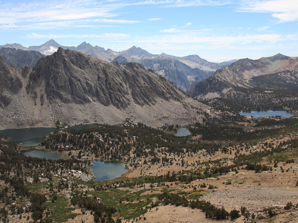
The Sierra Nevada mountains to the west lie within the John Muir Wilderness Area. Onion Valley, one of the principal entry routes to the John Muir Wilderness, is accessed via the Onion Valley road which heads directly west out of Independence. This trail takes hikers to Kings Canyon/ Sequoia National Parks which protect the Sierra Nevada west of the divide between the Owens Valley on the east and the rivers which drain into the San Joaquin Valley to the west.
Independence is a community in Inyo County, California. Independence is located 41 miles (66 km) south-southeast of Bishop, at an elevation of 3930 feet (1198 m). The small town of Independence is bisected by U.S. Route 395, the main north-south highway through the Owens Valley. Independence is a popular resupply location for hikers trekking the 2,650 mile long Pacific Crest Trail which extends from the Mexican border to Canada along the crest of the Sierra Nevada and Cascade Ranges. The highest pass along the entire trail, 13,153 foot (4009 m) Forester Pass, is directly west of Independence.
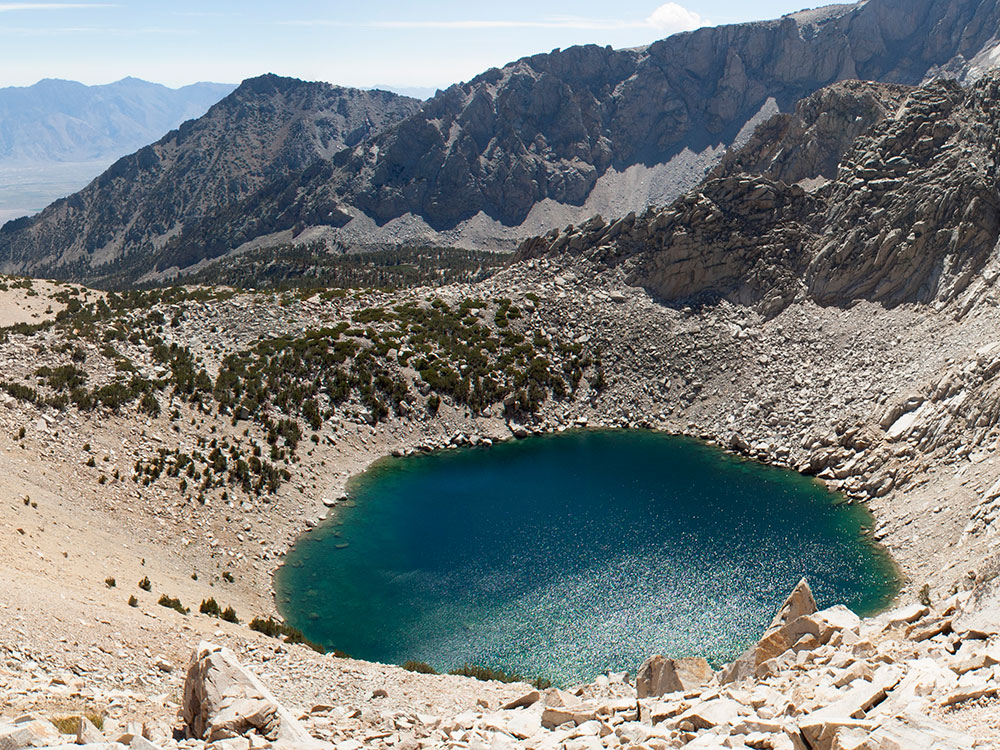
Kearsarge Pass lies on the Sierra Crest at 11,709 feet (3,569 m). The pass permits foot traffic between Kings Canyon National Park and the John Muir Wilderness. The pass was named after the Kearsarge mine to the east, which was named by its owners after the USS Kearsarge, the ship that destroyed the CSS Alabama. The Alabama Hills were named after the latter ship, and the mine was named in reaction. The first known crossing of Kearsarge Pass was in 1864.
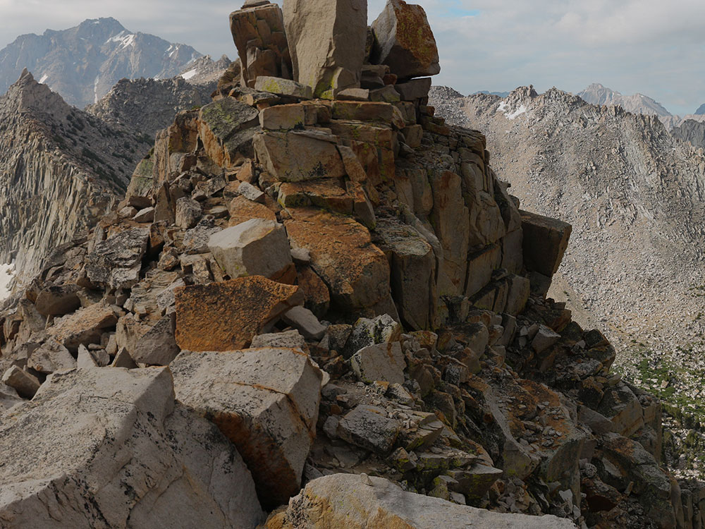
Kearsarge Peak
Kearsarge Peak is a 12,620-foot (3,847 m) mountain located less than two miles east of the crest of the Sierra Nevada mountain range. It is situated immediately northwest of Onion Valley. It is also 8.5 miles (13.7 km) west of Independence, and 2.1 miles (3.4 km) north-northwest of Independence Peak. Topographic relief is significant as the east aspect rises 5,250 feet (1,600 meters) above Onion Valley in two miles.
History
Kearsarge Peak, Kearsarge Pinnacles, Kearsarge Pass, and the Kearsarge Lakes were named after the Kearsarge mine on this peak's slope, which was named by its owners after the USS Kearsarge. In turn, the ship was named after Mount Kearsarge in New Hampshire.
The first ascent of the summit was made in 1925 by Norman Clyde, who is credited with 130 first ascents, most of which were in the Sierra Nevada. He was principal of the high school in Independence from 1924 to 1928, which provided him access to this peak near his home.
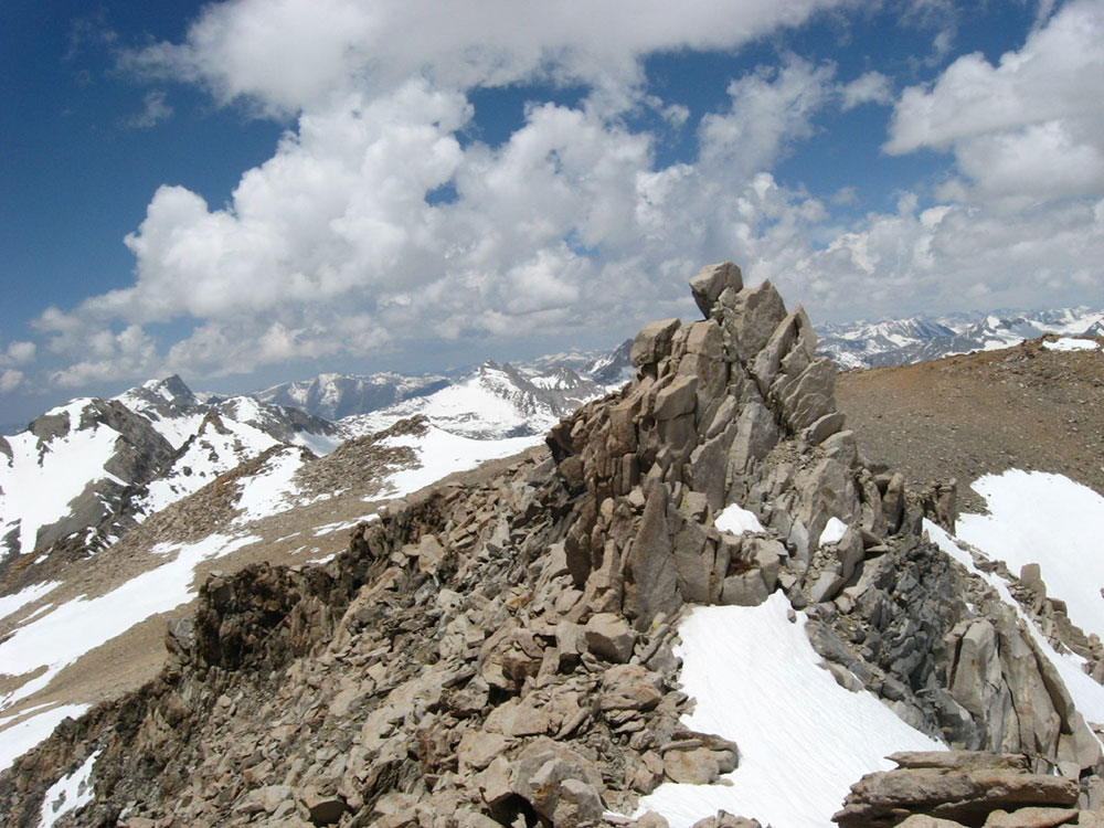
Mount Gould is a thirteener on the Sierra crest, just north of the Kearsarge Pass.
Mount Gould's north-south ridge straddles the boundary between Fresno County and Kings Canyon National Park to the west, and Inyo County and the John Muir Wilderness to the east. Its western slopes drain to the Kings River, and its eastern slopes feed the Owens River. Its nearest neighboring peaks are Dragon Peak to the north across Gould Pass, and Nameless Pyramid to the south across Kearsarge Pass.
The first recorded ascent was in 1890 by Joseph N. LeConte, Hubert P. Dyer, Fred S. Pheby, and C. B. Lakeman. They called it University Peak. They scrambled the talus of Gould's south ridge, and climbed the more solid rock of its summit block. This route, by way of the Kearsarge Pass Trail from the Onion Valley trailhead, remains the easiest and most accessible approach. In 1896, LeConte and a party climbed a higher peak, 2.4 miles (3.9 km) to the south, to which he transferred the name, University Peak. The next day he led a second climb of Mount Gould and named it for his companion, Wilson S. Gould.
This article uses material from the Wikipedia article "Independence, California", "Kearsarge Pass", "Kearsarge Peak", and "Mount Gould (California)", which is released under the Creative Commons Attribution-Share-Alike License 3.0.
 Dcrjsr, CC BY 3.0, via Wikimedia Commons ; Image Size Adjusted
-1000.jpg) Richard Ellis, CC BY-SA 3.0, via Wikimedia Commons ; Image Size Adjusted
Richard Ellis, CC BY-SA 3.0, via Wikimedia Commons ; Image Size Adjusted
_from_Kearsarge_Pass_Trail-1000.jpg) Pimlico27, CC BY-SA 4.0, via Wikimedia Commons ; Image Size Adjusted
Pimlico27, CC BY-SA 4.0, via Wikimedia Commons ; Image Size Adjusted_from_Kearsarge_Pass_Trail.jpg)