Located in the southeast corner of California, the Imperial Sand Dunes are the largest mass of sand dunes in the state
El Centro, CA, 38 miles
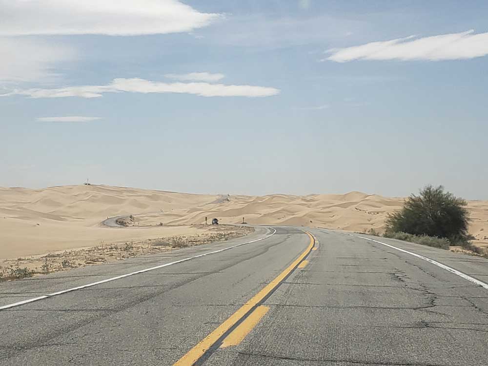
From San Diego (151 mi): Take I-8 E to E Evan Hewes Hwy/E Holton Rd in Imperial County. Take CA-115 N and CA-78 E to Osborne Park Rd.
Overview
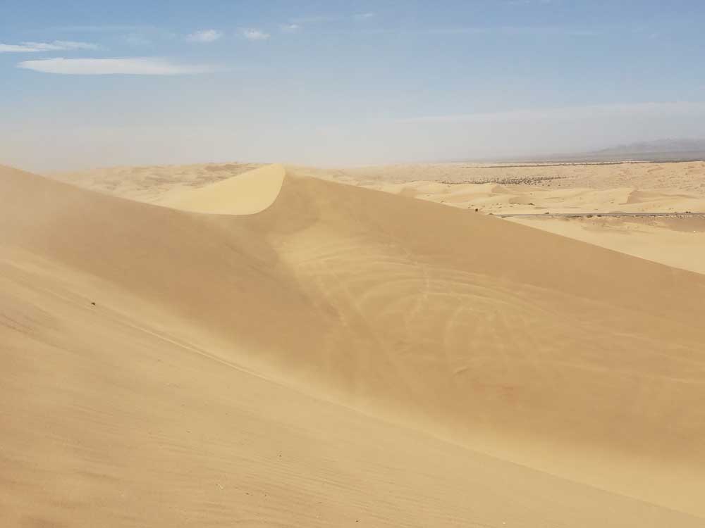
Formed by windblown sands of ancient Lake Cahuilla, the dune system extends for more than 40 miles in a band averaging 5 miles wide. Dunes often reach heights of 300 feet above the desert floor, providing outstanding opportunities for recreation. A favorite place for off-highway vehicle (OHV) enthusiasts, the dunes also offer fabulous scenery, opportunities for solitude, and a home to rare plants and animals.
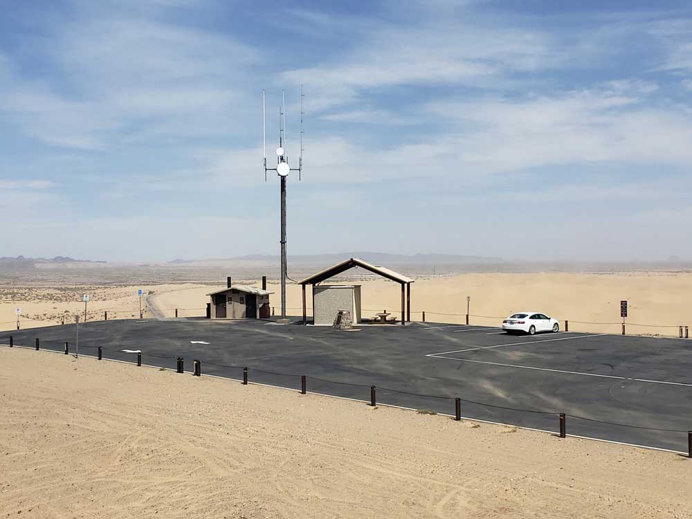
With most of the off-road action taking place in the recreation area south of Highway 78, the open areas allow all types of vehicle recreation. Limited areas surround the dunes require vehicles to travel on designated routes. Closed areas prohibit motorized vehicle use entirely. Information and maps for all of these areas are available at the ranger stations.
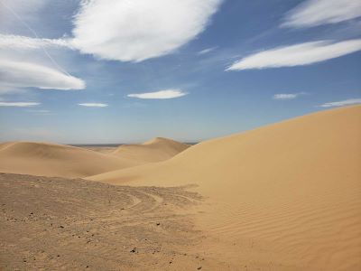
The North Algodones Dunes Wilderness offers a tranquil alternative to the fast-paced action of the main dunes. This wilderness encompasses more than 26,000 acres, with the largest and tallest dunes located in the central area. Visitors are welcome to walk or ride horses in this remote area. The wilderness is closed to all vehicles and mechanized use.
Additional Info
The Algodones Dunes is a large sand dune field located in the southeastern portion of the U.S. state of California, near the border with Arizona and the Mexican state of Baja California. The field is approximately 45 miles (72 km) long by 6 miles (9.7 km) wide and extends along a northwest-southeast line that correlates to the prevailing northerly and westerly wind directions. The name "Algodones Dunes" refers to the entire geographic feature, while the administrative designation for that portion managed by the Bureau of Land Management is the Imperial Sand Dunes Recreation Area (sometimes called the Glamis Dunes). In 1966, Imperial Sand Hills was designated as a National Natural Landmark by the National Park Service. The Algodones Dunes are split into many different sections. These sections include Glamis, Gordon's Well, Buttercup, Midway, and Patton's Valley. Although the Arabic-derived Spanish word algodones translates to "cotton plants", the origin of the toponym is unknown.
Location
The dunes are located west of the Chocolate Mountains in Imperial County, and are crossed by Interstate 8 and State Route 78, which passes through the old train stop of Glamis at the eastern edge of the dune field. The northwestern end is located about 11 miles (18 km) east of Calipatria, California, and the southeastern end is located at near Los Algodones in Mexico, about 6 miles (9.7 km) west of Yuma, Arizona. The dunes are also now separated at the southern end by agricultural land from the much more extensive Gran Desierto de Altar, to which they once were linked as an extreme peripheral "finger". The only significant human-made structures in the area are the All-American Canal that cuts across the southern portion from east to west and the Coachella Canal on the western edge.
This article uses material from the Wikipedia article "Algodones Dunes", which is released under the Creative Commons Attribution-Share-Alike License 3.0.