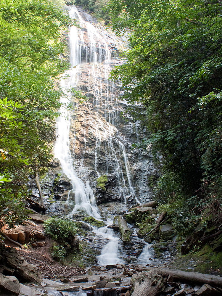
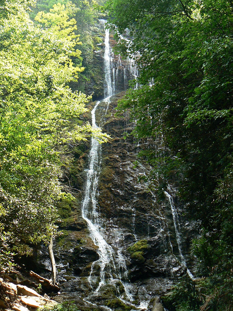
Tall cascading waterfall accessible by a short but steep forest trail that leads to a viewing bridge at the base of the falls.
General Information
Daylight hours are recommended for the safest hiking and best waterfall views
Free parking
How to Get There
From Cherokee, NC (5 mi):Mingo Falls Campground, and follow signs to the trailhead parking area beside the bridge.
Mingo Falls is a 120 ft (37 m) high waterfall located in the Qualla Boundary—a land trust of the Eastern Band of Cherokee Indians—near the town of Cherokee, Swain County, North Carolina in the Blue Ridge Mountains of the eastern United States. The waterfall is among the tallest in the southern Appalachians.
The official name of the falls originates from the Cherokee term Mingo which means Big Bear. The waterfall is also unofficially called Big Bear Falls.
Mingo Falls is located on Mingo Creek in the Lower Raven Fork watershed of the Blue Ridge Mountains, before it empties into the Oconaluftee River, in close proximity to the Blue Ridge Parkway and the east entrance to Great Smoky Mountains National Park. The nearest town is Cherokee in the Qualla Boundary land trust.
The Pigeon Creek Trail leads to Mingo Falls. The trailhead can be accessed from the National Park Service's Oconaluftee Visitor Center by driving south on US-441 toward the town of Cherokee, turning left at the second intersection onto Big Cove Road. Turn left again at the first stop sign and continue 4.5 miles (7.2 km) to Mingo Falls Campground where the trail begins. The trail is 0.4 miles (0.64 km) long and is considered moderately difficult.
This article uses material from the Wikipedia article "Mingo Falls", which is released under the Creative Commons Attribution-Share-Alike License 3.0
.jpg)