Trail leading to Laurel Falls, one of the most popular waterfalls in the national park, and to the summit of Cove Mountain and the Cove Mountain fire tower
General Information
Daylight hiking is strongly recommended
Note: The trail is currently closed for rehabilitation work through mid-2026
Great Smoky Mountains National Park parking tag required for vehicles parked longer than 15 minutes
How to Get There
From Gatlinburg, TN (4 mi): Take US-441 S from Gatlinburg into Great Smoky Mountains National Park, turn right onto Little River Road/Fighting Creek Gap Road, continue approximately 3.8 miles past Sugarlands Visitor Center, and arrive at the Laurel Falls Trailhead parking area on the right.
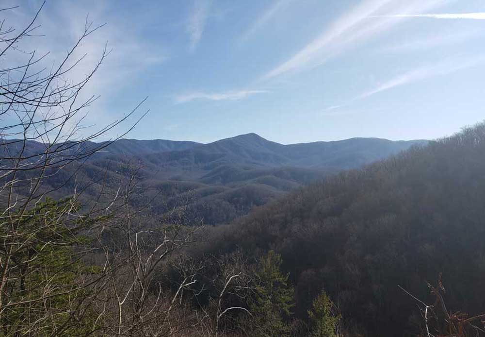
The Laurel Falls Trail is a hiking trail, in the Great Smoky Mountains National Park that ascends Cove Mountain (elev. 4,077 ft (1,243 m); 1,372 m), leading past Laurel Falls, one of the most popular waterfalls in the national park, en route to the summit of Cove Mountain and the Cove Mountain fire tower.
The Laurel Falls Trail is paved over the first 1.3 miles (2.1 km) of its course, where it runs just in front of Laurel Falls, the single most popular attraction via trail in the national park. The historic lookout tower at the end of the trail is generally not considered safe to climb. This tower used to be a fire tower, and is only one of four remaining former fire towers in the park.
The trailhead is located off Fighting Creek Gap Road inside the Great Smoky Mountains National Park, less than four miles (6 km) from the park headquarters at the Sugarlands Visitor Center.
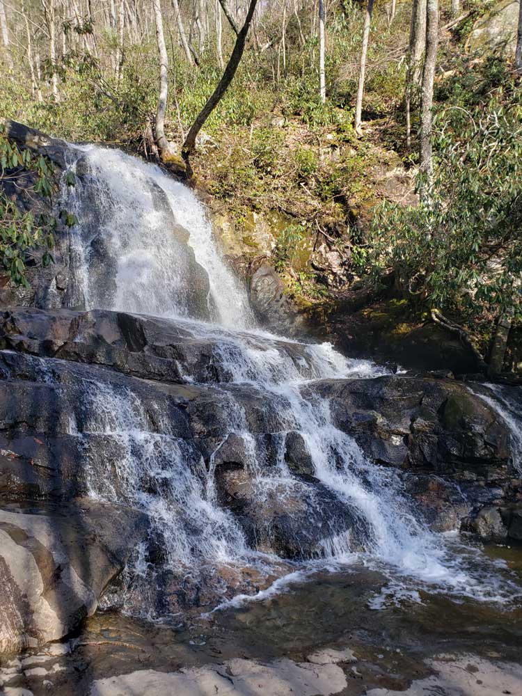
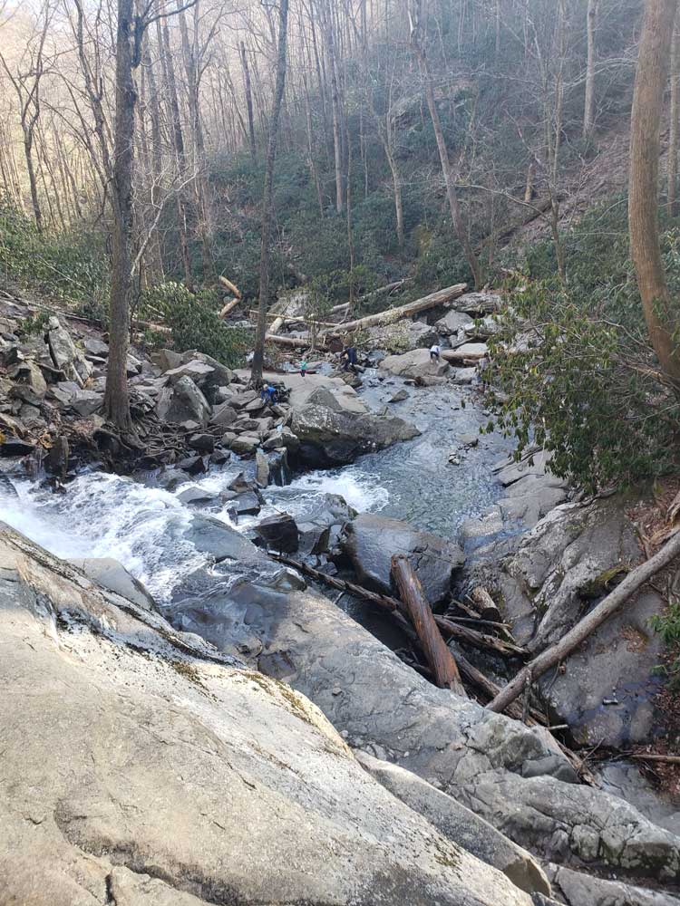
The Laurel Falls Trail is paved with a dark concrete, so as to prevent further erosion of the trailside. There are also wooden posts at every 0.1-mile (0.16 km), giving visitors who walk the 1.3 miles (2.1 km) to Laurel Falls an indicator of how far they have to go. The paved section of the path, while often very crowded, offers a nice, gentle walk in the woods, accessible to most children, and has been designated as a nature trail by the park service. The second-growth forest is decorated with a thick laurel thrush, for which the waterfall is named. Laurel Falls is an 80-foot (25m) multi-level waterfall. The trail crosses over the midsection of the waterfall via a bridge, as the gushing waterfall sprays mist overhead and dives into a narrow gorge below.
After Laurel Falls the trail continues on beyond the point where it is no longer paved. At the 3.1-mile (5.0 km) point, the trail comes to a junction with the Little Greenbrier Trail and continues on along the crest of the Chinquapin Ridge to the top of Cove Mountain. Here, the path comes to an old dirt road, which leads a few hundred yards to the Cove Mountain lookout tower. The tower once allowed visitors views into the surrounding mountainside of the Great Smoky Mountains but is no longer considered safe to mount. It is, however, one of only three remaining lookout towers in the park (not including the fire tower of Mount Cammerer), the other two being at Mount Sterling and Shuckstack. It is back on the main path here that the trail ends, at a junction with the Cove Mountain Trail, which leads back down to the Sugarlands Visitor Center and the park headquarters.
This article uses material from the Wikipedia article "Laurel Falls Trail", which is released under the Creative Commons Attribution-Share-Alike License 3.0