General Information
Overview
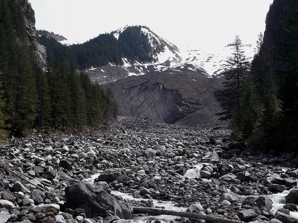
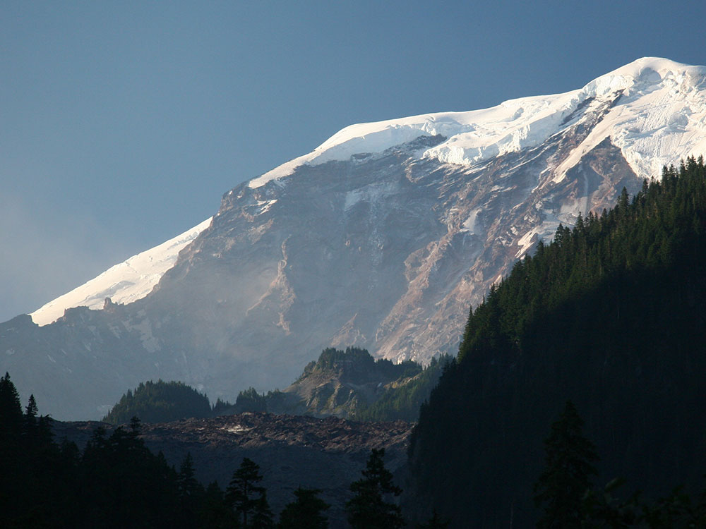
Carbon Glacier is located on the north slope of Mount Rainier and is the source of the Carbon River. The snout at the glacier terminal moraine is at about 3,500 feet (1,100 m) above sea level, making it the lowest-elevation glacier in the contiguous United States. The glacier also has the greatest length (5.7 miles (9.2 km)), thickness (700 ft (210 m)) and volume (0.2 cubic miles (0.83 km3)) of any U.S. glacier outside of Alaska.
Carbon Glacier is accessible from the northwest Carbon River entrance of Mount Rainier National Park, just outside the town of Carbonado, Washington. The glacier is accessible on foot via an 8-mile (13 km) hike from the Carbon River entrance of Mt. Rainier National Park.
This article uses material from the Wikipedia article "Carbon Glacier", which is released under the Creative Commons Attribution-Share-Alike License 3.0