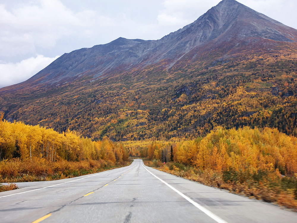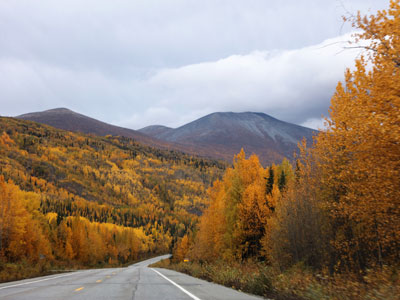

A scenic mountain highway featuring expansive wilderness views, glacial valleys, rivers, and access to remote communities and outdoor recreation.
General Information
How to Get There
From Anchorage (180 mi): Take Glenn Hwy (AK-1 E) to Glennallen, then merge onto Richardson Hwy (AK-4 N or S) where the route continues through interior Alaska toward Fairbanks or Valdez.
Overview
The Richardson Highway (Alaska Route 4 and 2) is a 368-mile road from Valdez to Fairbanks, Alaska's first highway. It started as a gold rush pack trail from Valdez to Eagle in 1898, and became a wagon road and then a highway after the Fairbanks strike of 1902. It follows the Trans-Alaska Pipeline, with views of the Chugach Mountains, glaciers, Thompson Pass, and the Alaska Range.
Highlights
- Thompson Pass: the snowiest spot in Alaska, and Worthington Glacier
- Valdez: the pipeline terminal, and the start of the road
- Copper Center and Glennallen: historic roadhouses and a Wrangell-St. Elias visitor center
- Delta Junction: the end of the Alaska Highway
Things to Do
Drive One of Alaska's Most Scenic Highways
The Richardson Highway stretches between Valdez and Fairbanks and is Alaska's oldest highway. Originally established during the gold rush era, the route passes through diverse landscapes including mountain ranges, glaciers, river valleys, alpine tundra, and historic communities. Many travelers consider it one of the state's premier road trips.
Visit Worthington Glacier
Worthington Glacier is one of the most accessible glaciers in Alaska and one of the highway's most popular attractions. Located near Thompson Pass, the glacier can be viewed from paved walking paths and overlooks that provide close-up views of the ice and surrounding mountains.
Explore Keystone Canyon
Keystone Canyon features dramatic cliffs, waterfalls, and fascinating history. The canyon is home to two of the region's most famous waterfalls, Bridal Veil Falls and Horsetail Falls, both easily viewed from roadside pullouts along the highway.
Experience Thompson Pass
Thompson Pass offers breathtaking alpine scenery and serves as a gateway between the Copper River Basin and coastal Alaska. The area is known for dramatic mountain views, recreational opportunities, and some of the state's most impressive winter snowfall.
Learn About the Gold Rush Era
The Richardson Highway began as a gold rush trail in 1898 before evolving into a wagon road and eventually a modern highway. Along the route, visitors can discover historic communities, museums, and interpretive sites connected to Alaska's mining and transportation history.
View the Trans-Alaska Pipeline
Several sections of the highway run near the Trans-Alaska Pipeline System. Designated viewing areas provide opportunities to see one of the world's most famous engineering projects while learning about its construction and operation.
Access Outdoor Adventures
The Richardson Highway serves as a gateway to numerous recreation opportunities including hiking, fishing, rafting, camping, wildlife viewing, glacier exploration, and visits to Wrangell-St. Elias National Park & Preserve and Prince William Sound.
Top Trails
Worthington Glacier Trail
Length: Short paved walking paths
Elevation Gain: Minimal
Difficulty: Easy
Accessible pathways at Worthington Glacier State Recreation Site allow visitors to approach viewpoints overlooking one of Alaska's most accessible glaciers while learning about glacial geology through interpretive displays.
Goat Trail
Length: Approximately 1.6 miles round trip
Elevation Gain: Moderate
Difficulty: Moderate
Located in Keystone Canyon, this historic trail climbs above Bridal Veil Falls and provides outstanding views of the waterfall, canyon walls, and surrounding mountain scenery.
Old Valdez Townsite Trail
Length: Approximately 1.7 miles
Elevation Gain: Minimal
Difficulty: Easy
This self-guided trail explores the original townsite of Valdez, which was abandoned following the 1964 Good Friday earthquake. Interpretive information highlights the community's history and the impact of the disaster.
Blueberry Lake Area Trails
Length: Varies
Elevation Gain: Varies
Difficulty: Easy to Moderate
Near Thompson Pass, visitors can enjoy short walks and informal trails around Blueberry Lake, offering mountain views, seasonal wildflowers, and colorful autumn foliage.
This article uses material from the Wikipedia article and official pages for Alaska DOT - Richardson Highway Scenic Byway, Discover Valdez - Richardson Highway, Richardson Highway, released under the Creative Commons Attribution-Share-Alike License 3.0.