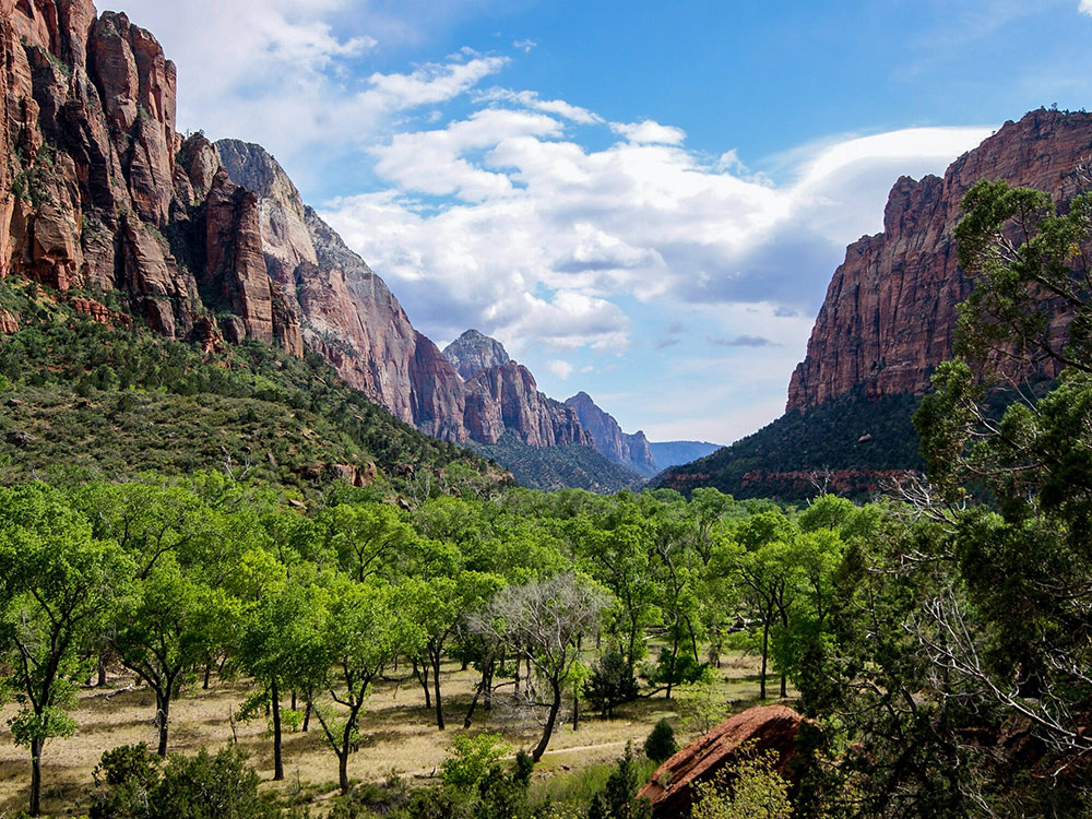
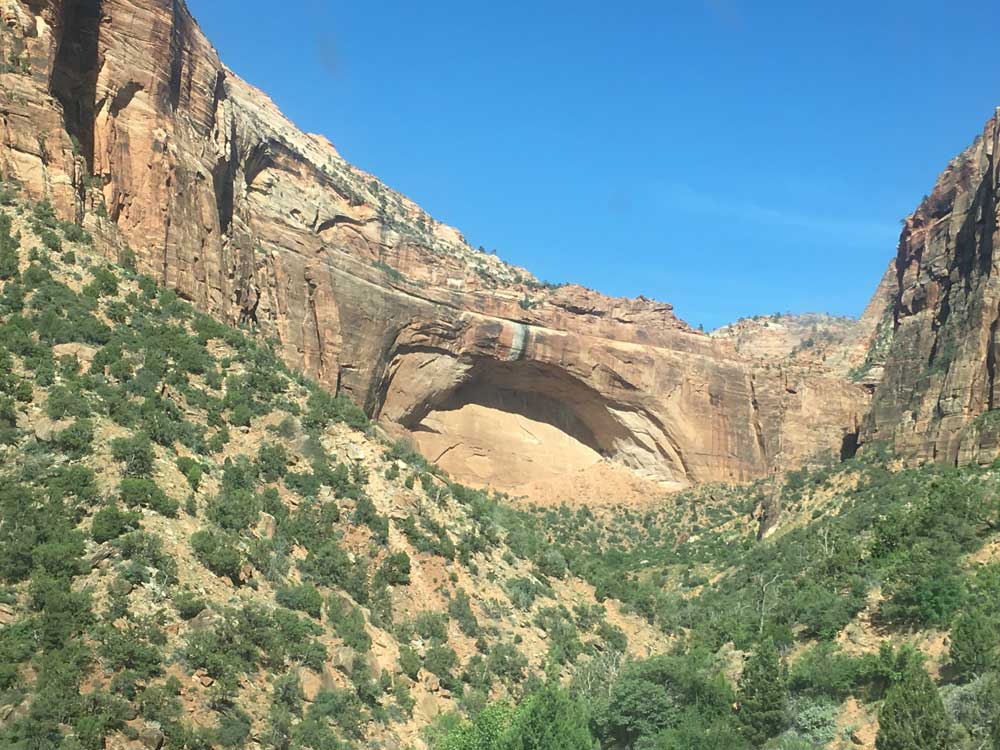
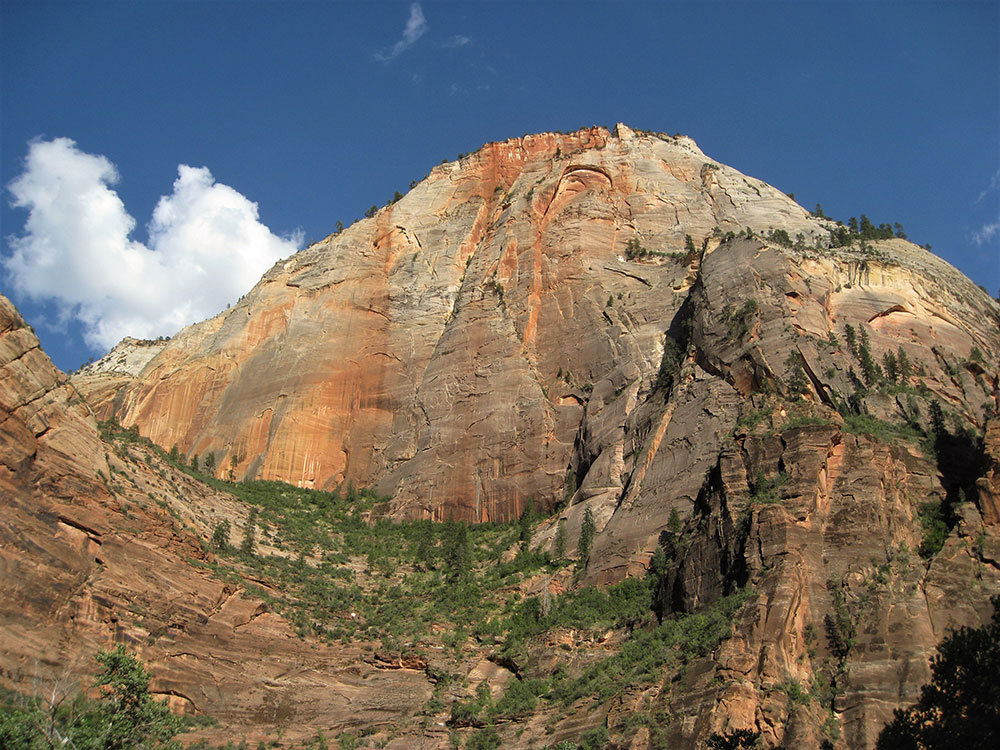
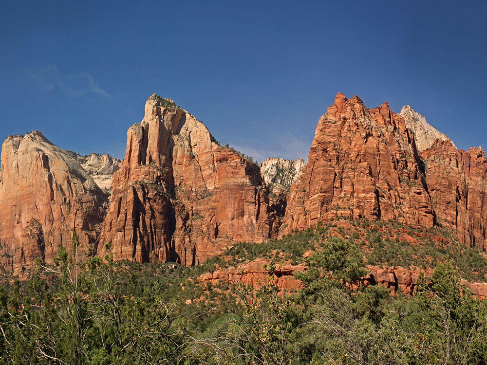
A long desert hiking route traversing high sandstone plateaus, pine forests, and dramatic canyon overlooks with sweeping views of rugged cliffs and deep valleys.
Motorcycle: $30 (7-day pass)
Individual (walk/bike): $20 per person (7-day pass)
How to Get There
From Springdale (5 mi): Drive east on UT-9 through the park entrance and continue along the Zion-Mount Carmel Highway to the east entrance area, then turn into the East Entrance Trailhead parking area just west of the entrance station.
Overview
The East Rim Trail offers one of the most expansive and less crowded journeys through Zion’s dramatic backcountry, guiding hikers across elevated slickrock mesas, quiet ponderosa pine forests, and sweeping canyon rims. Beginning near the park’s eastern boundary, the path gradually ascends through sandy washes and sculpted sandstone before opening to panoramic views of formations like Checkerboard Mesa and the vast Echo Canyon basin. The trail’s varied terrain showcases the region’s geological diversity, from wind-carved cliffs to narrow canyon passages, creating a constantly evolving landscape that rewards persistence with breathtaking vistas.
As the route continues, it traverses a high plateau before descending steeply toward the canyon floor, revealing iconic landmarks such as Angels Landing and the Great White Throne in the distance. This demanding trek, typically completed as a one-way hike with a shuttle, challenges visitors with length and elevation changes but delivers a quieter alternative to busier routes. Seasonal shifts dramatically alter the experience—spring brings wildflowers and mild temperatures, while fall offers crisp air and golden hues—making it a memorable adventure for those seeking solitude and sweeping desert scenery.
This article uses material from the Wikipedia articles and official tourism pages for the East Rim Trail, which are released under the Creative Commons Attribution-Share-Alike License 3.0.