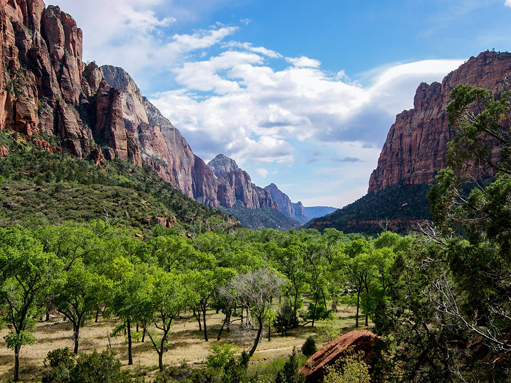
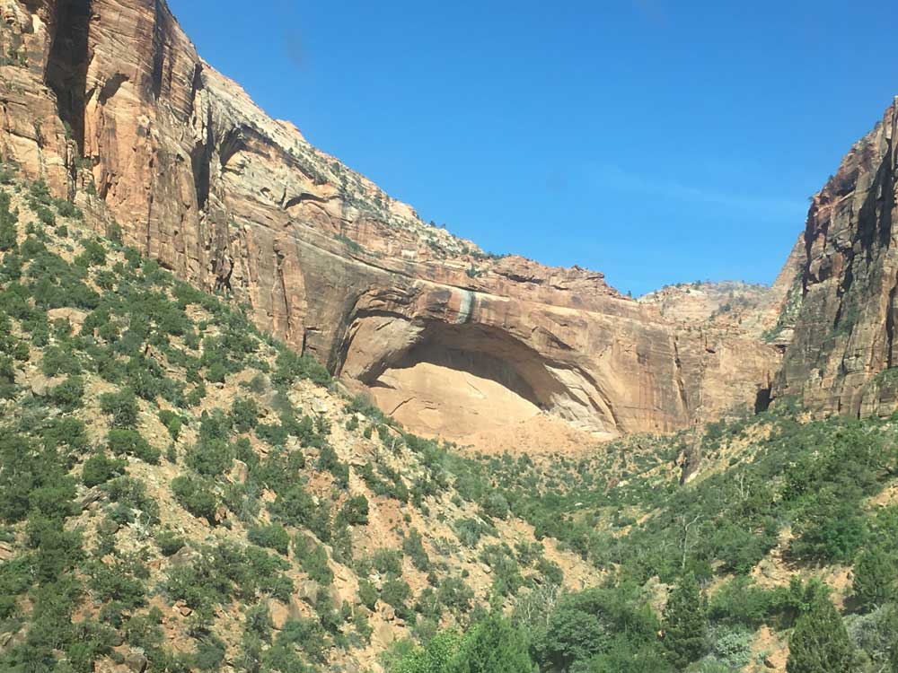
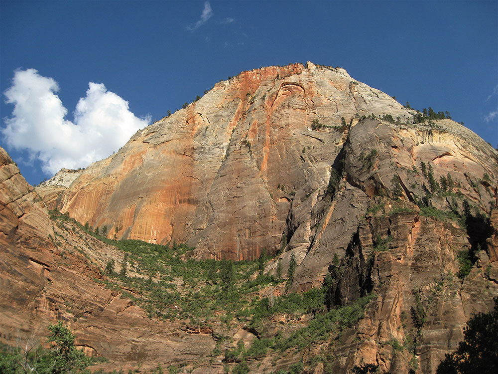
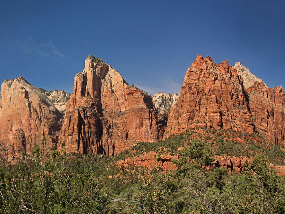
A high plateau hike leading to a remote cliff-edge overlook with expansive panoramic views across deep canyons, towering sandstone formations, and rugged desert terrain.
Motorcycle: $30 (7-day pass)
Individual (walk/bike): $20 per person (7-day pass)
How to Get There
From Springdale (12 mi): Drive east on UT-9 through the park toward the east entrance, then turn onto North Fork County Road toward Zion Ponderosa Ranch and follow the dirt road to the Stave Spring Trailhead where the hike begins.
Overview
The Deertrap Mountain trail offers a quieter alternative to Zion’s more crowded viewpoints, guiding hikers across a forested plateau before revealing a dramatic overlook high above the canyon below. The route winds through ponderosa pine groves and gently rolling terrain, gradually building toward the exposed rim where sheer cliffs plunge thousands of feet to the valley floor. Along the way, the landscape transitions from shaded woodland to open slickrock, giving visitors a diverse hiking experience that culminates in sweeping views of iconic formations spread across the horizon.
At the overlook, hikers are rewarded with an uninterrupted panorama that includes landmarks such as Angels Landing, the Great White Throne, and the winding canyon carved by the Virgin River far below. The remoteness of the trail keeps crowds low, making it an ideal destination for those seeking solitude and expansive scenery. Seasonal conditions influence the journey, with spring and fall offering the most comfortable temperatures, while summer remains manageable at elevation and winter access is often limited due to snow on backcountry roads.
This article uses material from the Wikipedia articles and official tourism pages for the Deertrap Mountain, which are released under the /licenses/by-sa/3.0/">Creative Commons Attribution-Share-Alike License 3.0.