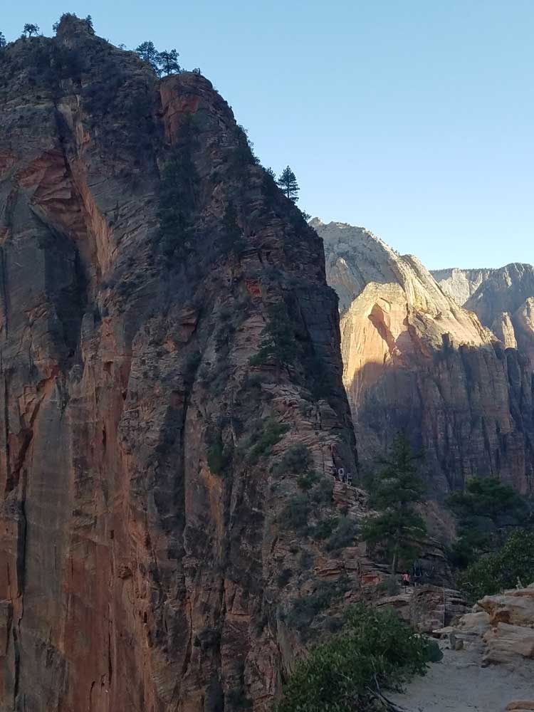
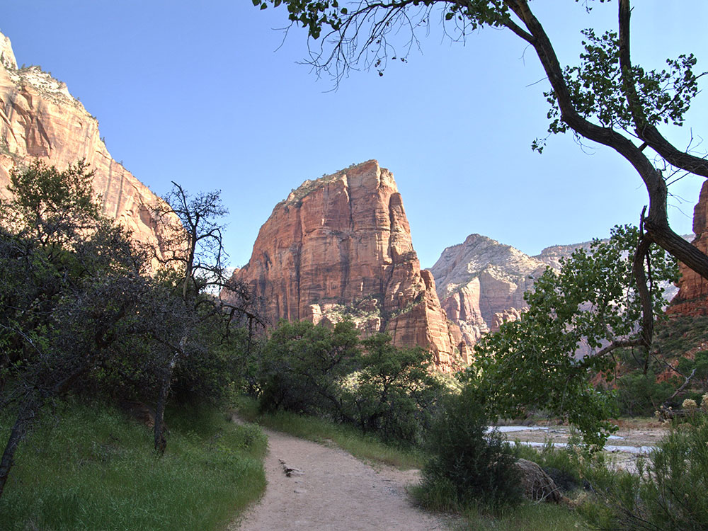
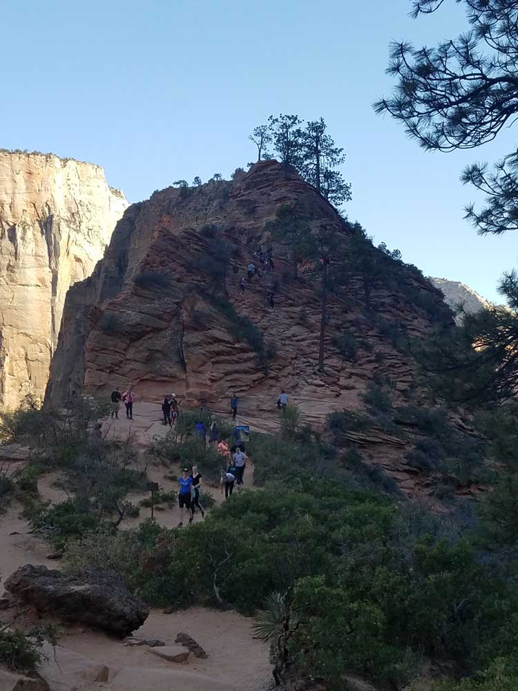
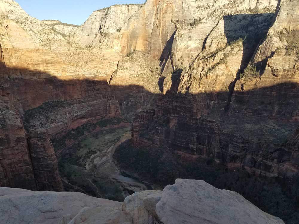
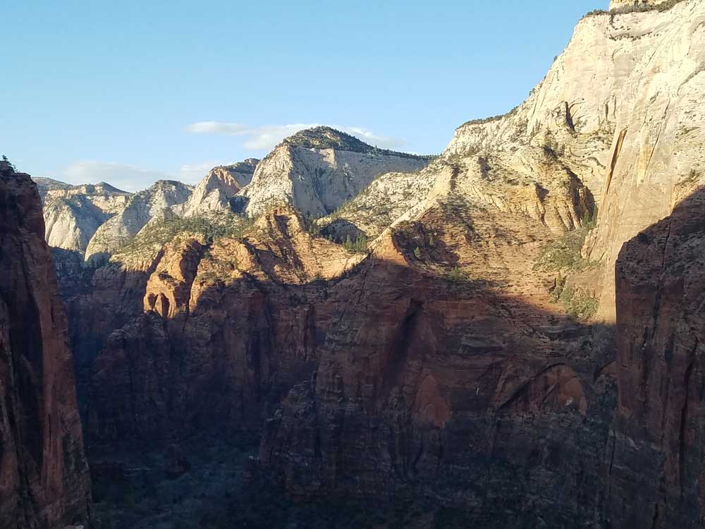
Trail cut into 1,488-foot (454 m) tall rock formation in 1926 leads to the top of Angels Landing and provides views of Zion Canyon
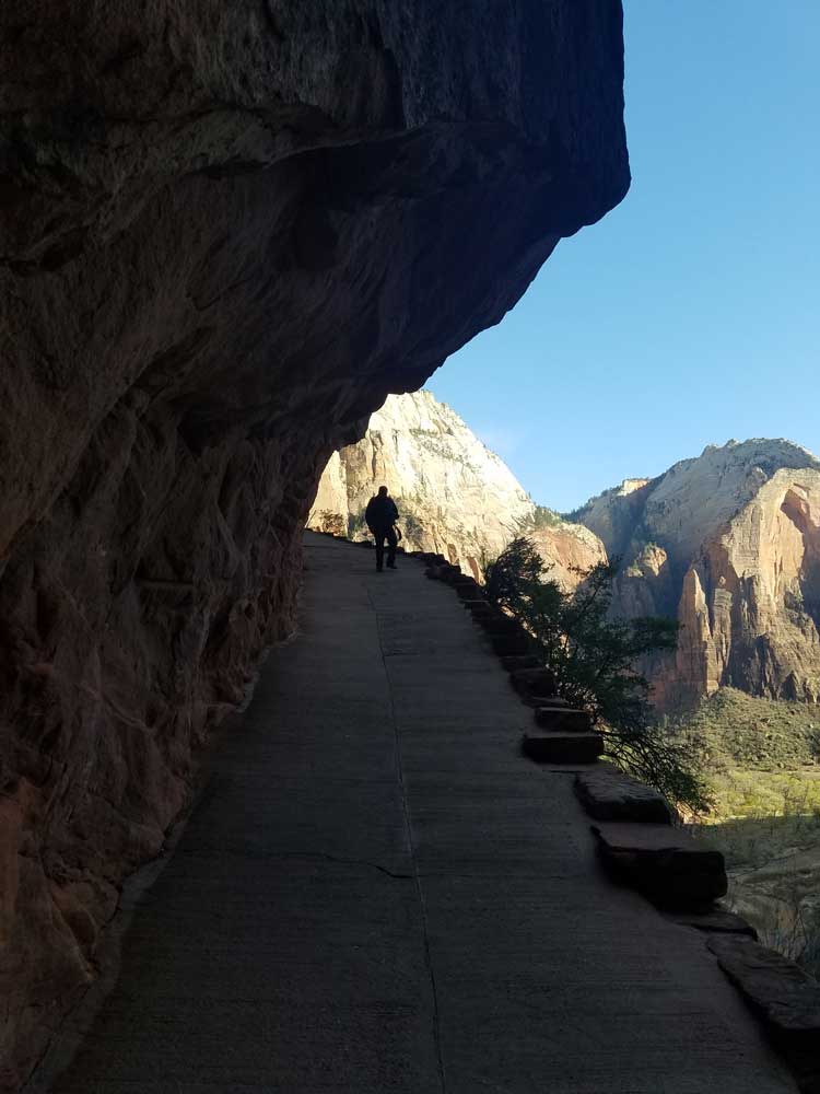
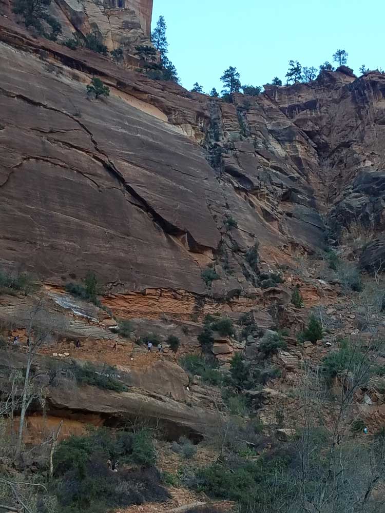
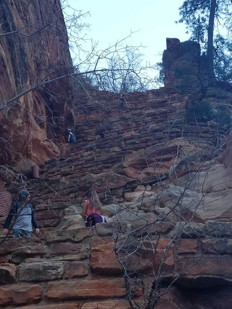
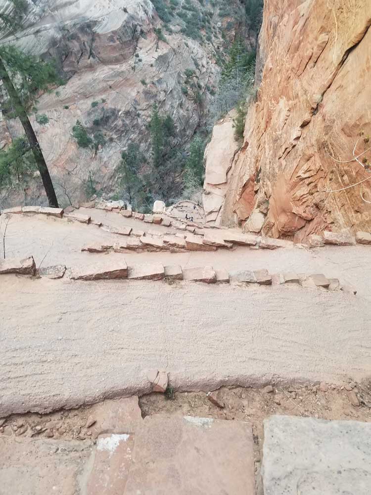
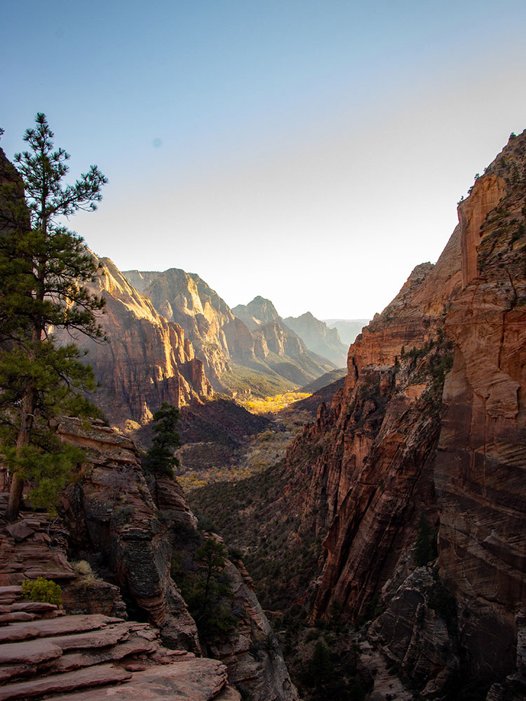
The trail to Angels Landing is 2.5 miles (4.0 km) long with an approximate 1,500 feet (460 m) elevation gain. The hike is rated as a class 3 difficulty based on the Yosemite Decimal System. It begins at the Grotto drop off point on the park's shuttle system, which operates from early spring through late fall. It roughly follows the path of the Virgin River for some time along the West Rim Trail, slowly gaining elevation in sandy terrain. Most of the trail is uphill on the way up to Angels Landing. As the trail gets steeper and leaves behind the river, it becomes paved. After a series of steep switchbacks, the trail goes through the area between Angels Landing and the Zion Canyon that is a gradual ascent. Walter's Wiggles, a series of 21 steep switchbacks, are the last hurdle before Scout Lookout. The wiggles are named after Walter Ruesch, who was the first superintendent for Zion National Park and constructed the switchbacks in 1926.
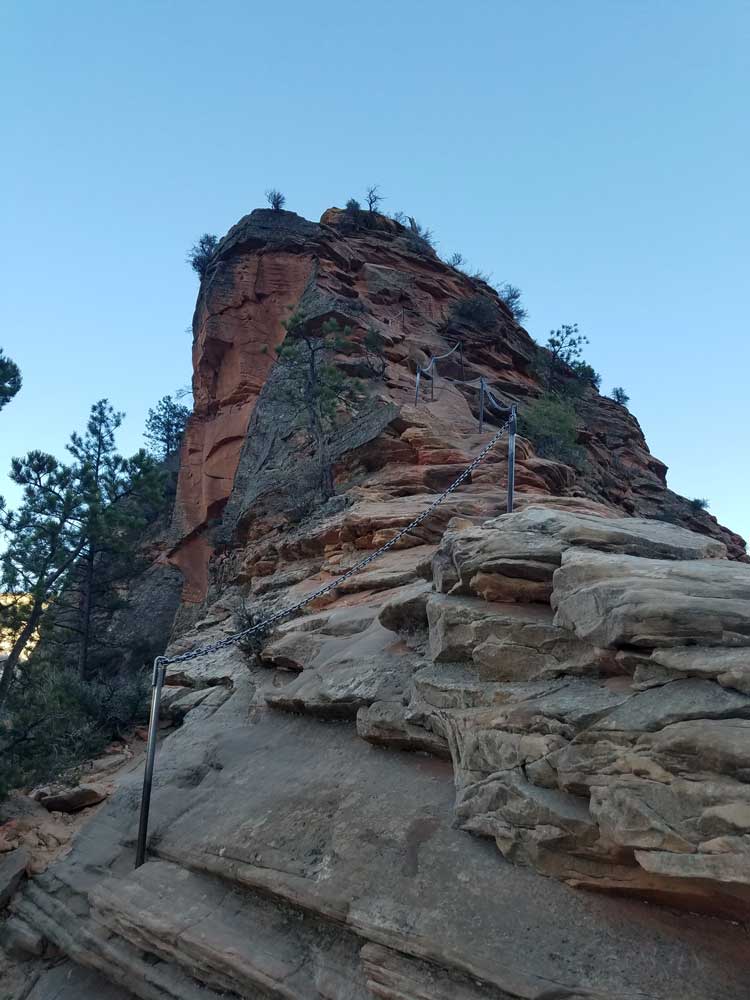
Scout Lookout is generally the turnaround point for those who are unwilling to make the final summit push to the top of Angels Landing. The last half-mile of the trail is strenuous and lined with numerous sharp drop offs and narrow paths. Chains to grip are provided for portions of the last half-mile to the top at 5,790 feet (1,760 m).
The half-mile section up the spine, the Angels Landing Trail-West Rim Trail, was listed in the National Register of Historic Places in 1987.
This article uses material from the Wikipedia article "Angels Landing", which is released under the Creative Commons Attribution-Share-Alike License 3.0