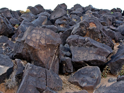

Monument protecting a variety of cultural and natural resources including five volcanic cones, hundreds of archeological sites and an estimated 24,000 images carved by Ancestral Pueblo peoples and early Spanish settlers
General Information
Open year-round
How to Get There
From Las Cruces (15 mi or less): Take University Ave or US‑70 east, then follow Dripping Springs Road or Baylor Canyon Road to access trailheads and visitor areas within the monument.
Overview
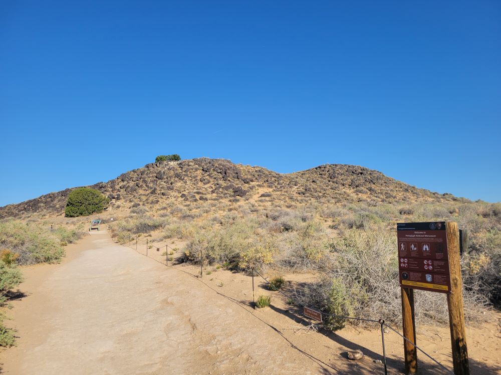
Petroglyph National Monument stretches 17 miles along Albuquerque's West Mesa, protecting 7,236 acres and about 25,000 images carved into the volcanic basalt boulders by Ancestral Puebloans and Spanish settlers, from about 1300 to 1700. It was created in 1990, and it is managed with the city of Albuquerque and Native communities. Trails wind through the boulders at Boca Negra Canyon (paved, easy), Rinconada Canyon (2.2 miles), and Piedras Marcadas Canyon.
Hike Rinconada Canyon Loop
This 2.2‑mile loop trail is one of the best hikes in the monument, offering views of up to 300 petroglyphs scattered along the canyon walls. The trail is relatively easy and provides a quieter, more immersive experience compared to the shorter developed areas.
Explore Piedras Marcadas Canyon
This roughly 1.5‑mile out-and-back trail features one of the highest concentrations of petroglyphs, with around 400 carvings visible along the route. It’s less developed than Boca Negra and offers a more natural desert hiking experience.
Visit the Volcanoes Day Use Area
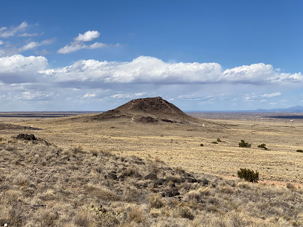
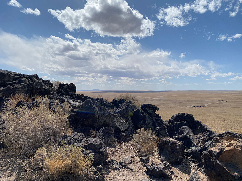
In addition to petroglyphs, the monument includes dormant volcanic cones formed over 100,000 years ago. Visitors can hike trails around the volcanoes for panoramic views of Albuquerque and the surrounding desert landscape.
See Thousands of Ancient Petroglyphs
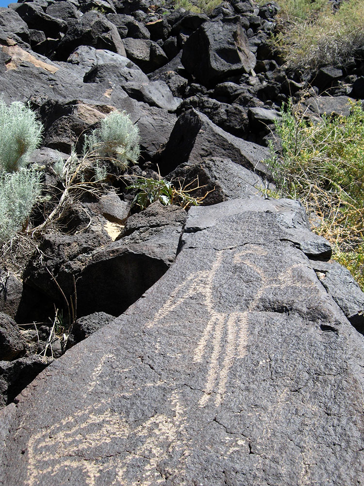
The monument preserves over 20,000–24,000 petroglyphs carved into volcanic rock by ancestral Pueblo peoples and later Spanish settlers. These images include animals, people, symbols, and geometric shapes that reflect centuries of cultural history.
Learn About History at the Visitor Center
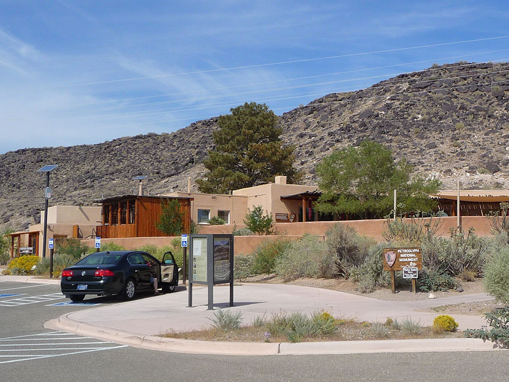
Start your visit at the Visitor Center to understand the cultural and spiritual significance of the petroglyphs. Exhibits and ranger information provide context about the Native American cultures and Spanish influences that shaped the site.
Geologic history
Approximately 200,000 years ago, six volcanic eruptions created a 17-mile-long (27 km) cliff containing thick basalt layers of rock and cooled lava. When the volcanoes erupted, molten lava ranging in depth from 5 to 50 feet flowed downhill using old water ways, called arroyos, which eventually formed triangular, peninsula shaped channels that flowed around hills. The hills have long since eroded away over time, while the stronger basalt rocks remained, which eventually cracked and formed canyons and escarpments. As time progressed, more eruptions occurred and thicker lava cooled to form the now-extinct volcanic cones to the west of the monument; these cones can be seen from the top of the mesa. This unique formation of the landscape is called reverse topography.
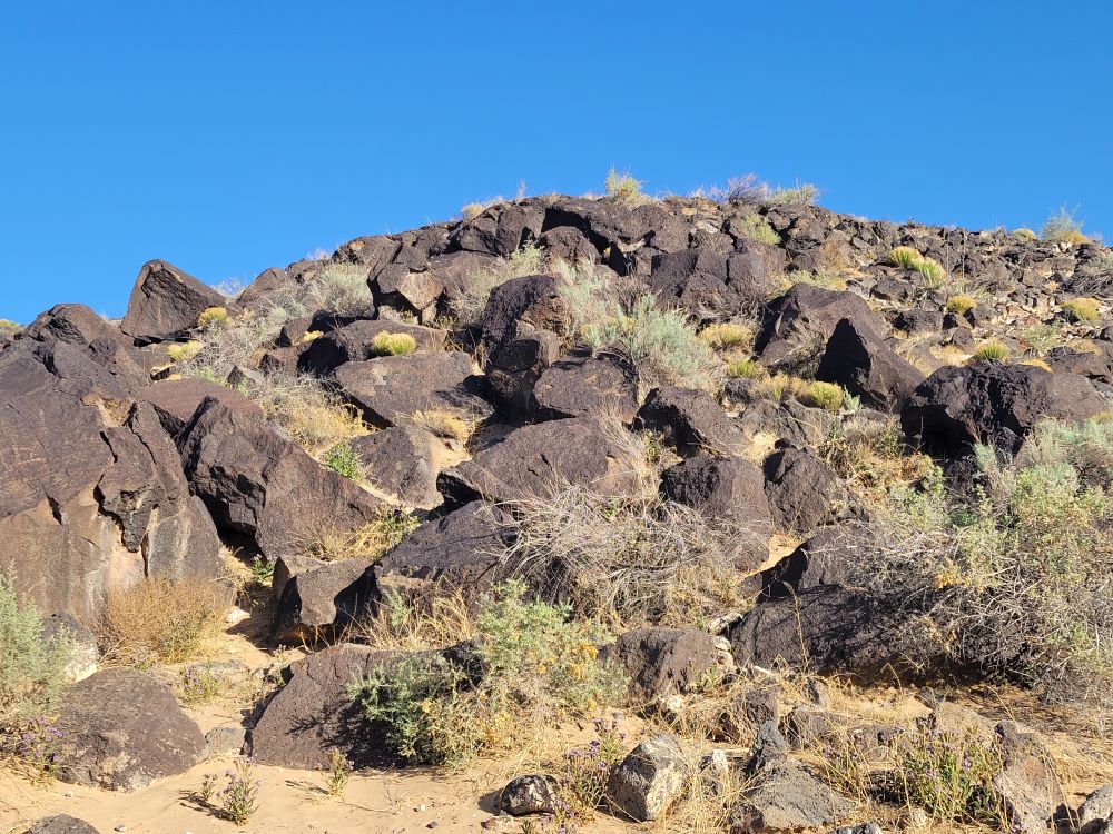
The basalt rocks' geologic nature allows for the creation of the petroglyphs, or rock carvings, on their surface. The rocks contain high concentrations of iron, manganese and calcium; this combination creates rocks of a gray-like color. However, over thousands of years of exposure to the desert's rough environment, a "desert varnish" forms on the surface. The varnish is formed from the oxidization, or rusting, of the manganese and iron when mixed with oxygen in the air and water from rain; this varnish is dark, almost-black and glossy in appearance. Long ago, Native Americans, as well as Spanish settlers discovered that images can be created on the faces of the rocks by chipping away at this layer using rocks and other tools.
Cultural history and significance
The petroglyph images within the monument hold deep cultural significance to Pueblo peoples and neighboring Native peoples. This rock art has complex and varied meanings.
Archaeologists have dated some carvings, primarily those in the Boca Negra Canyon area, as far back as 3,000 years ago. The relative age is determined based on the darkness of the image, its context, and its comparison to other works of the same age. It is estimated that about 90 percent of the petroglyphs were created during the period between AD 1300 until the end of the 17th century because of the "Southwestern Style" used. At this time, the Native population was increasing quickly and Pueblo adobe villages were being built along the Rio Grande River and at the base of the Sandia Mountains.
This article uses material from the Wikipedia article and official pages for Petroglyph National Monument, AllTrails Guide, Albuquerque Travel Guide, Western National Parks Guide, Petroglyph Travel Guide, released under the Creative Commons Attribution-Share-Alike License 3.0.
Featured Trails
#Placeholder, #License, via Wikimedia Commons; Image Size Adjusted
Boca Negra Canyon Trails
Difficulty: Easy
Short and accessible trails with dense concentrations of petroglyphs, great for quick visits and families
#Placeholder, #License, via Wikimedia Commons; Image Size Adjusted
Rinconada Canyon Loop
Difficulty: Easy
Scenic canyon loop with hundreds of petroglyphs and a quiet desert hiking experience
#Placeholder, #License, via Wikimedia Commons; Image Size Adjusted
Piedras Marcadas Canyon Trail
Difficulty: Easy
Out-and-back trail with one of the highest concentrations of petroglyphs in a natural desert setting
#Placeholder, #License, via Wikimedia Commons; Image Size Adjusted
Volcanoes Trail
Difficulty: Moderate
Loop trail around dormant volcanic cones with wide desert views and unique geological features