
State park consisting of large sculptured rock formations in the shape of pinnacles or boulders rising as high as 40 feet
General Information
Open year-round
Visitor Center hours vary seasonally
Camping: $15–$30 per night depending on site type
Annual New Mexico State Parks pass accepted
How to Get There
From Deming (30 mi): Take US-180 W from Deming toward Silver City for about 25 miles, then turn right onto NM-61 and follow the signs for approximately 4 miles to the park entrance.
Overview
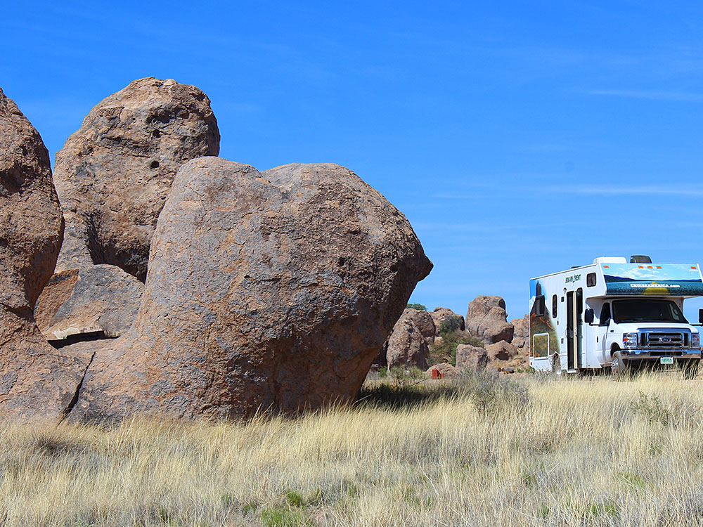
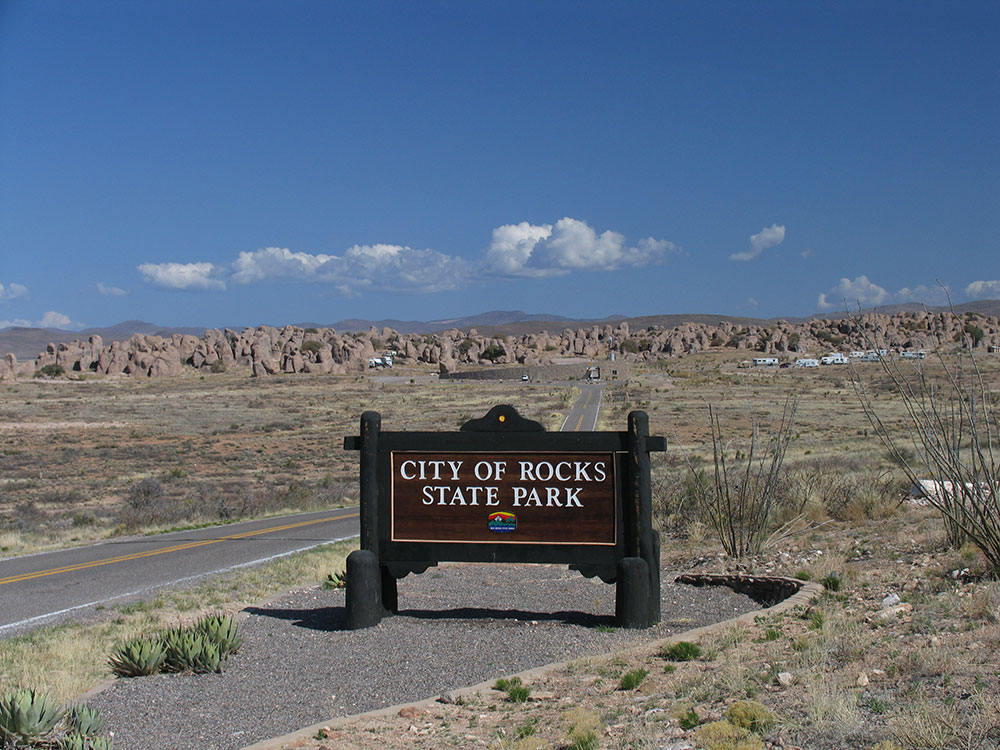
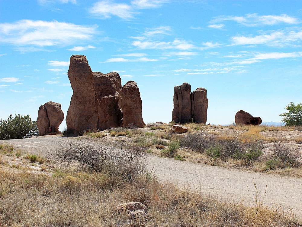
City of Rocks State Park consists of large sculptured rock formations in the shape of pinnacles or boulders rising as high as 40 feet (12 m).
The bedrock forming City of Rocks was created 34.9 million years ago by a volcanic eruption. Then over millions of years, erosion sculpted the rock formations seen today. The eruption was from the Emory Caldera, centered near Hillsboro Peak at the southern end of the Black Range. The eruption was estimated to be a VEI 8 eruption, and it emplaced the Kneeling Nun Tuff, a tuff bed covering an area of 314-square-mile (810 km2), which makes up the bedrock of the park.
History
The Mimbreno Indians settled in the area from 750 to 1250 AD. Pottery, arrowheads, and other artifacts show evidence of prehistoric Indians in the area. Indian wells, or conical holes, are found in the rocks where water would be allowed to collect.
Chapter 110 of the 1953 Laws of New Mexico created City of Rocks State Park on March 20, 1953. This legislation provided for the lease of 640 acres (2.6 km2) of land from the Commissioner of Public Lands, New Mexico State Land Office for the purpose of a State Park and recreation area.
Features
City of Rocks State Park provides opportunities for walks, hiking, camping, rock climbing, picnicking, wildlife viewing, and dark night-sky viewing (including a 14-inch (36 cm) telescope). Other features of the park include hiking trails, picnic areas and a desert botanical garden. The visitor center includes a large display area, books, maps, and information.
The park is open all year. Nearby are the communities of Silver City and Deming. Facilities include electrical and water hookups for camping, with restrooms and hot showers.
Trails Overview
City of Rocks Trail
Length: ~6.4 miles
Elevation Gain: ~500 ft
Difficulty: Moderate
Highlights: Longest trail in the park that loops through and around the rock formations, offering expansive desert views and a comprehensive look at the volcanic “stone city.”
Table Mountain Trail
Length: ~2–3 miles
Difficulty: Moderate
Highlights: Climbs to elevated viewpoints with sweeping panoramic views of surrounding mountain ranges and open desert landscapes.
Cienega Trail
Length: ~1–2 miles loop
Difficulty: Easy to Moderate
Highlights: Passes through a transition zone of desert and wetland vegetation, offering opportunities to observe plants and wildlife.
Desert Botanical Garden Trail
Length: ~0.5–1 mile
Difficulty: Easy
Highlights: Short interpretive path showcasing native desert plants such as cacti and agave with educational signage about the ecosystem.
Rock Formations Exploration Paths
Length: Variable
Difficulty: Easy to Moderate
Highlights: Informal paths weaving through towering rock pinnacles, allowing visitors to explore narrow passages, climb formations, and experience the park’s maze-like terrain.
Mountain Bike Routes
Length: Varies
Difficulty: Easy to Moderate
Highlights: Routes along park roads and designated paths that provide a scenic ride through desert terrain with views of the rock formations.
This article uses material from the Wikipedia article "City of Rocks State Park", which is released under the Creative Commons Attribution-Share-Alike License 3.0