Alpine forested retreat in the Mojave Desert offering hiking, skiing, camping, and scenic drives across dramatically changing elevations and seasons.
General Information
Visitor Gateway: 9am to 4pm (hours may vary seasonally)
Picnic areas and campgrounds may charge day-use or overnight fees
How to Get There
From Las Vegas (40 mi): Take US-95 N to Kyle Canyon Rd (NV-157) or Lee Canyon Rd (NV-156) and follow signs into the Spring Mountains National Recreation Area.
Overview
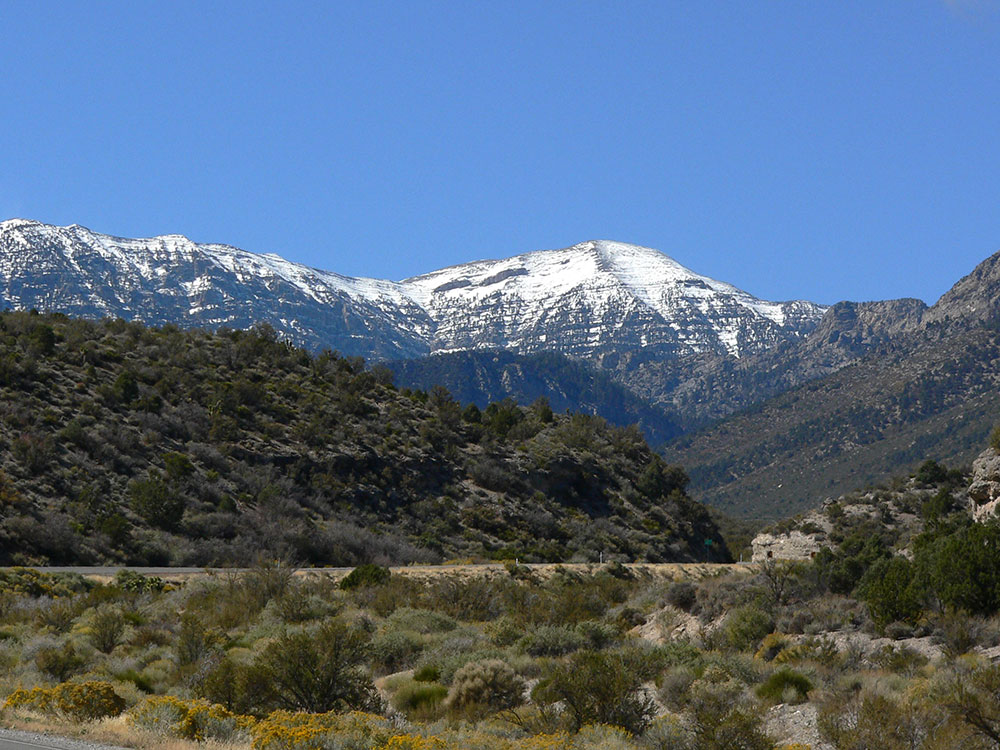
Mount Charleston, including Charleston Peak (Nuvagantu, literally "where snow sits", in Southern Paiute or Nüpakatütün in Shoshoni) at 11,916 feet (3,632 m), is the highest mountain in both the Spring Mountains and Clark County, in Nevada. It is the eighth-highest mountain in the state. Well separated from higher peaks by large, low basins, Charleston Peak is the most topographically prominent peak in Nevada, and the eighth-most-prominent peak in the contiguous United States. It is one of eight ultra-prominent peaks in Nevada. It is located about 35 miles (56 km) northwest of Las Vegas within the Mount Charleston Wilderness, which is within the Spring Mountains National Recreation Area of the Humboldt-Toiyabe National Forest.
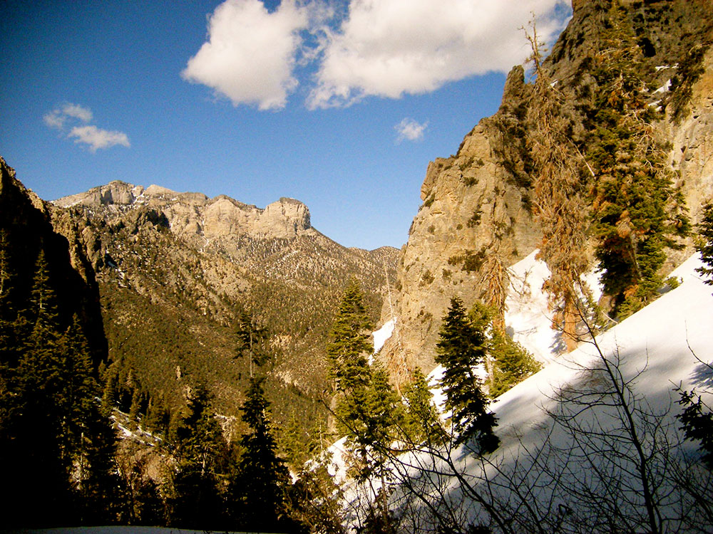
Mount Charleston is a year-round getaway for Las Vegas's residents and visitors, with a number of hiking trails, a modest ski area, a hotel and a small restaurant. The mountain, which is snow-capped more than half the year, can be seen from parts of the Las Vegas Strip when looking toward the west. Mount Charleston has nearly 200 camp sites and over 150 picnic areas, some of which are RV-accessible.
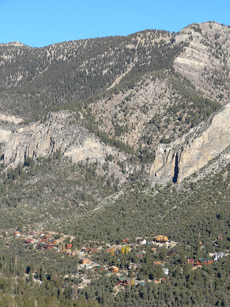
The village of Mount Charleston, Nevada, lies at its base to the east.
The state of Nevada issues license plates with the caption "Mt. Charleston" and an image of the peak in the background. Sales of the plate supports the natural environment of the Mount Charleston area through grants administered by the Nevada Division of State Lands.
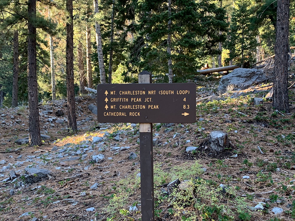
Hiking
Charleston Peak is a popular destination for hikers. The summit offers panoramic views from the Sierra Nevada, Death Valley, and Las Vegas. There are two well-marked and well-maintained trails to the summit: South Loop Trail and North Loop Trail. The trails can be done on their own as an out-and-back hike, or combined as a loop. Both approaches involve a strenuous 16-mile+ round trip with over 4000 feet of climbing. The hike often takes all day. The hike is most accessible in the snow-free months of summer and fall.
Mount Charleston, Nevada
The town of Mount Charleston is named for nearby Mount Charleston whose Charleston Peak at 11,916 feet (3,632 m) is the highest point in Clark County. The town of Mount Charleston is in a valley of the Spring Mountains to the northwest of Las Vegas, noted for its hiking trails. It is also known for its Mt. Charleston Lodge, which is a rustic restaurant and lounge; and its Retreat on Charleston Peak, a 64-room hotel. At an elevation of approximately 7,500 feet, temperatures are much lower than in Las Vegas, which has an elevation of about 2,000 feet, making it a popular place for Las Vegans to vacation. The mean high temperature is 20.4 degrees (Fahrenheit) cooler than in Las Vegas. The area is also known as a vacation village for wealthy Las Vegas residents.
This article uses material from the Wikipedia article "Mount Charleston", and "Mount Charleston, Nevada", which is released under the Creative Commons Attribution-Share-Alike License 3.0