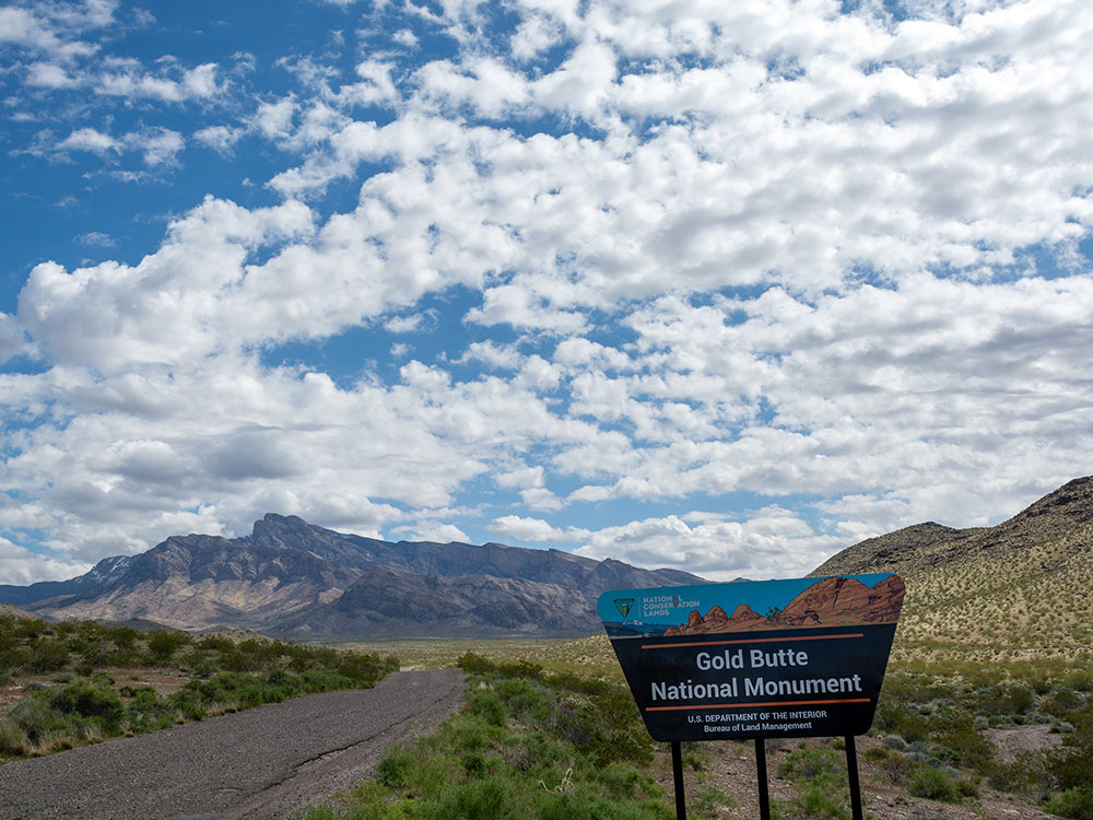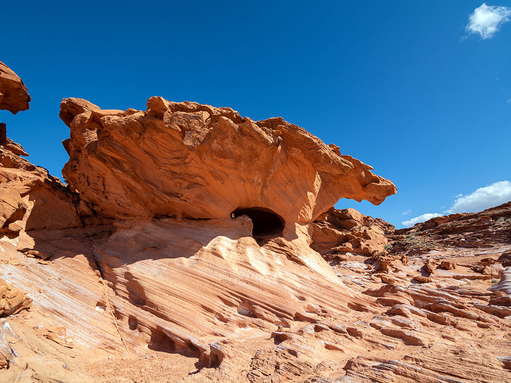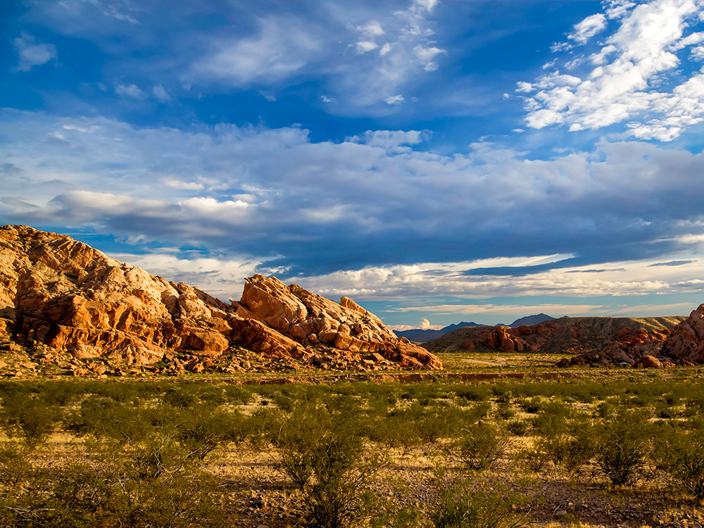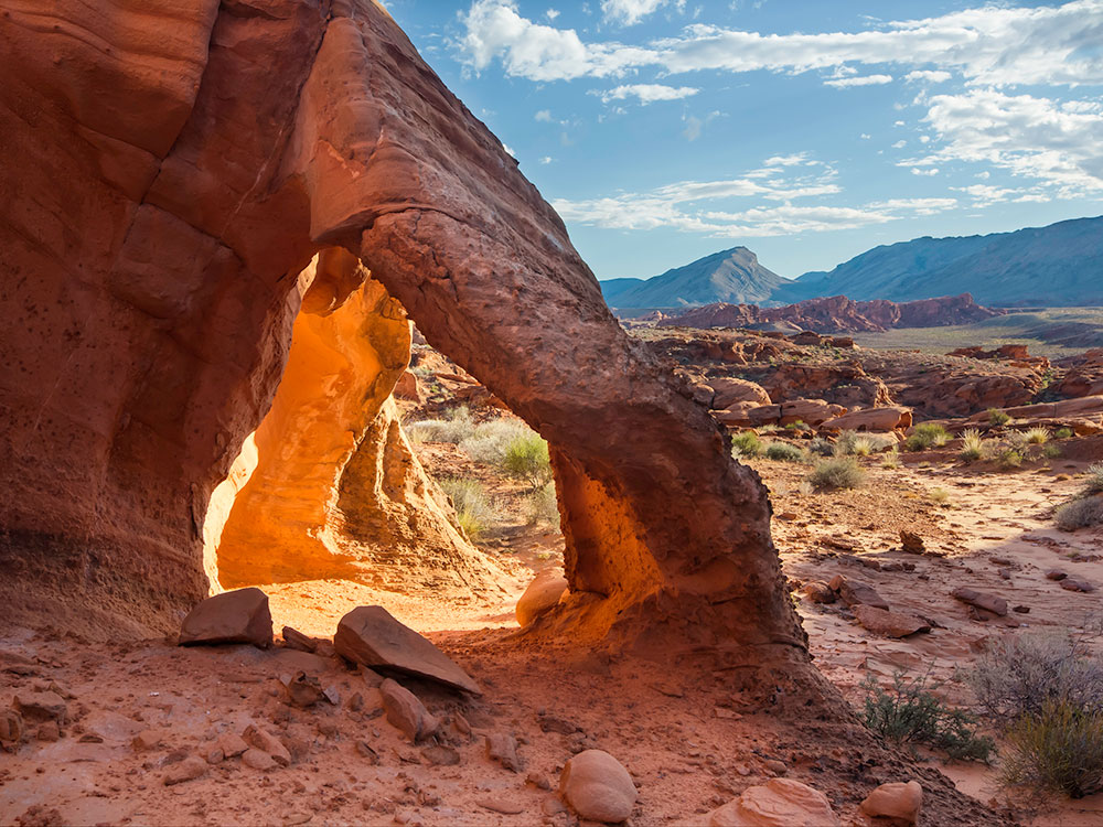

A compact desert resort town along the Colorado River known for its casinos, riverfront activities, and easy access to nearby outdoor recreation.
How to Get There
From Las Vegas (95 mi): Drive south on US‑95 toward Searchlight, then take NV‑163 east down into Laughlin.
From Kingman, AZ (35 mi): Take AZ‑68 west, cross the Colorado River into Nevada, and follow signs along Casino Drive.
Overview
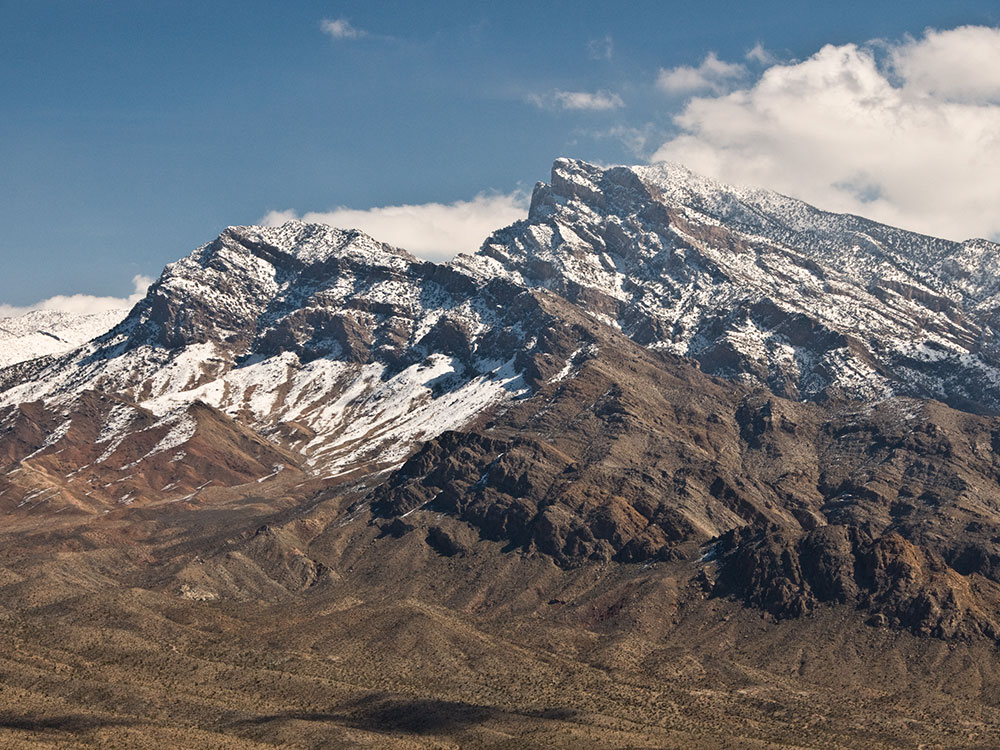
The town of Laughlin sits along a bend of the Colorado River, where the stark beauty of the Mojave Desert meets the lively energy of a resort destination. Though much smaller and quieter than Las Vegas, it offers a similar blend of entertainment with a more relaxed pace. A line of casinos and hotels stretches along the riverfront, connected by a scenic walkway where visitors can move easily between resorts while enjoying views of the water and surrounding mountains.
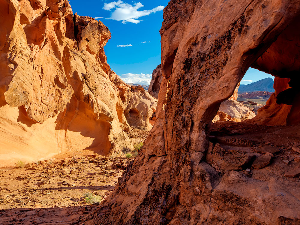
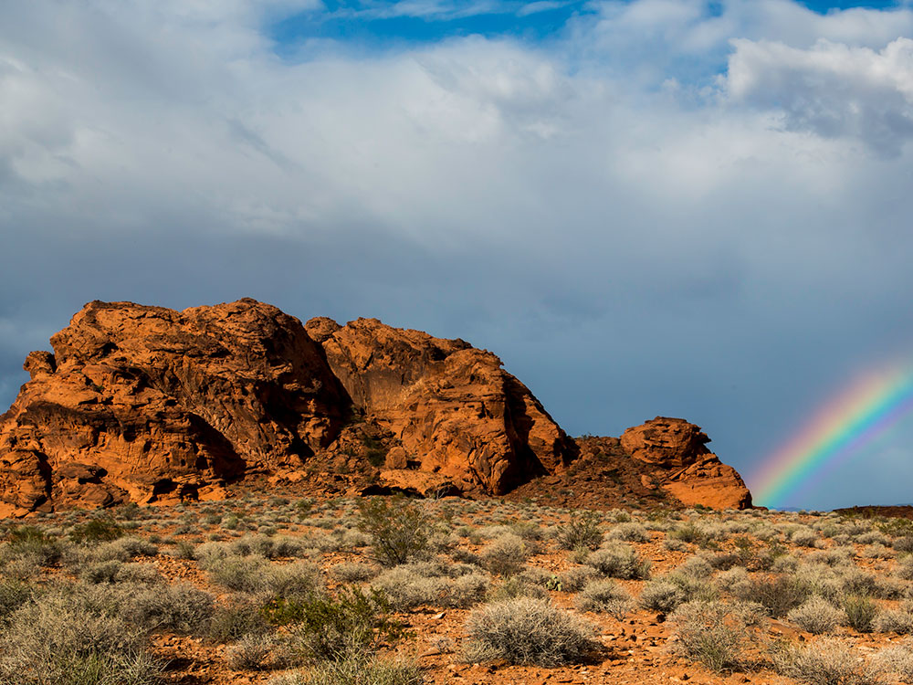
Beyond its gaming and entertainment scene, Laughlin serves as a gateway to outdoor exploration. The Colorado River provides opportunities for boating, jet skiing, fishing, and riverside relaxation, while nearby destinations like Grapevine Canyon, Davis Dam, and the surrounding desert trails invite hiking and sightseeing. With warm winters, striking desert landscapes, and a mix of recreation and leisure, Laughlin offers a unique balance between natural adventure and resort-style escape.
Things to Do
Experience Nevada's Riverside Resort Destination
Laughlin is located along the Colorado River in southern Nevada and is known for its waterfront resorts, casinos, outdoor recreation, and sunny desert climate. The city attracts visitors seeking a combination of entertainment, river activities, scenic desert landscapes, and easy access to nearby natural attractions.
Enjoy Recreation on the Colorado River
The Colorado River is the centerpiece of Laughlin and offers opportunities for boating, jet skiing, kayaking, paddleboarding, fishing, swimming, and scenic river cruises. Visitors can enjoy miles of waterfront views while exploring one of the region's most popular recreational resources.
Explore Laughlin's Resort and Casino District
Laughlin features a collection of riverfront resorts offering gaming, live entertainment, dining, shopping, nightlife, and special events. The Riverwalk connects many of the major resorts, allowing visitors to enjoy scenic walks along the water.
Visit Big Bend of the Colorado State Recreation Area
Located just south of Laughlin, this popular recreation area offers beaches, picnic areas, hiking, camping, fishing, and wildlife viewing along the Colorado River. It provides a quieter outdoor experience while showcasing the beauty of the surrounding Mojave Desert.
Discover Grapevine Canyon
A short drive from Laughlin, Grapevine Canyon is home to one of the largest collections of Native American petroglyphs in southern Nevada. Visitors can explore a scenic desert canyon while viewing hundreds of ancient rock art panels left by Indigenous peoples.
Take a Scenic Drive to Christmas Tree Pass
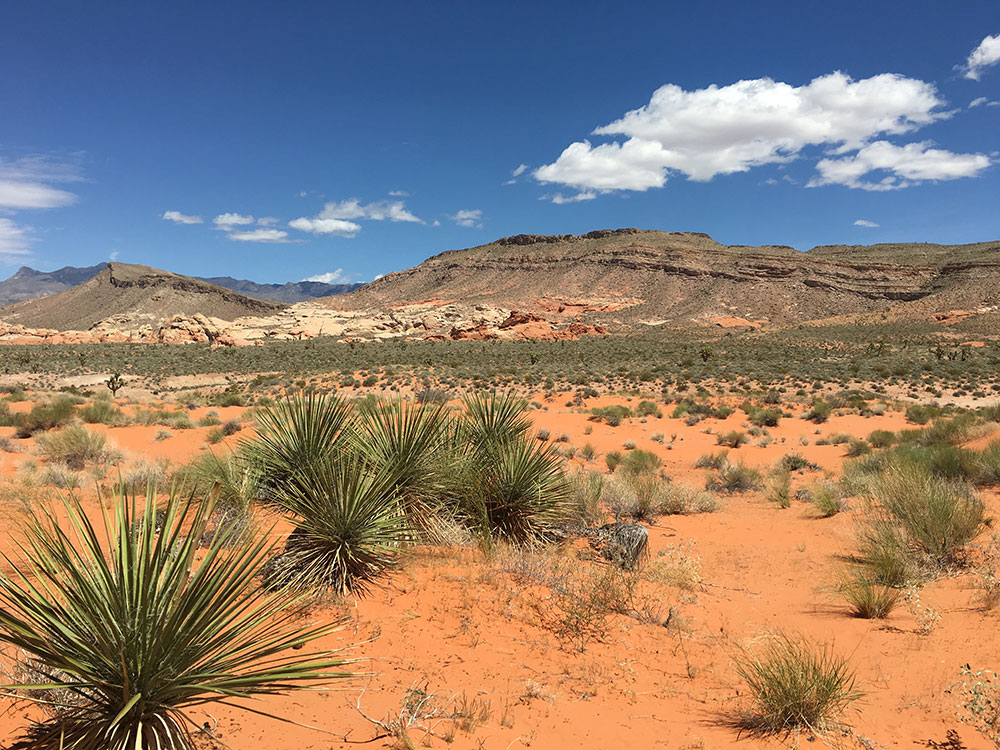
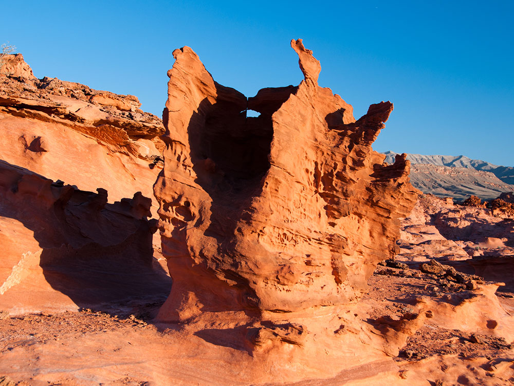
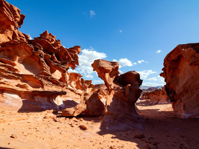
This picturesque desert route winds through the Newberry Mountains and offers access to unique rock formations, Joshua tree forests, petroglyph sites, and expansive views of the Mojave Desert. It is a favorite destination for sightseeing and photography.
Top Trails
Grapevine Canyon Trail
Length: Approximately 2 miles round trip
Elevation Gain: Minimal
Difficulty: Easy
This popular trail follows a desert wash into Grapevine Canyon, where visitors can view an impressive collection of petroglyphs and seasonal waterfalls after significant rainfall. The route combines archaeology, history, and desert scenery.
Christmas Tree Pass Trail System
Length: Various route options
Elevation Gain: Moderate
Difficulty: Easy to Moderate
The trails near Christmas Tree Pass provide opportunities to explore Joshua tree forests, desert mountain landscapes, wildlife habitats, and panoramic viewpoints overlooking the surrounding region.
Big Bend River Trail
Length: Approximately 1.5 miles round trip
Elevation Gain: Minimal
Difficulty: Easy
Located within Big Bend of the Colorado State Recreation Area, this easy walk offers scenic river views, access to beaches, and opportunities for birdwatching and wildlife observation along the shoreline.
Hiko Springs Trail
Length: Approximately 4 miles round trip
Elevation Gain: Moderate
Difficulty: Moderate
This lesser-known desert trail leads through rugged terrain to natural spring areas and provides excellent opportunities to experience the remote beauty of the Mojave Desert surrounding Laughlin.
Sources: Visit Laughlin tourism resources, including information on Colorado River recreation, resort attractions, river cruises, entertainment, dining, and outdoor activities.
https://www.visitlaughlin.com/https://www.visitlaughlin.com/
Additional information verified through Nevada State Parks resources covering Big Bend of the Colorado State Recreation Area, camping, hiking, fishing, boating, and wildlife viewing opportunities.
https://parks.nv.gov/parks/big-bend-of-the-coloradohttps://parks.nv.gov/parks/big-bend-of-the-colorado
Further trail and recreation information reviewed through Bureau of Land Management resources covering Grapevine Canyon, Christmas Tree Pass, Native American petroglyphs, desert hiking opportunities, and public lands surrounding Laughlin.
https://www.blm.gov/visit/grapevine-canyonhttps://www.blm.gov/visit/grapevine-canyon
This article uses material from the Wikipedia articles and official tourism pages for the Laughlin, Nevada, which are released under the Creative Commons Attribution-Share-Alike License 3.0.
Featured Locations

Big Bend of the Colorado State Recreation Area
Scenic riverside recreation area featuring sandy beaches, clear cool water, desert canyons, and diverse wildlife with opportunities for boating, camping, and hiking.
Colorado River Heritage Greenway Park and Trails
Riverside trail system offering paved and natural paths, scenic desert views, and accessible routes for walking, biking, and horseback riding alongside the Colorado River.

Don Laughlin’s Classic Car Museum
Multi-level museum displaying a large collection of classic automobiles, motorcycles, and vintage gaming artifacts that showcase the evolution of automotive design and culture.