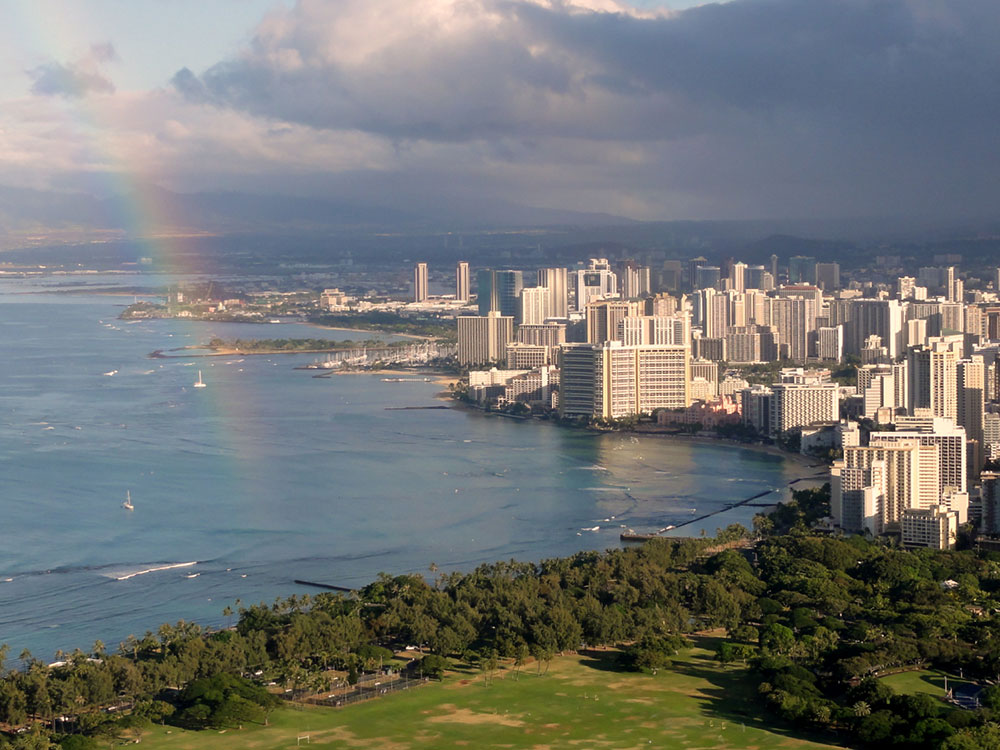
Volcanic crater offering a historic hiking trail through tunnels and bunkers with panoramic views of Honolulu and the Pacific Ocean.
General Information
Last entry at 4:00 PM
Closed Christmas and New Year’s Day
Non-Residents: $5 per person
Children 3 and under: Free
Parking (Non-Residents): $10 per vehicle
How to Get There
From Honolulu, HI (5 mi): Take H-1 E to 6th Ave, continue onto Monsarrat Ave, then follow Diamond Head Rd to the park entrance.
Overview
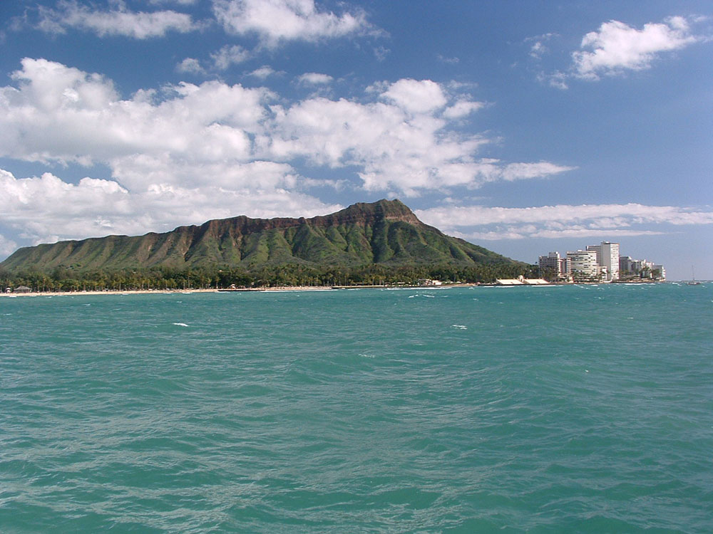
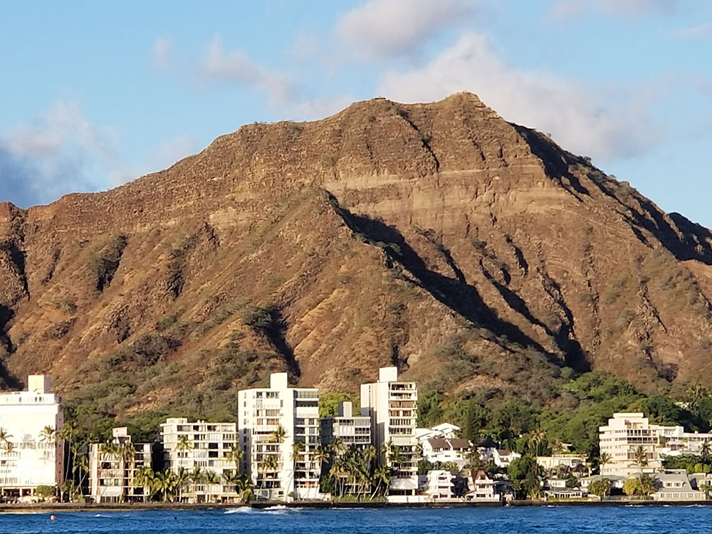
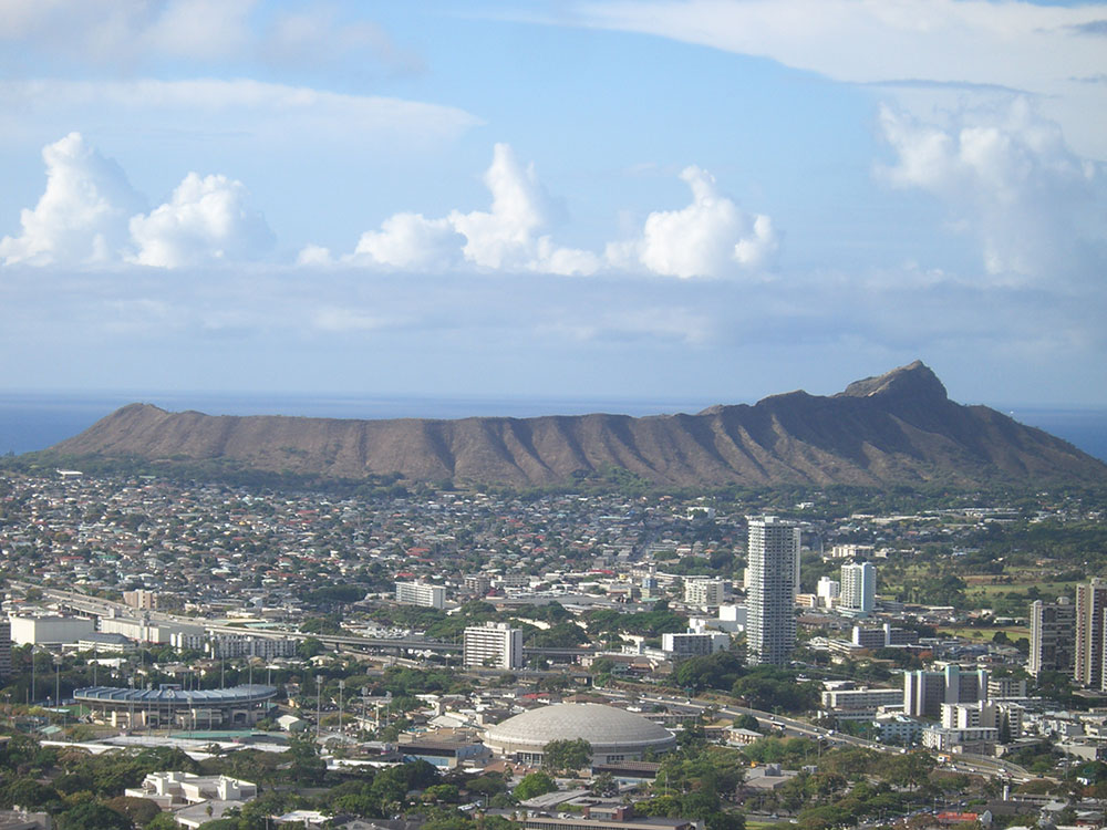
Diamond Head (Lēʻahi) is a volcanic tuff cone and the defining landmark of the Waikīkī skyline, a National Natural Landmark since 1968 and a State Monument. Its Hawaiian name likely comes from lae (brow) and ʻahi (tuna), because the ridgeline resembles a tuna’s dorsal fin. British sailors in the 19th century mistook calcite crystals on the beach for diamonds, giving it its English name. Its proximity to Honolulu’s resort hotels and beaches makes it a popular destination, though part of the crater is closed to the public and serves as an antenna platform.
What to See
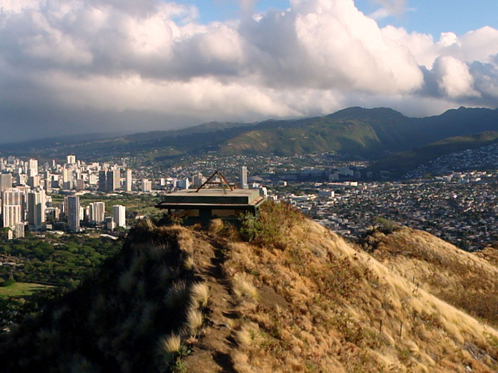
- Crater and summit lookout: the 475-acre crater, also called Diamond Head Lookout, offers panoramic views of Waikīkī and Oahu’s south shore. It served as a strategic military lookout in the early 1900s, and a few pillboxes remain at the summit.
- Diamond Head Lighthouse: a navigational lighthouse built in 1917 next to the crater’s slopes.
- Fort Ruger: the crater once held Hawaii’s first U.S. military reservation. Battery 407 and the Birkhimer Tunnel, the state civil defense headquarters, remain in use.
Geology
Diamond Head is part of the Honolulu Volcanic Series, late eruptions from the Koʻolau Volcano that also created Punchbowl Crater, Hanauma Bay, Koko Head and Mānana Island. At roughly 400,000 to 500,000 years old, it is far younger than the 2.6-million-year-old Koʻolau Range.
This article uses material from the Wikipedia article "Diamond Head, Hawaii", which is released under the Creative Commons Attribution-Share-Alike License 3.0