
Golden Gate National Recreation Area Travel Guide
National Recreation Area protecting ecologically and historically significant landscapes surrounding the San Francisco Bay Area and is one of the largest urban parks in the world
How to Get There
Overview
The Golden Gate National Recreation Area is the most visited unit in the National Park System, with more than 15 million visitors a year, protecting 82,000 acres of coast, forests, hills and historic sites around the San Francisco Bay Area. It is one of the largest urban parks in the world, stretching from San Mateo County to Marin County, with 59 miles of shoreline, and includes some of the Bay Area’s best-known places, among them Alcatraz, Muir Woods National Monument, the Presidio, Fort Point, Fort Mason, the Marin Headlands, Ocean Beach, Sutro Baths and the Cliff House.
Much of the land was once used by the U.S. Army, and its fortifications span centuries, from Spanish colonial times to Cold War Nike missile sites. Congress created the park in 1972, starting with the purchase of Alcatraz and Fort Mason from the Army and the Marin Headlands land from the Nature Conservancy. The park is home to more than 3,000 plant and animal species.
This article uses material from the Wikipedia articles "Golden Gate National Recreation Area", which are released under the Creative Commons Attribution-Share-Alike License 3.0
Featured Areas
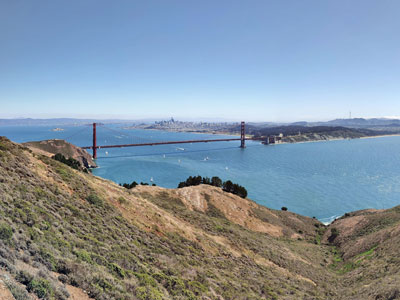
Tarwin Stroh-Spijer, CC BY-SA 4.0, via Wikimedia Commons; Image Size Adjusted
Marin Headlands Area
Hilly peninsula at the southernmost end of Marin County, located just north of San Francisco across the Golden Gate Bridge, famous for their views of the Bay Area, especially of the Golden Gate Bridge
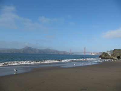
Laika ac from USA, CC BY-SA 2.0, via Wikimedia Commonss; Image Size Adjusted
.jpg)
San Francisco Area
Vast coastal park system preserving rugged shorelines, historic landmarks, redwood forests, scenic trails, wildlife habitats, and world-famous views surrounding the entrance to San Francisco Bay.
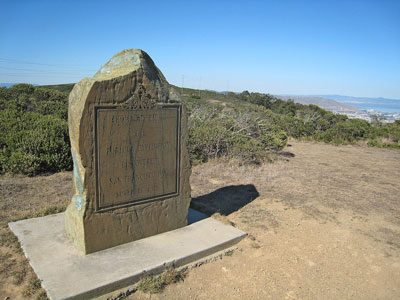
Richard Wood, CC BY-SA 3.0, via Wikimedia Commons; Image Size Adjusted

Sweeney Ridge
Hilly hiking area of ridges and ravines between San Bruno and Pacifica, California. The ridge's 1,200-foot-high summit, covered with coastal scrub and grassland, slopes down to San Francisco Bay on the east and to the Pacific Ocean on the west