.jpg)
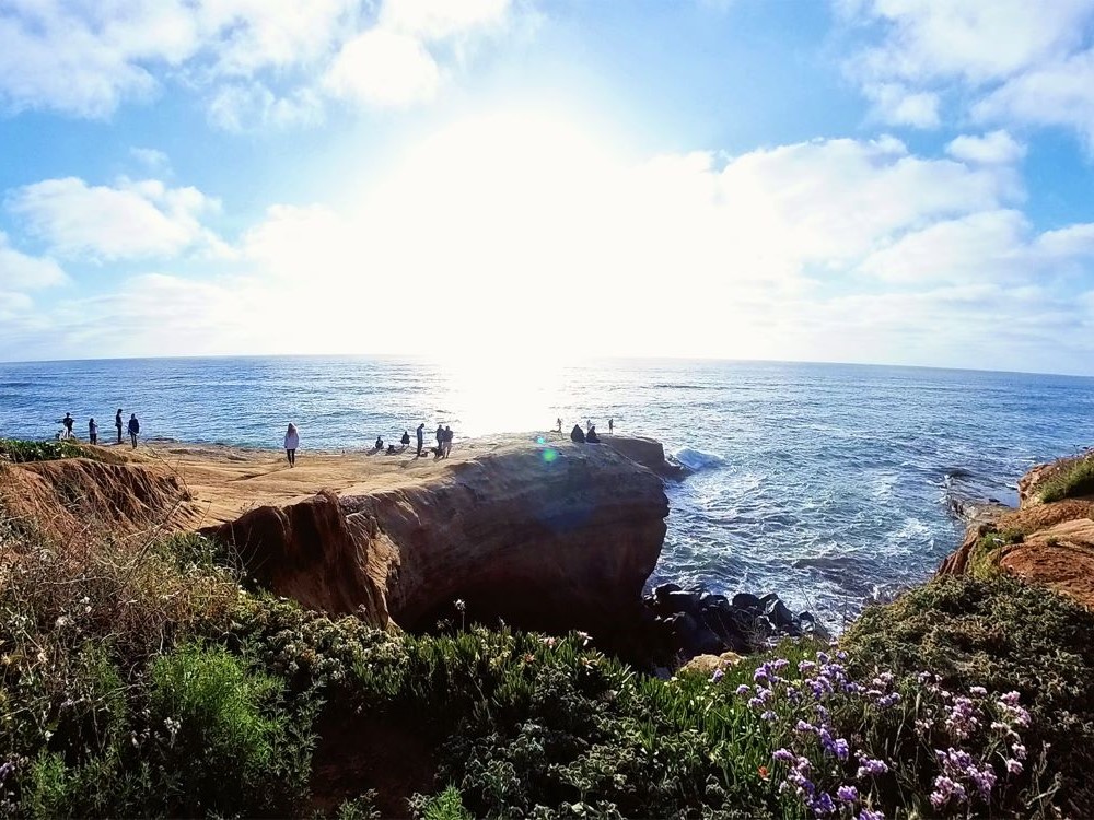
68-acre resource-based park stretching along the Pacific Ocean bordering the western edge of Point Loma includes intricately carved coastal bluffs, arches and sea caves, affording inspiring panoramic ocean views
Getting There
From San Diego (12mi) Get on I-5 N. Follow I-5 N to La Jolla Pkwy. Take exit 26A from I-5 N. Continue on La Jolla Pkwy. Take Torrey Pines Rd to Coast Blvd.
Overview
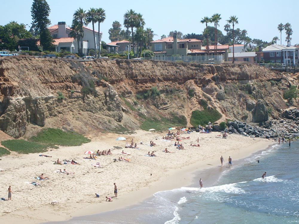
Sunset Cliffs is a neighborhood in the Point Loma community of San Diego. The area is named for the sheer cliffs which border the ocean. There are surfing spots below the cliffs. The cliffside trails are popular for walking and for watching the sunset, but are undeveloped and can be dangerous.
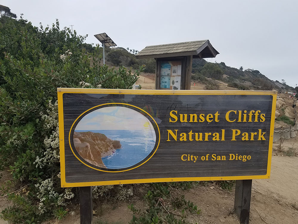
Sunset Cliffs Natural Park
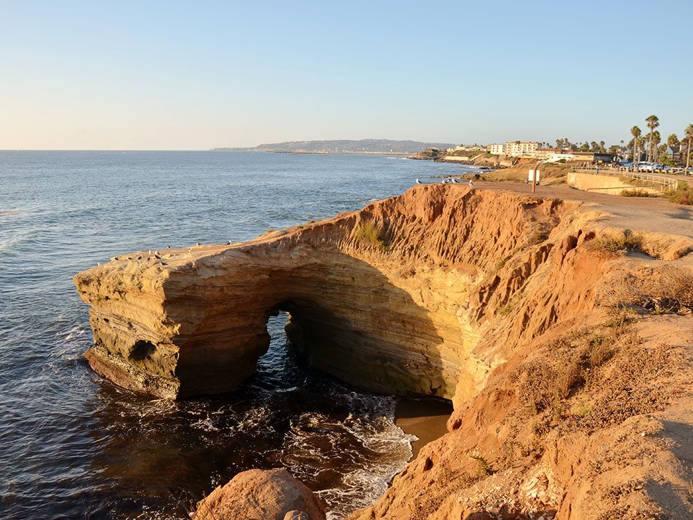
Sunset Cliffs Natural Park is a 68-acre (28 ha) city park adjacent to the Pacific Ocean on the western edge of Point Loma. It includes the entire strip of land immediately adjacent to the ocean, between the water and Sunset Cliffs Boulevard, as well as a larger area of undeveloped park and nature preserve on the south side of the area. It was dedicated in 1983. It stretches from Adair Street to Ladera Street. This coastal strip is connected to the 640-acre (260 ha) Point Loma Reserve. The park includes carved coastal bluffs, arches and sea caves. From the cliffs, the California gray whale can be seen migrating annually from the Bering Sea to Baja California. The park is a popular place to view the sunset, hence the name.
Luscombs Point
The Luscomb Point area, at the end of Hill Street, is named after Happy Luscomb, a local resident who often surfed the area. Luscomb point is a popular location for weddings and sunset viewing.
This article uses material from the Wikipedia article "Sunset Cliffs, San Diego", which is released under the Creative Commons Attribution-Share-Alike License 3.0
This article uses material from the City of San Diego website
 Jllm06, CC BY-SA 4.0, via Wikimedia Commons ; Image Size Adjusted
-1000.jpg)