
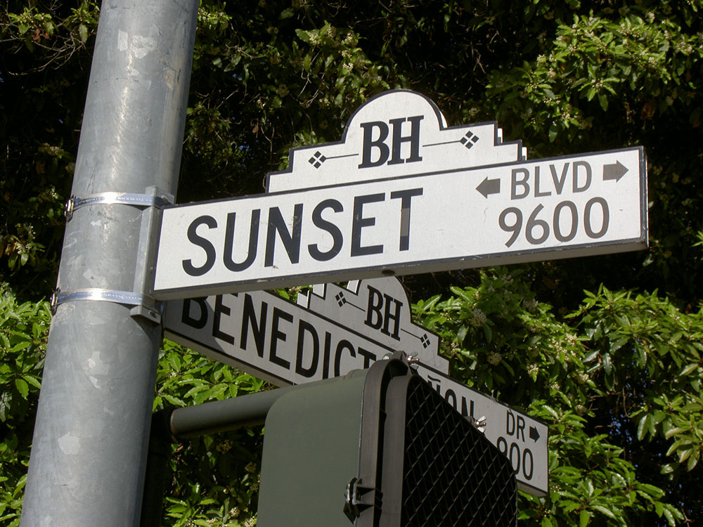
Major thoroughfare in the cities of Beverly Hills and West Hollywood (including a portion known as the Sunset Strip).
Overview
Sunset Boulevard is a boulevard in the central and western part of Los Angeles, California, that stretches from the Pacific Coast Highway in Pacific Palisades east to Figueroa Street in Downtown Los Angeles. It is a major thoroughfare in the cities of Beverly Hills and West Hollywood (including a portion known as the Sunset Strip), as well as several districts in Los Angeles.
Geography
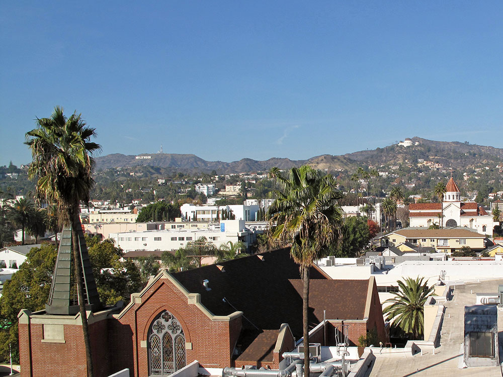
Approximately 22 miles (35 km) in length, the boulevard roughly traces the arc of mountains that form part of the northern boundary of the Los Angeles Basin, following the path of a 1780s cattle trail from the Pueblo de Los Angeles to the ocean.
From Downtown Los Angeles, the boulevard heads northwest, to Hollywood, through which it travels due west for several miles before it bends southwest towards the ocean. It passes through or near Echo Park, Silver Lake, Los Feliz, Hollywood, West Hollywood, Beverly Hills, and Holmby Hills. In Bel-Air, Sunset Boulevard runs along the northern boundary of UCLA's Westwood campus. The boulevard continues through Brentwood to Pacific Palisades, where it terminates at the Pacific Coast Highway intersection.
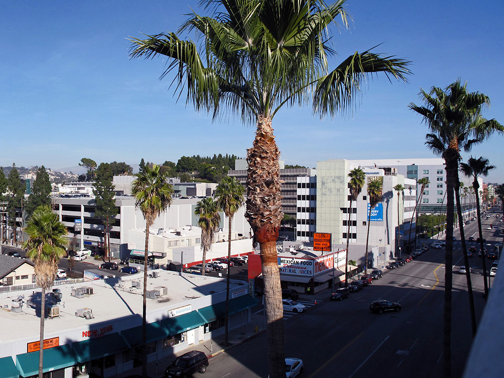
Sunset Boulevard is at least four lanes wide along its entire route. Sunset is frequently congested with traffic loads beyond its design capacity.
Sunset Boulevard historically extended farther east than it does now, starting at Alameda Street near Union Station and beside Olvera Street in the historic section of Downtown. The portion of Sunset Boulevard east of Figueroa Street was renamed Cesar Chavez Avenue in 1994, along with Macy Street and Brooklyn Avenue, in honor of the late Mexican-American union leader and civil rights activist.
This article uses material from the Wikipedia article "Sunset Boulevard", which is released under the Creative Commons Attribution-Share-Alike License 3.0