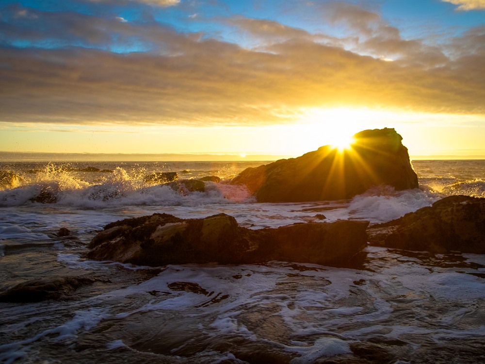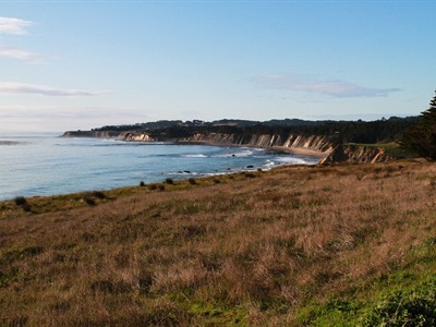

A secluded coastal cove framed by rugged bluffs and ocean vistas, featuring sandy beaches, tide pools, and rare spherical rock formations revealed at low tide.
No formal gate hours; access may vary with daylight and conditions
How to Get There
From Point Arena (3 mi): Drive south on CA-1 for about 3 miles to the intersection with Schooner Gulch Road, then park along the west side of the highway and follow the short coastal trail down to the beach.
Overview
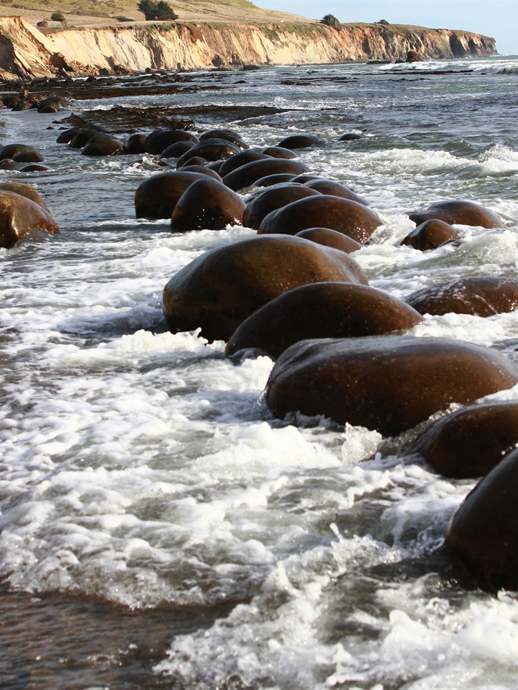
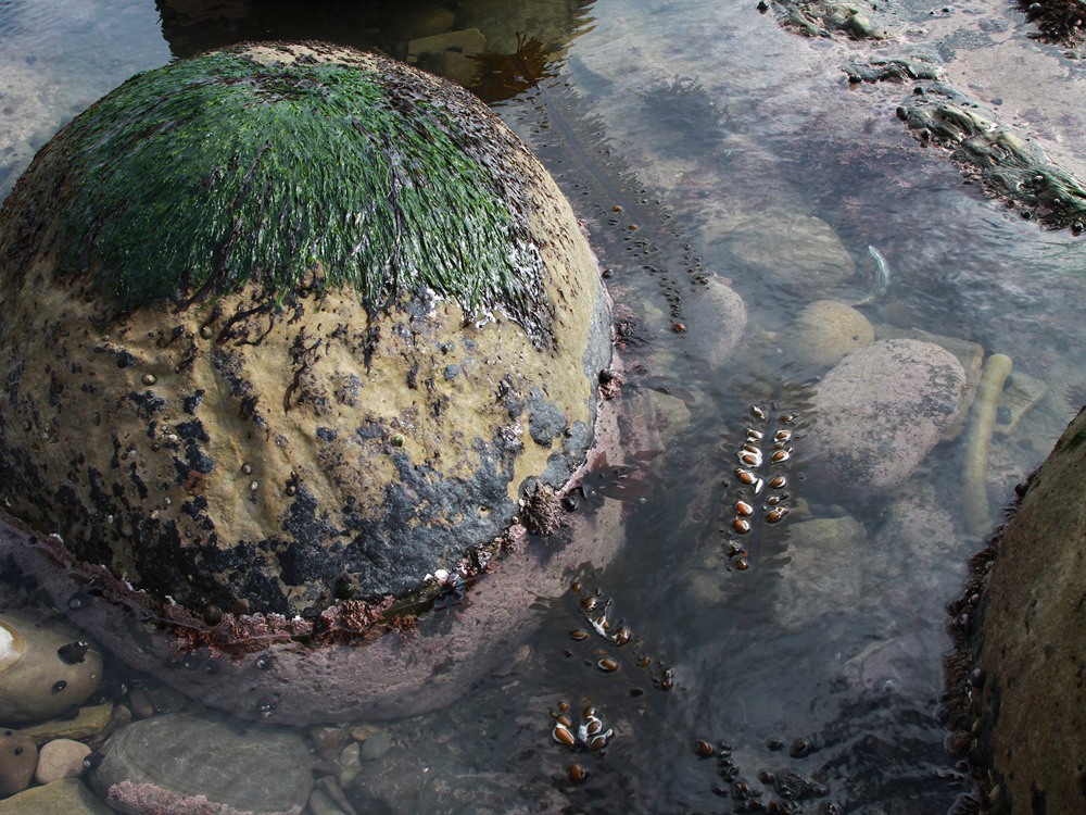
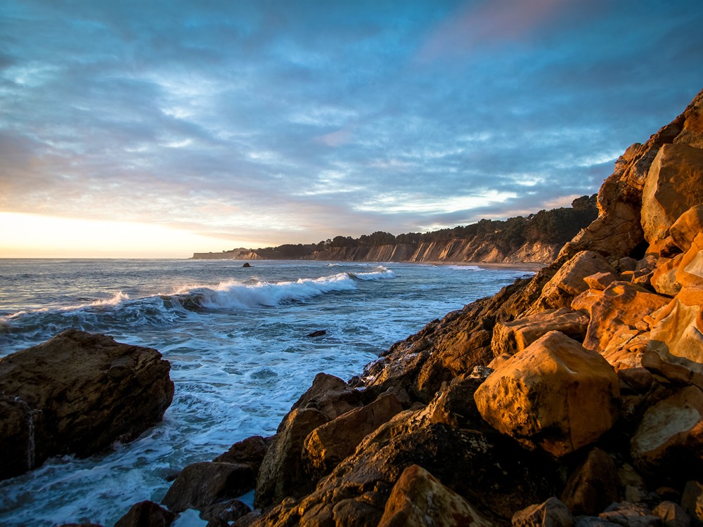
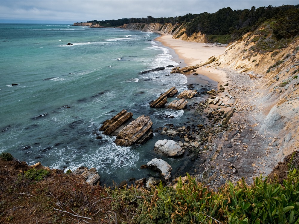
Schooner Gulch State Beach is a small California state beach on the Mendocino Coast, where steep bluffs drop to a sandy cove at the mouth of Schooner Gulch, south of Point Arena in Northern California. The park is best known for Bowling Ball Beach, just north of the cove, where rows of round sandstone concretions are exposed on the shore at low tide. These spherical rocks formed over millions of years within the sedimentary cliffs and have been uncovered as the bluffs erode, creating one of the more unusual beaches on the Pacific coast. People come to photograph the formations, explore tide pools and driftwood-strewn sand, and fish, surf or watch for whales from the bluffs.
Access
The park is where Schooner Gulch Road meets Highway 1, about 3 miles south of Point Arena, and a small parking area with two trailheads lies on the west side of the highway. From the trailhead the path crosses a meadow to the edge of the bluff and then descends to the shore on stairs and paths that can be eroded, so use caution. The south fork leads to Schooner Gulch Beach and the north fork leads to Bowling Ball Beach. Cell service is limited, and there are no facilities beyond the parking area, so bring water and supplies. Check a tide table before going, because the bowling balls are visible only at low tide.
Seasons
The park is open year-round, and the main seasonal factor is the tide rather than the time of year. The lowest tides, when the concretions are best exposed, occur at different times throughout the year, so plan around a tide chart rather than the calendar. Late spring through early fall generally has the mildest weather, though the coast is often foggy and windy in summer. Winter storms bring heavy surf and rain that can make the trail muddy and the beach unsafe, but gray whales can be seen offshore during their winter and spring migration. Weather is changeable in every season, so dress in layers.
Things to Do
See the Bowling Balls at Low Tide
At low tide, the round sandstone concretions of Bowling Ball Beach are lined up on the exposed rock shelf. Plan your visit around a tide table, and keep an eye on the waves so you are not caught by the returning water.
Explore the Cove and Tide Pools
The sandy cove, tide pools and driftwood make for good beachcombing and photography. Fishing, surfing, picnicking and snorkeling are also popular along this stretch of coast.
Watch for Whales
The bluffs provide views over the ocean where migrating gray whales may be spotted offshore during the winter and spring, along with seabirds.
Top Trails
North Fork to Bowling Ball Beach
Length: Short walk (official length not published)
Elevation Gain: Descent to the beach (not published)
Difficulty: Easy to Moderate
This trail crosses a meadow to the bluff edge and drops down to the shore, where visitors can walk north at low tide to reach the concretions. The route includes eroded stairs, so watch your footing.
South Fork to Schooner Gulch Beach
Length: Short walk (official length not published)
Elevation Gain: Descent to the beach (not published)
Difficulty: Easy to Moderate
The south fork leads to the sandy cove at the mouth of Schooner Gulch, a quieter spot for tide pools, driftwood and ocean views.
Visitor Centers
The park has no visitor center, museum or staffed facilities. For current information on conditions, tides and trail closures, contact the Mendocino District office of California State Parks or check the park’s page on the California State Parks website. The nearest town services and visitor information are in Point Arena, about 3 miles north.
Camping and Lodging
There is no camping or lodging at the beach itself. The closest hotels and inns are in Point Arena, about 3 miles north, and in Gualala, about 10 miles south. For camping, Manchester State Park, about 7 miles north of Point Arena, has a campground, and a private KOA campground with cabins is nearby at Manchester Beach. Visitors can also base in the village of Mendocino, roughly an hour’s drive north. Lodging in this remote stretch of coast is limited, so book ahead in summer.
This article uses material from the Wikipedia articles and official tourism pages for the Schooner Gulch State Beach, which are released under the Creative Commons Attribution-Share-Alike License 3.0. Additional information from California State Parks.