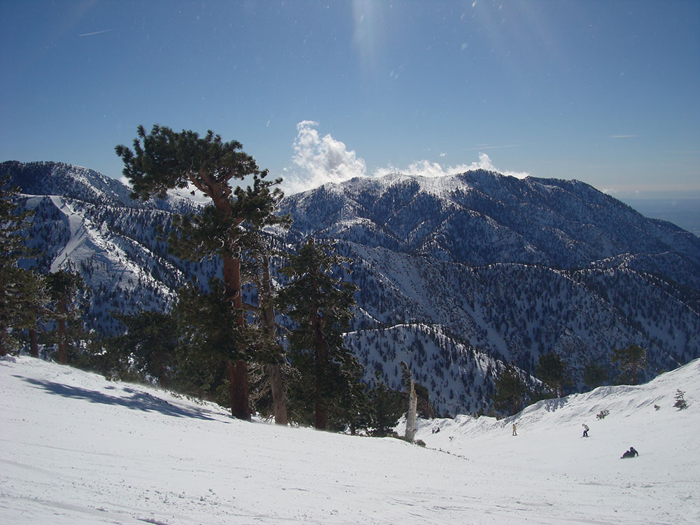
Mountain colloquially referred to as Mount Baldy or Old Baldy, is a 10,066 ft (3,068 m) peak lying within the San Gabriel Mountains, and is the high point of the range, the county, and the Los Angeles metropolitan area
General Information
Ski lifts and resort facilities have seasonal hours; check baldyresort.com for details
Parking: Adventure Pass required at most trailheads ($5/day or $30/year)
Chairlift (optional): Paid access to Baldy Notch
Must be leashed (max 6 feet)
Trail conditions can be hazardous for dogs, especially in winter
Avoid winter hiking unless experienced and properly equipped
How to Get There
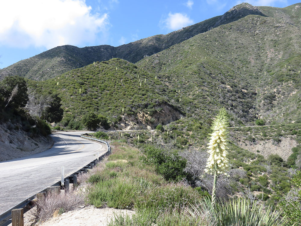
From Los Angeles (50 mi): Take I-210 E to Baseline Rd in Claremont, continue on Mt Baldy Rd through Mount Baldy Village, and follow signs to Manker Flats Trailhead for access to Mount Baldy.
Overview
Mount San Antonio, colloquially referred to as Mount Baldy or Old Baldy, is a 10,066 ft (3,068 m) peak in the San Gabriel Mountains in Los Angeles County, California. Lying within the San Gabriel Mountains National Monument and Angeles National Forest, it is the high point of the range, the county, and the Los Angeles metropolitan area. Mount San Antonio's sometimes snow-capped peaks are visible on clear days and dominate the view of the Los Angeles Basin skyline. The summit and a subsidiary peak to the west form a double-peaked high point of a steep-sided east-west ridge. The summit is accessible via a number of connecting ridges along hiking trails from the north, east, south and southwest.
Name
The mountain is almost always referred to as "Mount Baldy" by locals, to the point where many may not recognize the name "Mount San Antonio." The mountain was named by a local rancher after Saint Anthony of Padua. When American settlers arrived and surveyed the land, "Baldy" - a reference to the bare fell-field of Baldy Bowl that dominates the south face visible from Los Angeles - became the predominant name, and it has stuck. Nonetheless, "Mount San Antonio" is the official name according to the GNIS, and is still used by a number of institutions (e.g. Mount San Antonio College).
Geography
Mt. San Antonio lies in the Angeles National Forest. Its summit is 10,066 feet (3,068 m), and marks the boundary between San Bernardino County and Los Angeles County. A sub-peak, West Baldy, is 9,996 feet (3,047 m).
The mountain's southern watershed drains into San Antonio Creek, the north side into Lytle Creek and the Fish Fork of the San Gabriel River. San Antonio and Lytle Creeks are part of the Santa Ana River watershed. San Antonio Creek descends through a deep canyon which has several waterfalls, the last about 75 feet (23 m) high.
East of the summit is Mount Harwood, which is in turn connected by a narrow ridge, "The Devil's Backbone," to a pass known as the Baldy Notch. At the Notch there is a ski resort, the closest one to Los Angeles. South of the resort, and connected to its ski lift by an asphalt road, lies Mt Baldy Village.
There are no roads or maintained trails connecting the mountain to the less populated region to its north, but a use trail leads over Dawson and Pine Mountains to Wright Mountain and the Pacific Crest Trail, overlooking the town of Wrightwood.
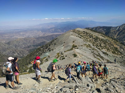
Hiking trails reach the summit from four sides of the mountain, and one route can be completed with assistance from the nearby ski lift.
The trails vary in difficulty, and there are plenty of options for novices, as well as experienced hikers.
Mt. Baldy Notch - (3.5 miles one way): The trail begins at Manker Flats, where the Baldy Notch Service Road can be taken to the notch. The trail provides scenic views at the notch, and other trails ahead.
Devil's Backbone - (3.2 miles one way from Notch): A service road at Mt. Baldy Notch leads to the Devil's Backbone trailhead and continues to the main peak.
Mt. Baldy Trail - (6.5 miles one way to Mt. Baldy Summit): This is the oldest and longest trail to the summit. Because it starts at Mt. Baldy Village, it has almost 6000' of elevation gain.
Icehouse Canyon - (3.7 miles one way): The Icehouse Canyon trail begins in the parking lot at Icehouse and goes all the way up to Icehouse Saddle where a number of trails can be taken either to the Notch or to nearby peaks such as Ontario and Cucamonga. (5.5 miles).
Ski Hut Trail - This trail follows the east side of the San Antonio Creek canyon to a small backcountry ski hut owned by the Sierra Club. A use trail continues around the left side of the bowl and then to the summit.
Three T's - (5.3 miles one way): The trail starts and ends at the Icehouse Canyon Trailhead. It leads to views from the summits of Thunder, Timber and Telegraph Mountains.
This article uses material from the Wikipedia article "Mount San Antonio", which is released under the Creative Commons Attribution-Share-Alike License 3.0