Volcanic landscape of cinder cones and lava flows offering scenic drives, hiking trails, and geological exploration.
General Information
Visitor Center: May–October: 8:00 AM – 5:00 PM; November–May: 9:00 AM – 5:00 PM
Closed: December 25
Motorcycle: $15
Individual (on foot or bicycle): $10
Annual Pass: $40
Covers entrance to both Sunset Crater and Wupatki National Monuments for 7 days
Permitted only in parking lots and must be leashed (max 6 ft)
How to Get There
From Flagstaff, AZ (18 mi): Take US-89 N for 12 miles, then turn right onto Sunset Crater–Wupatki Loop Road and continue 2 miles to the visitor center.
Overview
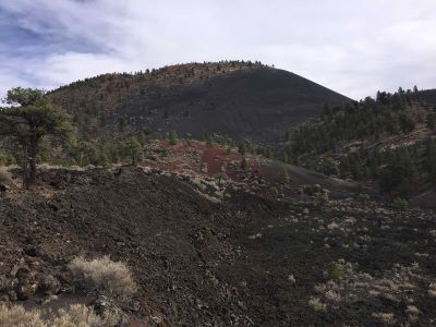
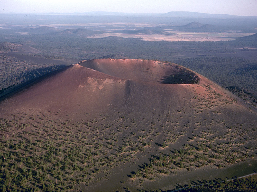
Sunset Crater is a cinder cone located north of Flagstaff in Arizona. The crater is within the Sunset Crater Volcano National Monument.
Formation
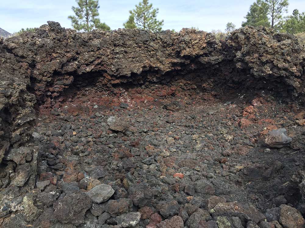
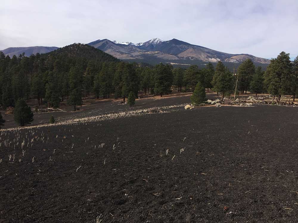
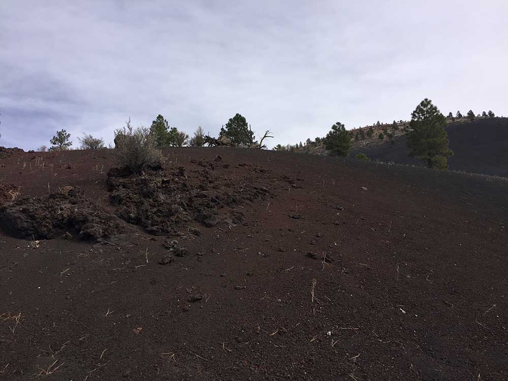
The date of the eruptions that formed the 340-meter-high cone (1,120 ft) was initially derived from tree-ring dates, suggesting the eruption began between the growing seasons of AD 1064-1065. However, more recent geologic and archaeological evidence places the eruption around AD 1085. The largest vent of the eruption, Sunset Crater itself, was the source of the Bonito and Kana-a lava flows that extended about 2.5 kilometers (1.6 mi) NW and 9.6 kilometers (6 mi) NE, respectively. Additional vents along a 10-kilometer-long fissure (6.2 mi) extending SE produced small spatter ramparts and a 6.4-kilometer-long lava flow (4 mi) to the east. The Sunset Crater eruption produced a blanket of ash and lapilli covering an area of more than 2,100 square kilometers (810 sq mi) and forced the temporary abandonment of settlements of the local Sinagua people. The volcano has partially revegetated, with pines and wildflowers. The crater is the namesake for the Sunset Crater Beardtongue (Penstemon clutei). The volcano is monitored by the Yellowstone Volcano Observatory and is classified as a moderate threat.
Damage from hikers forced the National Park Service to close a trail leading to the crater, but a short trail at the base remains.
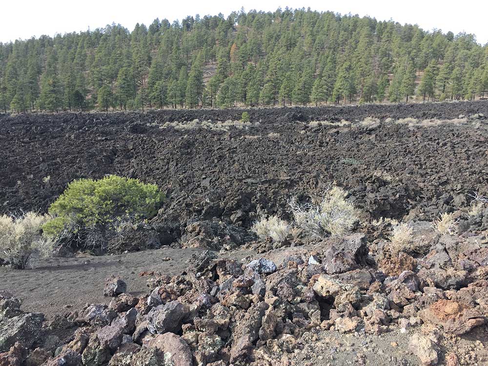
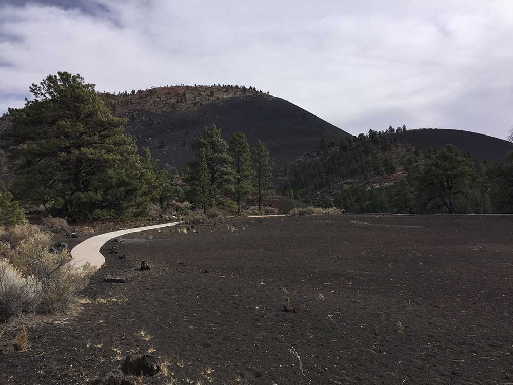
The hiking trail below the summit skirts the substantial Bonito Lava Flow. This hardened lava is black and appears fresh as it has devastated the forest in its path. The lava flow also created an ice cave or tube that is now closed to the public after a partial collapse.
Sunset Crater Volcano National Monument
Sunset Crater Volcano National Monument was created to protect Sunset Crater. The monument is managed by the National Park Service in conjunction with nearby Wupatki National Monument.
A 1-mile (1.6 km), self-guided loop trail is located at the base of Sunset Crater, but hiking to the summit is not permitted. A trail providing access to the summit and crater was closed in 1973 because of excessive erosion caused by hikers. A visitor center is located near the park entrance, 15 miles (24 km) north of Flagstaff, Arizona, along U.S. Highway 89.
This article uses material from the Wikipedia article "Sunset Crater", which is released under the Creative Commons Attribution-Share-Alike License 3.0
Volcanic Rock Field
Volcanic Ash Hills