Vast desert landscape defined by towering sandstone buttes, mesas, and expansive open plains shaped by erosion over millions of years into iconic natural formations.
General Information
Visitor Center (Oct 1 – Apr 30): 8:00am – 5:00pm daily
Scenic Drive Summer: 7:00am – 7:00pm (last entry 4:30pm)
Scenic Drive Winter: 8:00am – 5:00pm (last entry 2:30pm)
Vehicle Entry (up to 4 people): $20.00
Additional persons: $8.00 each
National Park Passes are not accepted
Must be leashed at all times
Not permitted inside the visitor center
Mexican Hat, UT (25 mi)
Page, AZ (121 mi)
Summer (June–August) is hottest and busiest
Winter (November–March) is quiet and scenic with occasional snow
From Page, AZ (151mi) Follow AZ-98 E to US-160 E in Navajo County. Take US-163 N to UT-261 N in San Juan County. Drive to UT-316 W
Overview
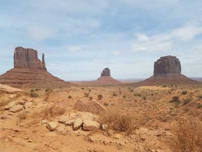
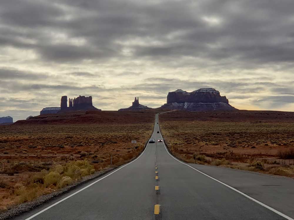
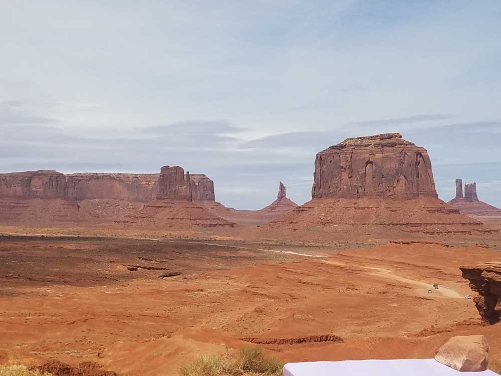
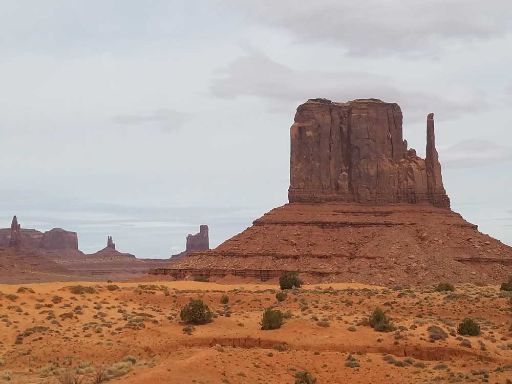
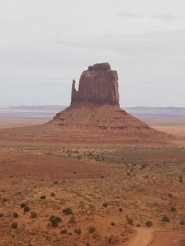
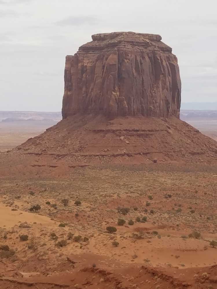
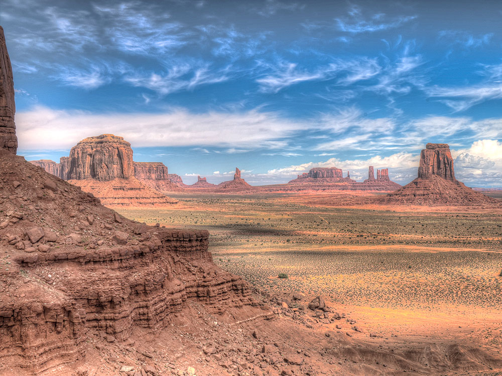
Monument Valley (Navajo: Tsé Bii' Ndzisgaii, meaning valley of the rocks) is a region of the Colorado Plateau characterized by a cluster of vast sandstone buttes, the largest reaching 1,000 ft (300 m) above the valley floor. It is located on the Arizona-Utah state line, near the Four Corners area. The valley lies within the territory of the Navajo Nation Reservation and is accessible from U.S. Highway 163. Monument Valley has been featured in many forms of media since the 1930s. Director John Ford used the location for a number of his best-known films.
Geography and geology
The area is part of the Colorado Plateau. The elevation of the valley floor ranges from 5,000 to 6,000 feet (1,500 to 1,800 m) above sea level. The floor is largely siltstone of the Cutler Group, or sand derived from it, deposited by the meandering rivers that carved the valley. The valley's vivid red color comes from iron oxide exposed in the weathered siltstone. The darker, blue-gray rocks in the valley get their color from manganese oxide. The buttes are clearly stratified, with three principal layers. The lowest layer is the Organ Rock Shale, the middle is de Chelly Sandstone, and the top layer is the Moenkopi Formation capped by Shinarump Conglomerate. The valley includes large stone structures including the famed "Eye of the Sun".
The buttes are clearly stratified, with three principal layers. The lowest layer is the Organ Rock Shale, the middle is de Chelly Sandstone, and the top layer is the Moenkopi Formation capped by Shinarump Conglomerate. The valley includes large stone structures including the famed "Eye of the Sun".
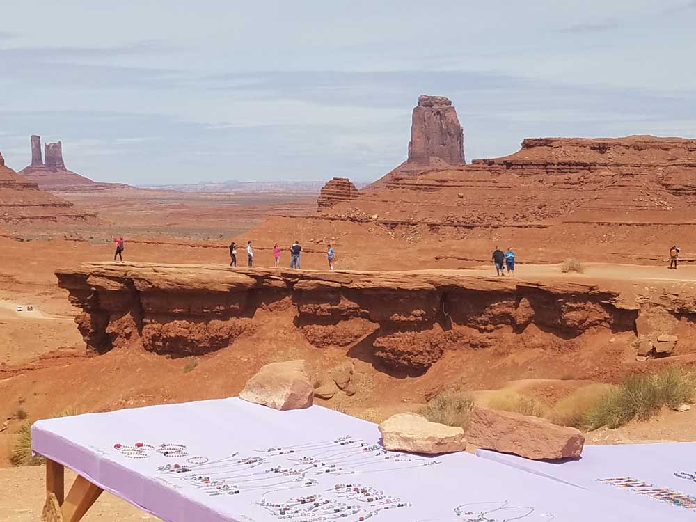
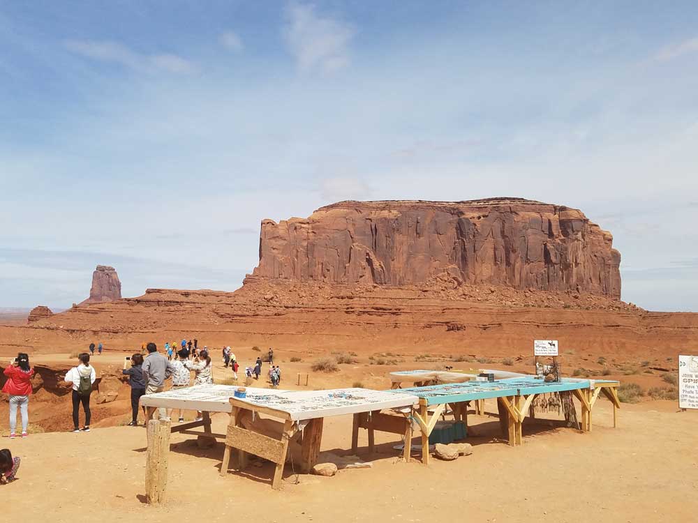
Tourism
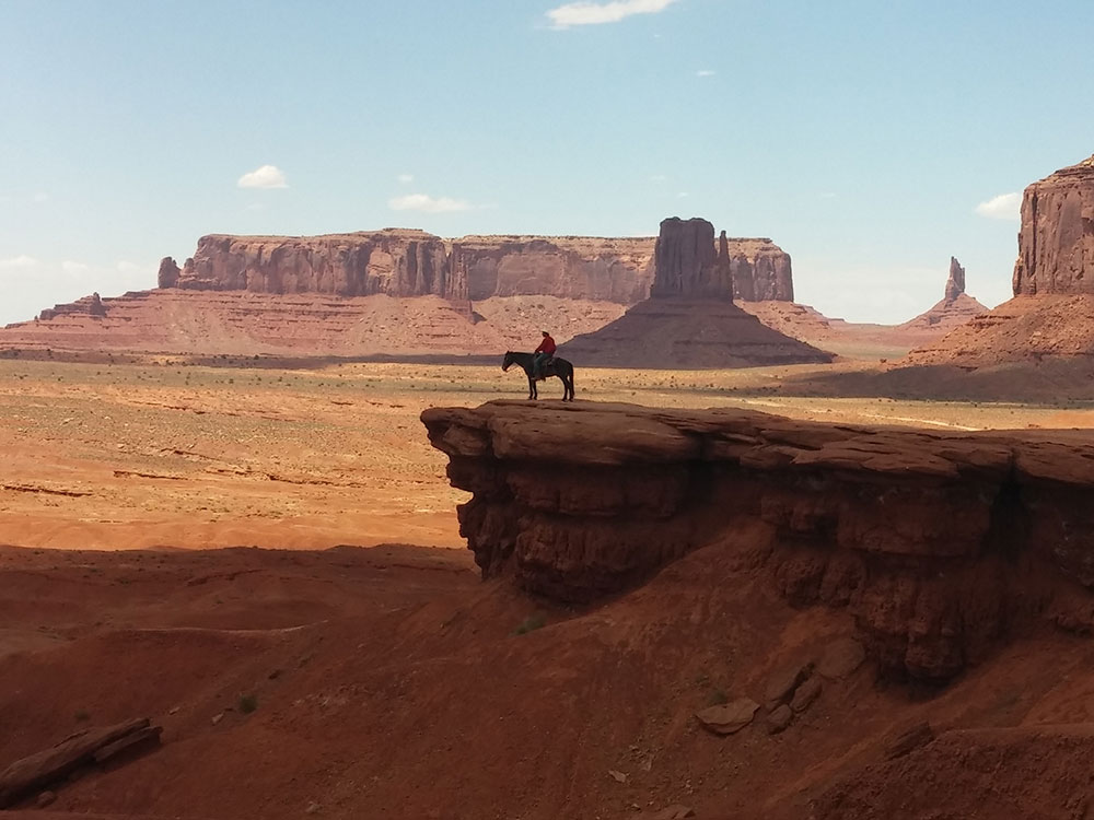
Monument Valley is officially a large area that includes much of the area surrounding Monument Valley Navajo Tribal Park, a Navajo Nation equivalent to a national park. Oljato, for example, is also within the area designated as Monument Valley. Parts of Monument Valley, such as Mystery Valley and Hunts Mesa, are accessible only by guided tour.
Forrest Gump Point
Iconic spot where Forrest ends his run in the 1994 film, with views of nearby Monument Valley. Actually located 13 miles outside the park on US-163 N. Will see sign marking location and several pullouts.
This article uses material from the Wikipedia article "Monument Valley", which is released under the Creative Commons Attribution-Share-Alike License 3.0
Featured Trails

Jeff P from Berkeley, CA, USA, CC BY 2.0, via Wikimedia Commons; Image Size Adjusted
.jpg)