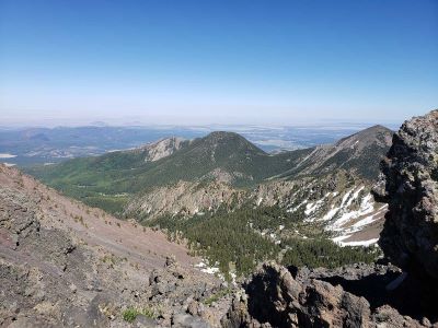
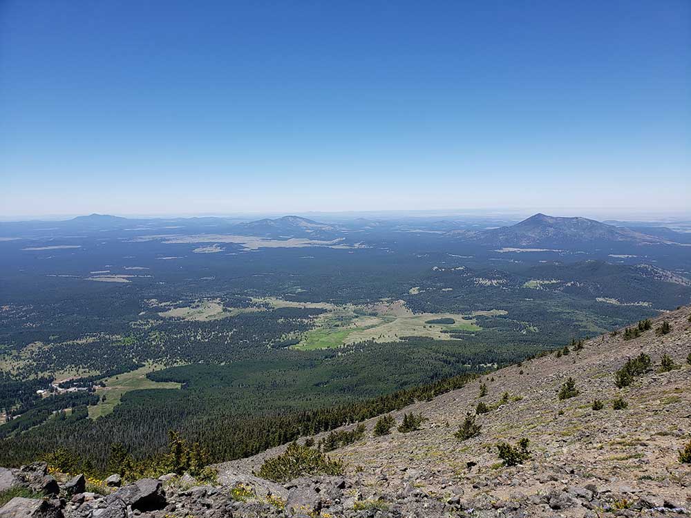
Alpine summit trail ascending through conifer forests and tundra to the highest point in the state, offering panoramic views of the Grand Canyon, Painted Desert, and surrounding volcanic peaks.
General Information
Trail access may be restricted during winter storms or fire danger
No permit required for day hiking
How to Get There
From Flagstaff, AZ (14 mi): Take US-180 N for 7 miles, turn right onto Snowbowl Rd (FR 516), and continue 7.4 miles to the lower parking lot; the trailhead is at the north end.
Overview
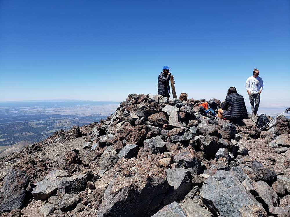
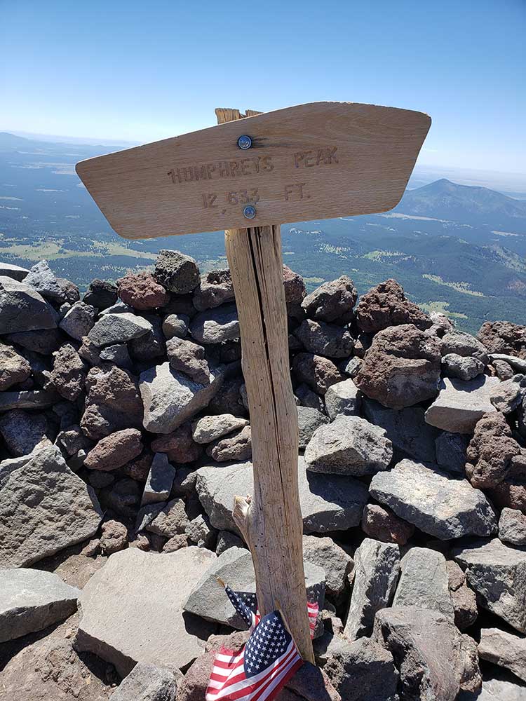
Humphreys Peak (Hopi: Aaloosaktukwi, Navajo: Dook'o'oosłííd) is the highest natural point in the state of Arizona, with an elevation of 12,637 feet (3,852 m) and is located within the Kachina Peaks Wildernessin the Coconino National Forest, about 11 miles (17.7 km) north of Flagstaff, Arizona. Humphreys Peak is the highest of a group of dormant volcanic peaks known as the San Francisco Peaks.
The summit can be most easily reached by hiking the 4.8 miles (7.7 km) long Humphreys Summit Trail that begins at the Arizona Snowbowl ski resort in the Coconino National Forest.
Humphreys Peak was named in about 1870 for Arizona General Andrew A. Humphreys, a U.S. Army officer who was a Union general during the American Civil War, and who later became Chief of Engineers of the United States Army Corps of Engineers.
This article uses material from the Wikipedia article "Humphreys Peak", which is released under the Creative Commons Attribution-Share-Alike License 3.0
Featured Trails

Humphreys Peak Summit Trail
10.5 miles roundtrip, 3353 feet elevation
The Saddle and Path to the Summit