Scenic byway approximately 39 miles long, winding in and out of some of the most awe-inspiring country in Arizona--or for that matter, in the West
General Information
Some sections may be closed due to weather or road conditions—check local advisories before visiting
Fees may apply at specific attractions along the route such as museums or boat tours
How to Get There
From Phoenix, AZ (40 mi): Take US-60 E to Idaho Rd in Apache Junction, then head north to AZ-88 E (Apache Trail) and follow the scenic route through the Superstition Mountains.
Overview
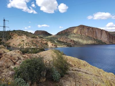
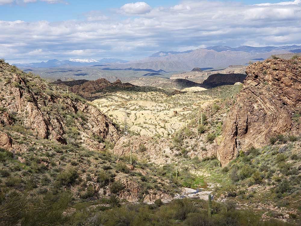
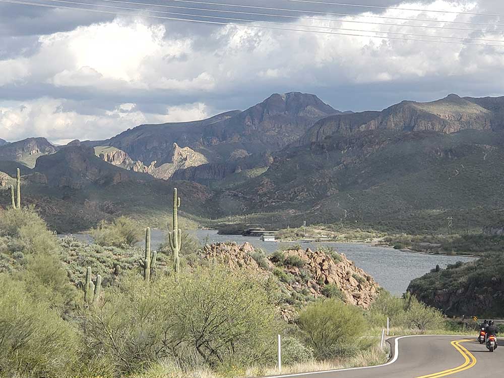
The scenic byway was designated in 1998, and is approximately 39 miles long, winding in and out of some of the most awe-inspiring country in Arizona--or for that matter, in the West. It is bound on the north by Canyon and Apache lakes, and on the south by the rugged Superstition Mountains and the Superstition Mountain Wilderness Area.
The Apache Trail in Arizona was a stagecoach trail that ran through the Superstition Mountains. It was named the Apache Trail after the Apache Indians who originally used this trail to move through the Superstition Mountains. The historic Apache Trail linked Apache Junction at the edge of the Greater Phoenix area with Theodore Roosevelt Lake, through the Superstition Mountains and the Tonto National Forest.
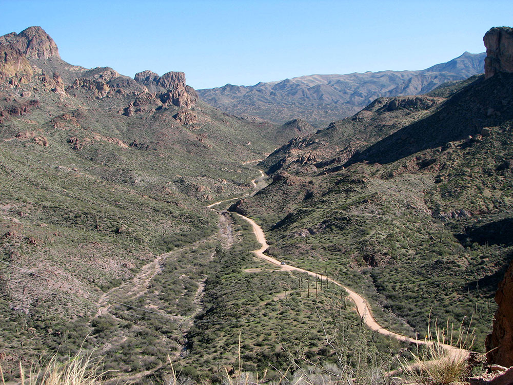
Most of the Apache Trail is unpaved, turning into a dirt road a few miles up from Tortilla Flat, and continuing as such for nearly the full remainder of its length. The section east of Apache Junction is known officially as State Route 88.
The Trail winds steeply through 40 miles of rugged desert mountains, past deep reservoir lakes like Canyon Lake and Apache Lake. The narrow, winding road is unpaved from just east of the town of Tortilla Flat to Roosevelt Dam; there are steep cliff drops and few safety barriers. The trail requires caution when driving and it is not recommended for large RVs, SUVs, or caravans. Fires and floods in 2019 resulted in a massive landslide between the Fish Creek Hill Overlook and Apache Lake Marina. This section of road has not been repaired and is closed indefinitely. Drivers can access Tortilla Flat from the west. Access to Apache Lake is only possible from the east.
This article uses material from the Wikipedia article "Apache Trail", which is released under the Creative Commons Attribution-Share-Alike License 3.0
This article uses material from United States Department of AgricultureForest Service website "Apache Trail Scenic Byway"
