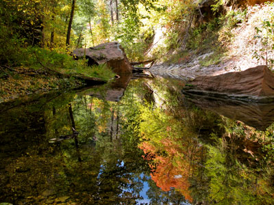

Trail leading the first 3 miles up the West Fork of Oak Creek, a 14-mile long narrow side canyon, is the most popular trail in the Coconino National Forest
General Information
Parking area hours may vary seasonally (commonly around 9am–5pm)
Walk-in or bike-in: about $3 per person
How to Get There
From Sedona (10 mi): Take AZ-89A north through Oak Creek Canyon for about 10 miles, then turn into the Call of the Canyon day-use area to reach the West Fork Trailhead parking lot.
Overview
Oak Creek Canyon is about 12 miles long, ranging in width from 0.8 to 2.5 miles. The depth of the canyon ranges from 800 to 2,000 feet (240 to 610 m). However, due to the faulting that played a major role in its formation, the west rim of the canyon is 700 feet higher than the east rim. The average elevation of the west rim is 7,200 feet while the east rim elevation is 6,500 feet. Oak Creek
Oak Creek, a tributary of the Verde River, flows along the bottom of the canyon, and is one of the few perennial streams in the high desert region of northern Arizona. Oak Creek is largely responsible for carving the modern Oak Creek Canyon, although movement along the Oak Creek Fault, a 30-mile long north-south normal fault line, is thought to have played a role as well. Oak Creek has an elevation of 4,300 feet just north of Sedona to 6,000 feet at the northern terminus of the canyon.
Recreation
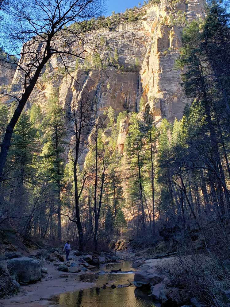
The United States Forest Service operates several campgrounds, picnic areas, and recreation areas within the canyon. Slide Rock State Park, home to a natural water slide along Oak Creek, is also located within Oak Creek Canyon. Other recreational activities include swimming and fishing in Oak Creek. There are 49 fishable miles along the creek where rainbow trout, brown trout, largemouth bass, smallmouth bass, catfish (channel) and catfish (flathead) can be found. Hiking the many trails leading into side canyons or up to the rim of the canyon is a popular activity for the area. The trail leading the first 3 miles up the West Fork of Oak Creek, a 14-mile long narrow side canyon, is the most popular trail in the Coconino National Forest.
West Fork of Oak Creek Trail
West Fork of Oak Creek Trail follows cliffs, a stream & canyons of the Oak Creek Canyon. In springtime, migrating songbirds decorate the trees with flashes of brilliance. In autumn, the canyon is ablaze with color, with red and gold leaves floating in clear reflecting pools under a canopy of solid color. In wintertime, icicles decorate from red rock overhangs, and snatches of snow persist in cool shadows.
Many hikers explore beyond the end of the maintained trail. Eventually the pathway ends, the route becomes more strenuous, and you will be forced to hike in the stream bed as you continue into the Red Rock-Secret Mountain Wilderness. If you choose to travel the entire 14 mile stretch from one end of the canyon to the other, plan to do a lot of wading and boulder hopping, and even some swimming.
This article uses material from the Wikipedia article "Oak Creek Canyon", which is released under the Creative Commons Attribution-Share-Alike License 3.0
This article uses material from the fs.usda.gov website "West Fork of Oak Creek No. 108"
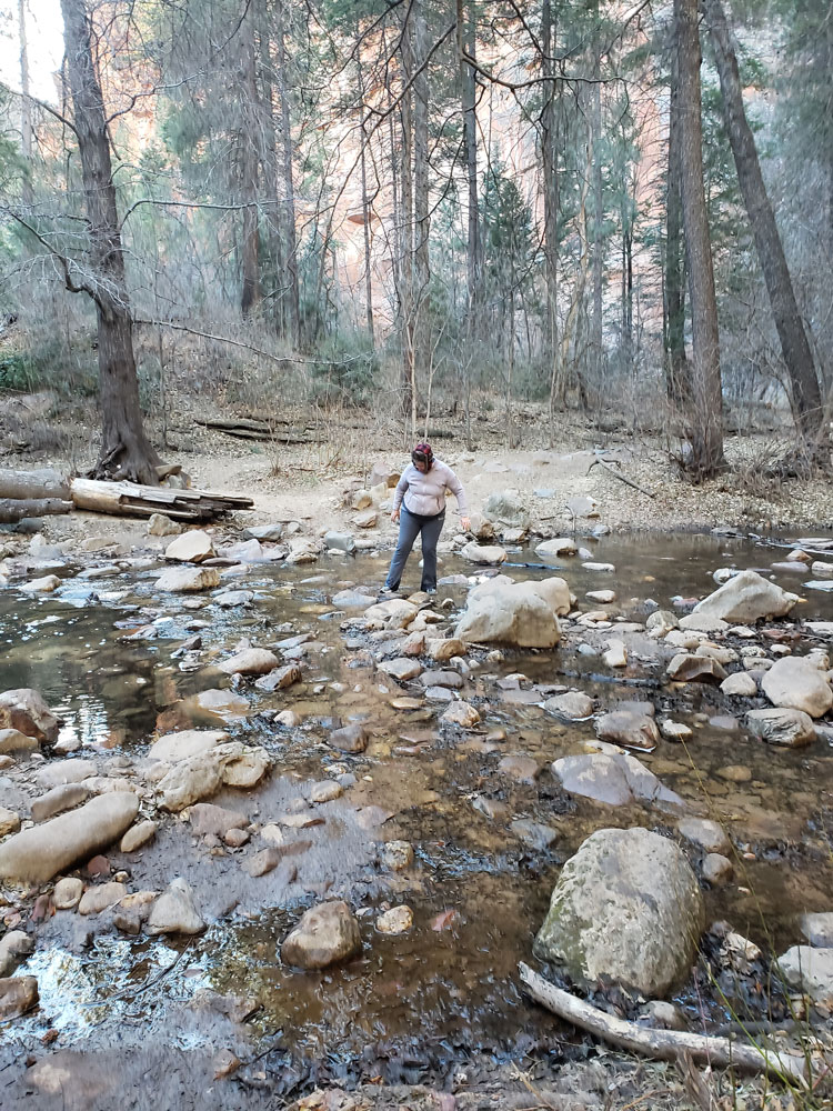
Traversing rocks in order to cross the creek
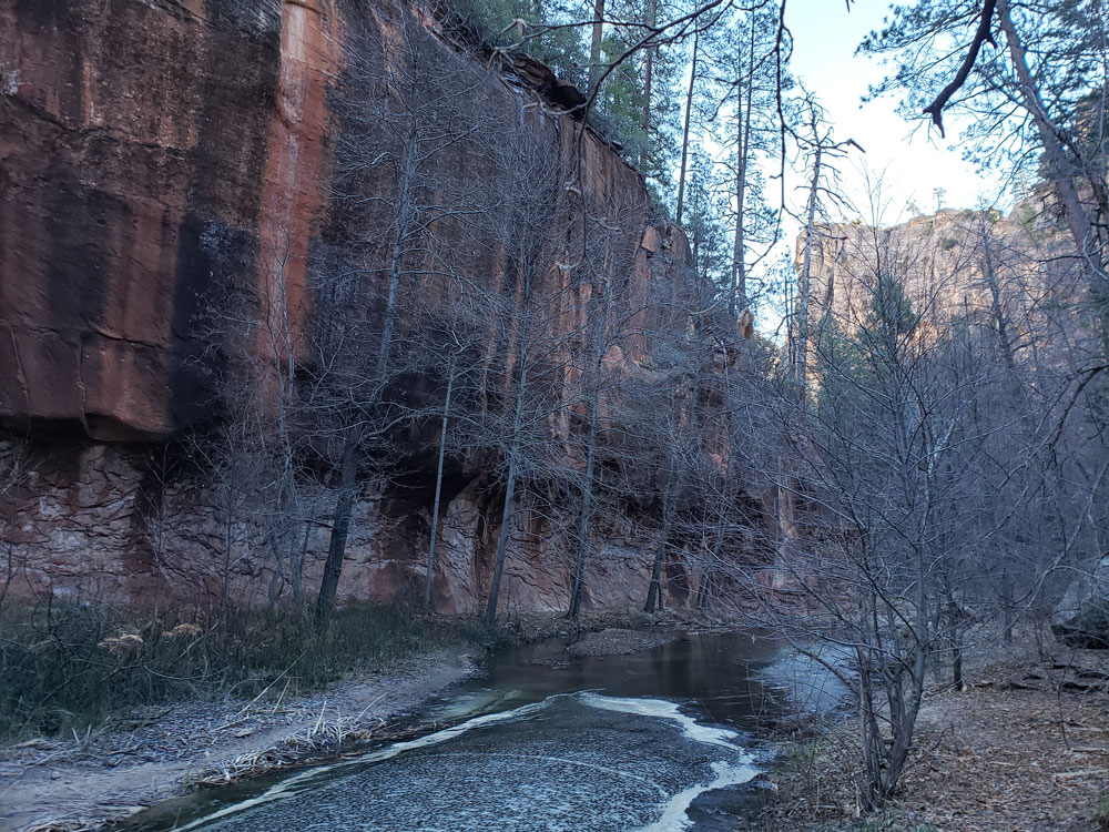
View of creek and canyon wall during winter
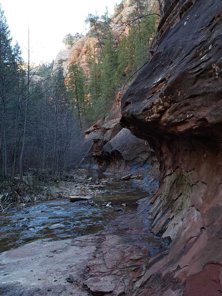
One of many curved canyon walls
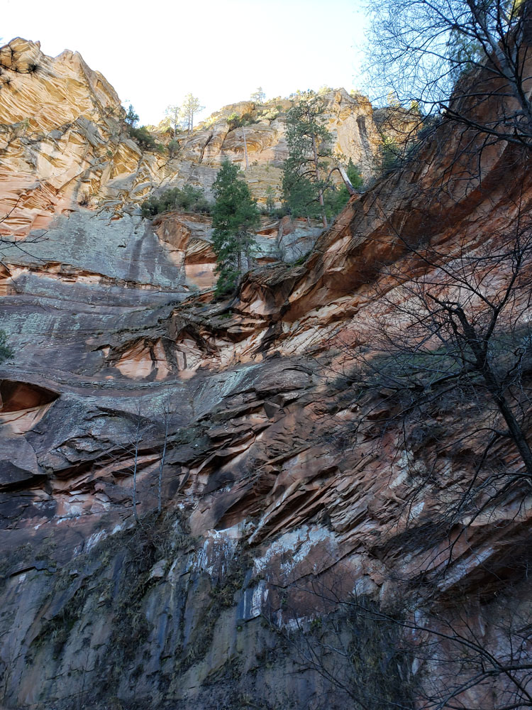
Multiple shapes carved into cliff wall
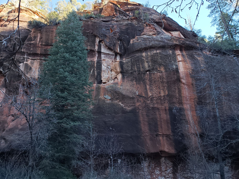
Multcolored creek wall