.jpg)
General Information
Open Every Day Except November 26, December 24 and 25, and January 20, 2021
Timed-entry pass required
Parking $15 (Free after 4:00 pm)
How to Get There
Overview
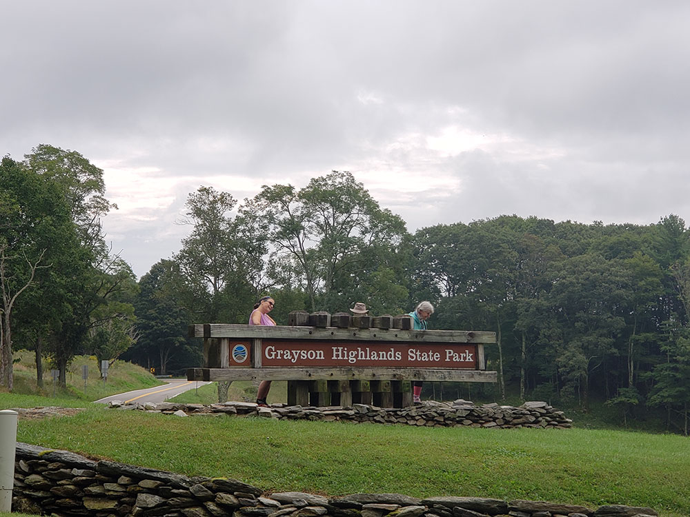
Grayson Highlands State Park is a state park located in Grayson County, Virginia. It is adjacent to the Mount Rogers National Recreation Area and lies within the Jefferson National Forest. The park was established in 1965 and contains a total of 4,502 acres (1,822 ha). The park hosts a number of outdoor activities including hiking, camping, mountainbiking, horseback riding, and backpacking. A 2.8 mile (4.5 km) portion of the Appalachian Trail runs through the park in addition to a number of other hiking and horseback riding trails.
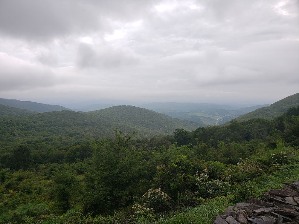
The park hosts forests like those on nearby Mount Rogers, as well as a number of mountain meadows or balds. These meadows provide excellent views of the surrounding area and present a striking change in scenery from the surrounding forests. The balds are dominated by large rocky outcroppings clear of vegetation excepting the occasional windswept tree and low grasses.
The balds are inhabited by a herd of introduced ponies allowed to run wild within the confines of the park. The ponies are very accustomed to humans and rarely halt their grazing as hikers pass close by. Many locals touch and feed the ponies, though this practice is frowned upon and against park policy. Each year, park officials round up the herd and check for health problems in addition to reducing the herd size if necessary; the excess colts are sold at auction.
- Rhododendron Trail: 1.0 mile (1.6 km)
- Cabin Creek Trail: 1.9 miles (3.1 km) loop
- Big Pinnacle Trail: 0.4 mile (0.6 km)
- Twin Pinnacles Trail: 1.6 miles (2.6 km)
- Listening Rock Trail: 2.0 mile (3.2 km) loop
- Wilson Creek Trail: 1.8 miles (2.9 km)
- Stampers Branch Trail: 2.0 miles (3.2 km)
- Rock House Ridge Trail: 1.2 miles (1.9 km) loop
- Appalachian Trail: 2.8 miles (4.5 km)
- Horse Trail (east): 1.7 miles (2.7 km)
- Horse Trail (north): 1.0 mile (1.6 km)
- Seed Orchard Road: 1.3 miles (2.1 km)
- Old Upchurch Road: 3.7 (6.0 km)
- Service Road: 0.5 mile (0.8 km)
- Appalachian Spur Trail: 0.75 mile (1.2 km)
- Wilburn Branch Trail: 0.8 mile (1.3 km)
- Horse Trail (east): 1.7 miles (2.7 km)
- Horse Trail (north): 1.0 mile (1.6 km)
- Seed Orchard Road: 1.3 miles (2.1 km)
- Old Upchurch Road: 3.7 miles (6.0 km)
This article uses material from the Wikipedia article "Grayson Highlands State Park", which is released under the Creative Commons Attribution-Share-Alike License 3.0