Highest point in South Carolina, located in the Blue Ridge Mountains, part of the Appalachian Mountains, with an observation tower
General Information
How to Get There
From Asheville (50mi) Take I-26 E and NC-280 W to Pole Miller Rd in Catheys Creek. Follow Island Ford Rd and Walnut Hollow Rd to E Fork Rd in Eastatoe. Continue onto E Fork Rd. Continue on Glady Fork Rd. Drive to F Van Clayton Memorial Hwy in Sunset
Overview
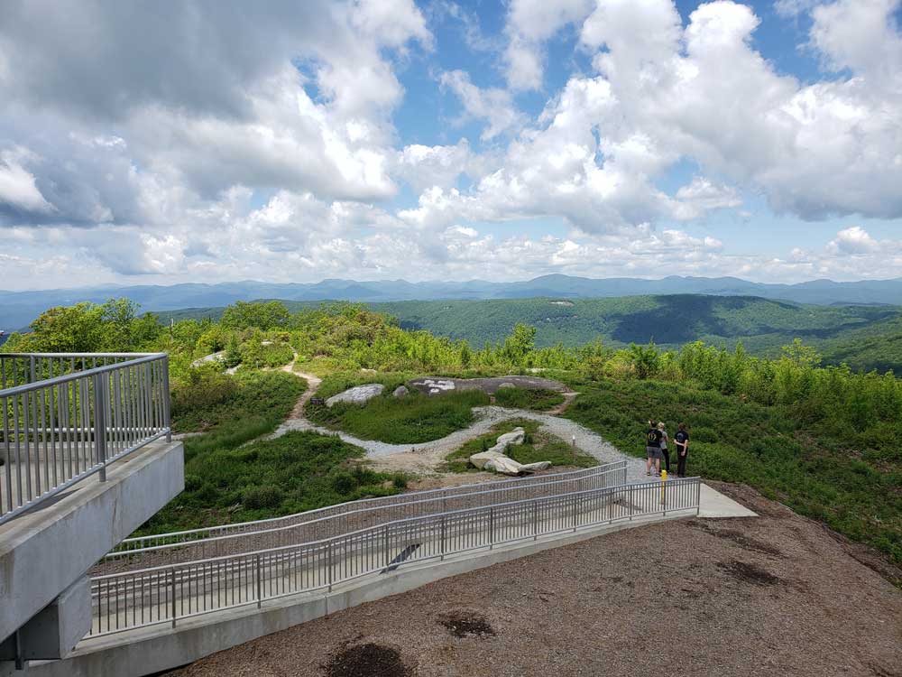
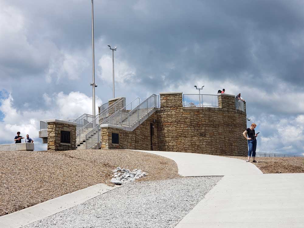
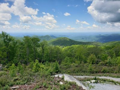
Sassafras Mountain is the highest point in South Carolina. It is in the Blue Ridge Mountains, part of the Appalachian Mountains. An observation tower opened on top of Sassafras Mountain in 2019.
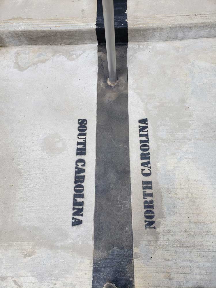
It is located along the South Carolina - North Carolina border in northern Pickens County, South Carolina nearest to the town of Rosman, North Carolina. From I-85 Exit 21 in South Carolina, one can reach Sassafras Mountain by driving north on US-178 until reaching the unincorporated community of Rocky Bottom. From there, take F. Van Clayton Highway (a local road) about 4.7 miles (7.6 km) to the parking lot at the top. From Rosman, follow US-178 south. The summit is an easy 300 foot walk from the parking lot and is, by merit of not having stairs, handicapped accessible, although the path is fairly steep.
The North Carolina side of the mountain was owned by former Congressman Charles H. Taylor. In June 2010 he sold 8,000 acres (3,200 ha) to The Conservation Fund. The Fund has donated 4.8 acres (1.9 ha), at the top of the mountain, to the South Carolina Department of Natural Resources and conveyed a remaining 6,730 acres (2,720 ha) to the North Carolina Forest Service for Headwaters State Forest.
The granite that originally formed Sassafras Mountain has metamorphosed into Henderson Gneiss, which is quartz, muscovite, and feldspar.
This article uses material from the Wikipedia article "Sassafras Mountain", which is released under the Creative Commons Attribution-Share-Alike License 3.0