.jpg)
Highest point in Georgia located in the northeastern part of the state in the Blue Ridge Mountains
General Information
How to Get There
Overview
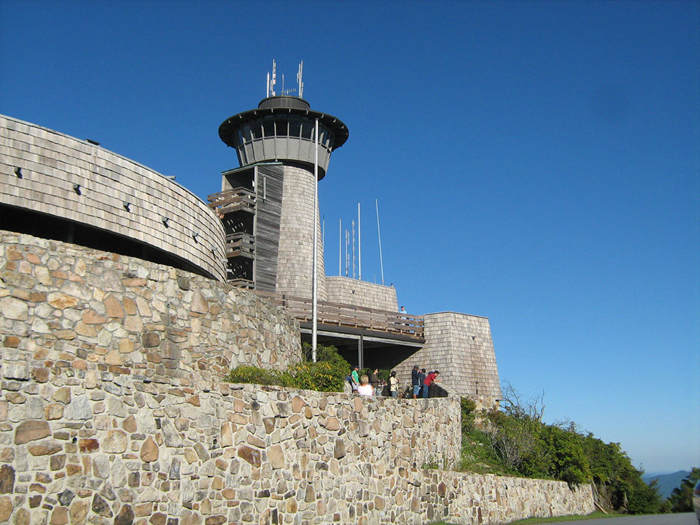
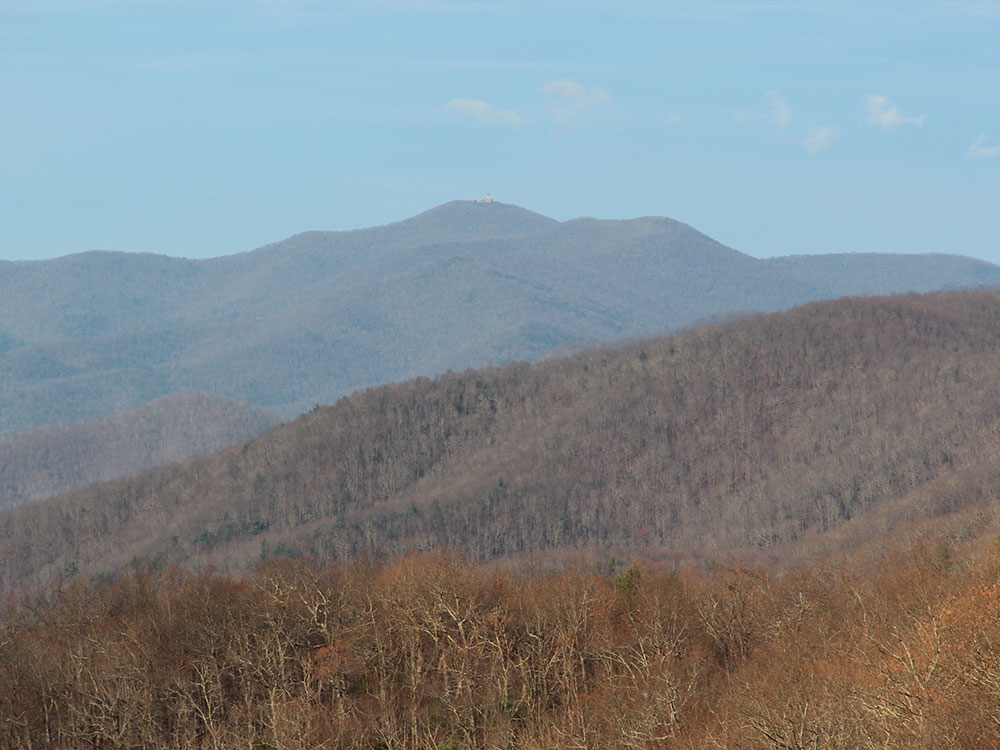
Brasstown Bald is the highest point in Georgia. It is located in the northeastern part of the state in the Blue Ridge Mountains on the border between Towns and Union counties south of the city of Hiawassee. The mountain is known to the native Cherokee people as Enotah.
The name in English is derived from a mistaken translation of the term for the nearby Cherokee village of Brasstown, located along the upper Brasstown Creek (named in English from the same error) feeding the Hiawassee River.
Brasstown Bald is partly in both Towns and Union counties, the peak being divided by the county line. The mountain is part of the Blue Ridge Mountains (part of the Appalachian Mountains), and within the borders of the Blue Ridge Ranger District of the Chattahoochee National Forest. The mountain consists mostly of soapstone and dunite.
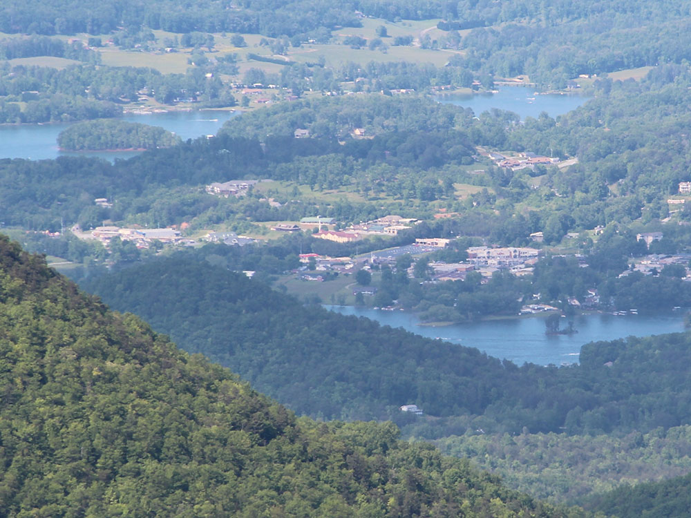
On a clear day, it is possible to see the tall buildings of Atlanta, some 85 miles away, from the summit. The U.S. Forest Service has webcams atop the observation tower, and a RAWS weather station further down the mountain. The public can drive to a parking lot 0.5 miles (0.8 km) from the top via Georgia State Route 180 Spur, then continue to the summit via a shuttle or a short hike on a paved trail.
This article uses material from the Wikipedia article "Brasstown Bald" which is released under the Creative Commons Attribution-Share-Alike License 3.0
-1000.jpg)
.jpg)
 Thomson200, CC0, via Wikimedia Commons ; Image Size Adjusted
-1000.jpg)
.jpg)
 Thomson200, CC0, via Wikimedia Commons ; Image Size Adjusted
-1000.jpg) Anthony Rizzo, CC BY-SA 4.0, via Wikimedia Commons ; Image Size Adjusted
Anthony Rizzo, CC BY-SA 4.0, via Wikimedia Commons ; Image Size Adjusted.jpg)