National Wildlife Refuge featuring hiking, auto tour, bird watching, fishing, and salt flats with gypsum concentrations high enough to grow selenite, a crystalline form of gypsum
General Information
How to Get There
Overview
The Salt Plains National Wildlife Refuge is located in Alfalfa County in northern Oklahoma, north of Jet (pop. 230), along Great Salt Plains Lake, which is formed by a dam on the Salt Fork of the Arkansas River.
The refuge was established March 26, 1930, by executive order of President Herbert Hoover, and contains 32,080 acres (130 km2) of protected land as habitat to about 312 species of birds and 30 species of mammals. It was designated a national natural landmark in June 1983.
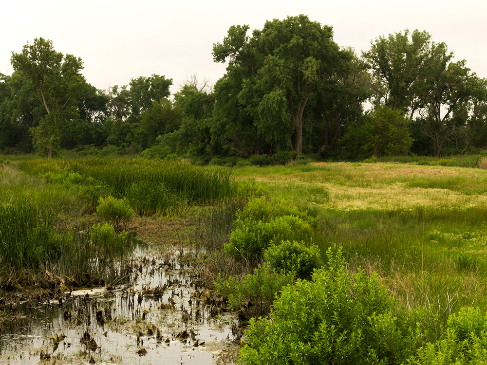
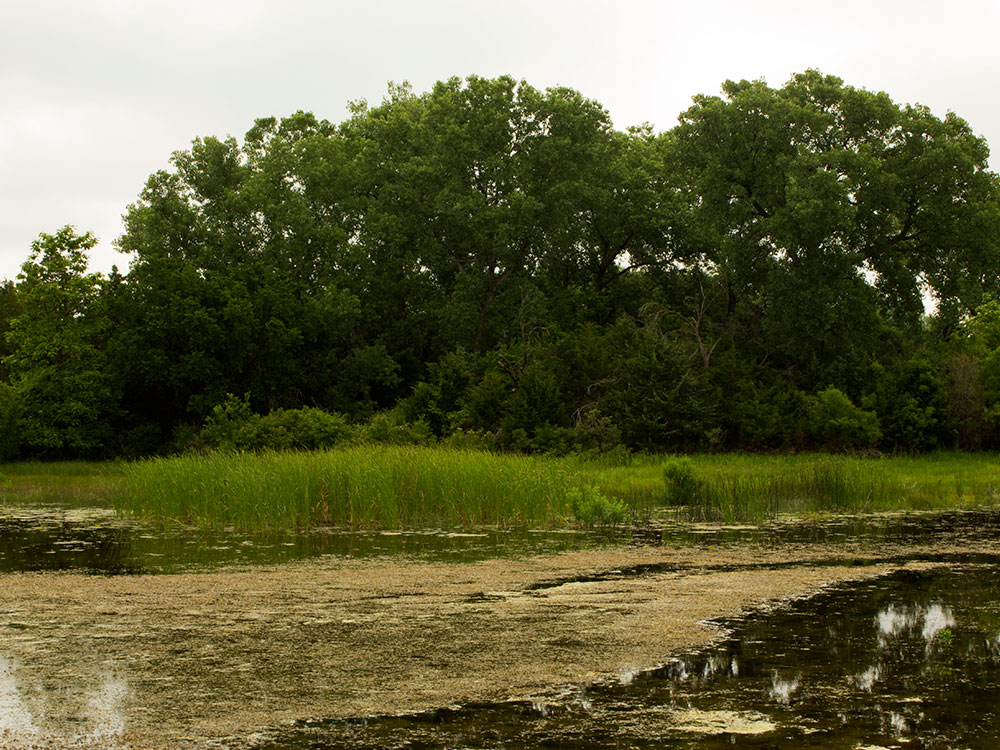
The Salt Plains were a favorite hunting ground for American Indians. Bison and other game came to the area to eat the salt and the heavily wooded and well-watered area along the Salt Fork River was like an oasis in the surrounding grassland of the Great Plains. Salt Plains refuge is divided into almost equal areas of nonvegetated salt flat, open water, and vegetated land. Marshes, woods, grasslands, and croplands dot the refuge. Management tools used to enhance the habitat for wildlife include farming, grazing, prescribed burns, construction of ponds, and wetland draining and flooding.
The refuge was created to be a resting and breeding ground for migratory waterfowl especially during fall and spring. The entire refuge is designated as critical habitat for the endangered whooping crane, which is mostly seen during fall migration. In addition, the refuge is home to endangered least terns, threatened snowy plovers, threatened bald eagles, and peregrine falcons. Large populations of American white pelicans migrate through between August and September, staying on the Great Salt Plains Reservoir. Great Salt Plains is one of the most important habitats for shorebirds in the Western Hemisphere.
The Harold F. Miller Auto Tour begins near the nature center. It is 2.5 miles (4 km) long and ends at Highway 11. The dirt road passes by ponds and fields where crops for wildlife are cultivated. White-tailed deer and other wildlife are common. A trail of 0.25 miles (400 m) leads to Casey Marsh Tower, where waterfowl are abundant and bald eagles can be seen in fall and winter.
The Sandpiper Trail begins near the nature center and refuge office and leads 0.35 miles (600 m) to the edge of the salt flats and a birding observation platform. The Eagle Roost Nature Trail is a 1.25-mile (2.0 km) loop also beginning near the nature center. The trail goes through wooded and open areas, beneath towering cottonwood trees, past marshes and ponds, and to a shore and waterfowl watching area on Sand Creek Bay.
Selenite crystals: A designated area of the 11,000 acres (45 km2) of salt flats at the refuge has gypsum concentrations high enough to grow selenite, a crystalline form of gypsum. The selenite crystals found there have an hourglass-shaped sand inclusion that is not known to occur in selenite crystals found elsewhere in the world. Digging for crystals is allowed, but only from April 1 through October 15 to protect this vital Whooping Crane habitat.
Salt Plains Lake is noted for large channel and other catfish. Other game fish include striped bass, largemouth bass, crappie, white bass, panfish, and walleye.
Great Salt Plains Lake is a reservoir located within the Salt Plains National Wildlife Refuge in Alfalfa County, Oklahoma named because of the salt flats in the area and for the Salt Fork Arkansas River, which is dammed to form the lake. It is notable for the variety of birds that are attracted to Ralstin Island (not open to the public) and also for the selenite crystals that can be collected along the shoreline.
Ralstin Island, created at the same time as the lake, is home to blue heron, great egret and ibis. The island is considered one of the most important colonial bird nesting habitats, and is the largest breeding site in the state for the white-faced ibis.
Great Salt Plains State Park is a 840-acre (3.4 km2) state park located in Alfalfa County, Oklahoma. It is located 8 miles (13 km) north of Jet, Oklahoma on SH-38 and 12 miles (19 km) east of Cherokee. Recreational opportunities at Great Salt Plains State Park include boating, camping, picnicking, swimming, hiking, and mountain biking. The Great Salt Plains Lake is located at the park and covers 9,300 acres (38 km2) with 41 miles (66 km) of shoreline and is a shallow, salty lake with fishing opportunities for catfish, saugeye, sandbass and hybrid striper. Salinity of the water in the reservoir is one-fourth that of sea water. The park has RV and tent sites, comfort stations with showers, cabins, picnic sites, group shelters, swimming beach, playgrounds, boat ramps, fishing dock and equestrian trails.
A saline aquifer still flows beneath the surface and replenishes the salt whenever the water table rises. The salt is left behind when the water evaporates.
This article uses material from the Wikipedia article "Salt Plains National Wildlife Refuge", "Great Salt Plains Lake", and "Great Salt Plains State Park", which is released under the Creative Commons Attribution-Share-Alike License 3.0