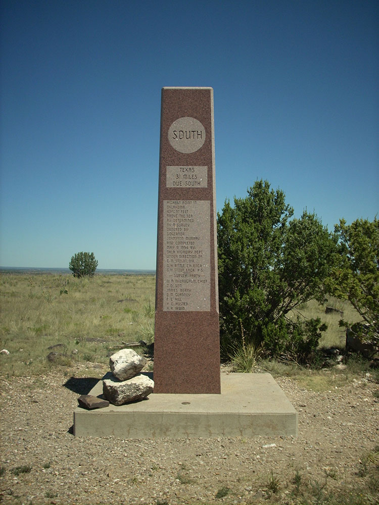
Mesa reaching 4,973 feet (1,516 m), the highest point in the state of Oklahoma
General Information
Nature Preserve: Open daily, dawn to dusk
Camping fees apply for campsites (varies by site type)
How to Get There
From Boise City, OK (22 mi): Take OK-325 west through the Oklahoma Panhandle for approximately 22 miles toward Kenton, continuing directly to Black Mesa State Park and the nature preserve entrance along the highway.
Overview
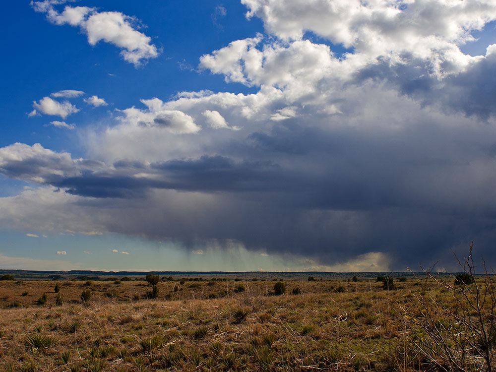
Black Mesa is a mesa in Colorado, New Mexico, and Oklahoma. It extends from Mesa de Maya, Colorado southeasterly 28 miles (45 km) along the north bank of the Cimarron River, crossing the northeast corner of New Mexico to end at the confluence of the Cimarron River and North Carrizo Creek near Kenton in the Oklahoma panhandle. Its highest elevation is 5,705 feet (1,739 m) in Colorado. The highest point of Black Mesa within New Mexico is 5,239 feet (1,597 m). In northwestern Cimarron County, Oklahoma, Black Mesa reaches 4,973 feet (1,516 m), the highest point in the state of Oklahoma. The plateau that formed at the top of the mesa has been known as a "geological wonder" of North America. There is abundant wildlife in this shortgrass prairie environment, including mountain lions, butterflies, and the Texas horned lizard.
Geography
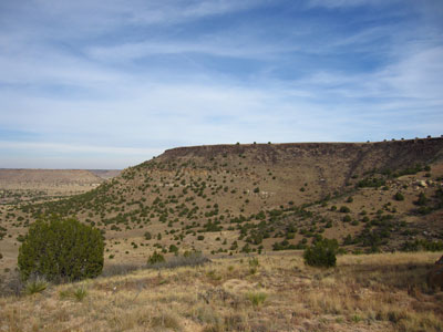
The Mesa is situated in Cimarron County in the Oklahoma Panhandle. The Black Mesa plateau is part of the Rocky Mountains and the shortgrass prairie. Some features include the Old Maid Rock, and Devil's Tombstone. The mesa's base includes a 200-foot (61 m) escarpment which is parallel with the Dry Cimarron River's north bank.
A hiking trail of 4.2 miles (6.8 km) leads from the preserve to the summit which rises about 800 feet (240 m) above the level of the surrounding plains.
The mesa's highest point within Oklahoma is marked by a granite obelisk, and a visitors' log.
The mesa lies in the protected area known as the Black Mesa Nature Preserve which was established in 1991, covering 1,600 acres (6.5 km2). The preserve protects 60% of the area of the mesa peak.
Apart from the nature reserve, there is also the Black Mesa State Park encompassing 549 acres (2.22 km2), with a 200 acres (0.81 km2) lake known as Lake Carl Etling. The park is a recreational area with many facilities for camping, hiking and many other outdoor activities. The park is about 15 miles away from the peak.
Black Mesa State Park is an Oklahoma state park in Cimarron County, near the western border of the Oklahoma panhandle and New Mexico. The park is located about 15 miles (24 km) away from its namesake, Black Mesa, the highest point in Oklahoma (4,973 feet (1,516 m) above sea level). The mesa was named for the layer of black lava rock that coats it.
The associated nature preserve is open to hiking and contains 1,600 acres (6.5 km2) and is home to 23 rare plants and 8 rare animal species.
The nearest community is Kenton, Oklahoma. The nearest town is Boise City, Oklahoma.
Lake Carl Etling, also called Carl Etling Lake, was formed in 1959 by a dam built on South Carrizo Creek and is contained within Black Mesa State Park. It has a surface area of 159 acres, a shoreline of 5 miles (8.0 km), and an average depth of 11 feet (3.4 m), with a maximum depth of 38 feet (12 m).
This article uses material from the Wikipedia article "Black Mesa (Oklahoma)", and "Black Mesa State Park", which is released under the Creative Commons Attribution-Share-Alike License 3.0