Wilderness composed of second and third growth oak-hickory forest with intermittent portions of shortleaf pine with decaying houses, farm implements and roads in countless valleys
General Information
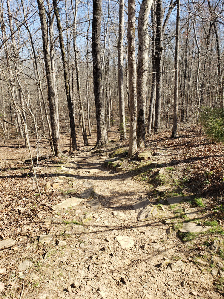
Head south on Highway 43 from Harrison and then take Highway 21 South through Boxley Valley south of Ponca. Turn right on County Road 5, Cave Mountain Road and travel approximately 6 miles to the trail head. When you arrive at the Cave Mountain Church, the trail head is .6 of a mile further. You will see a sign marker on the left of the dirt road with a big rock. Parking is on the right side or along the county dirt road.
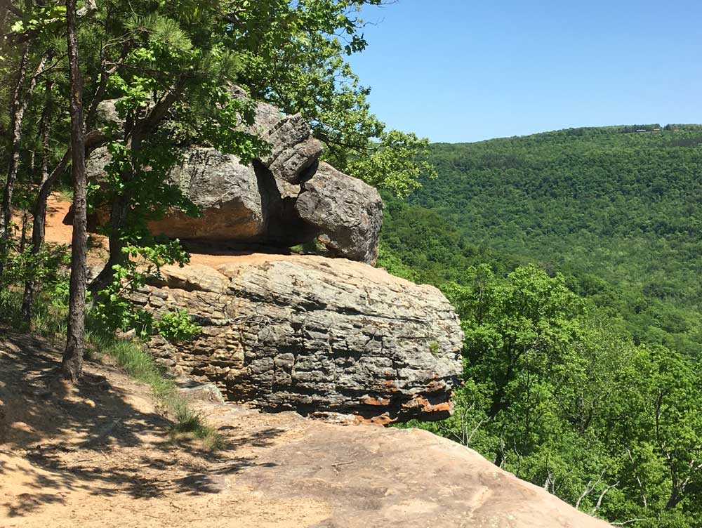
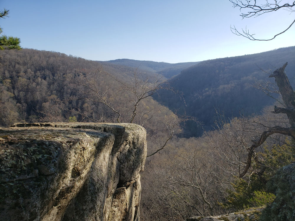
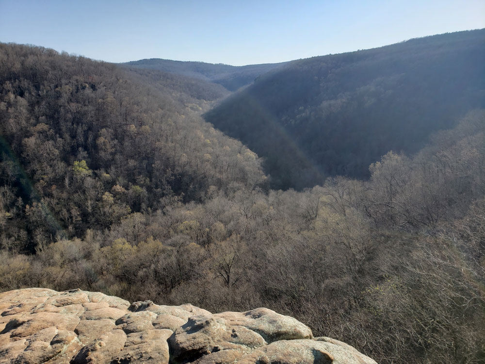
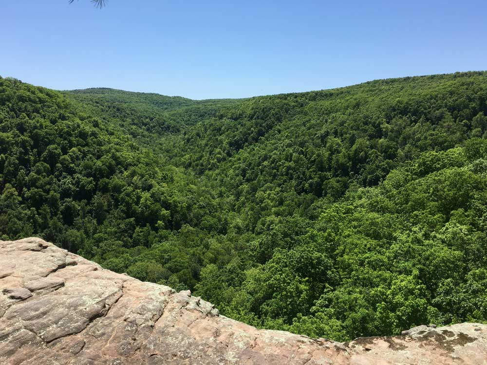
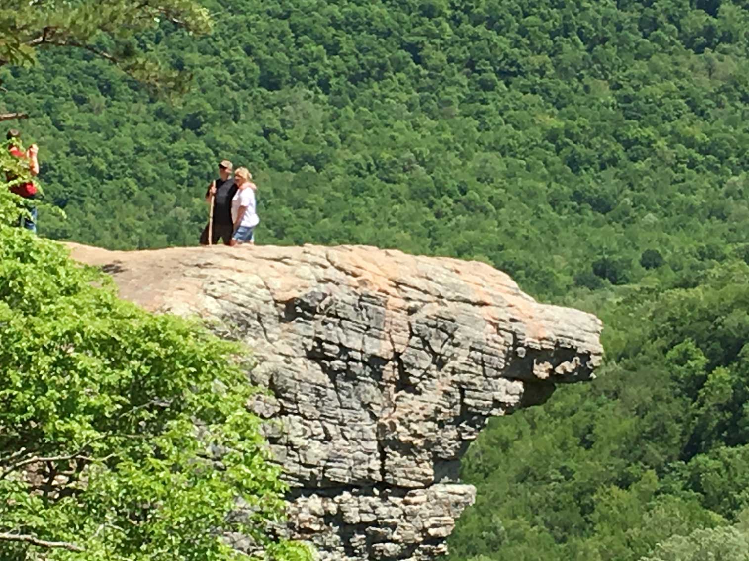
Upper Buffalo Wilderness is located in the U.S. state of Arkansas. Created by an act of Congress in 1974, the wilderness covers an area of 12,108 acres (49 km²). Contained within Ozark-St. Francis National Forest, the wilderness is managed by the U.S. Forest Service. Contained in the wilderness is Hawksbill Crag (also called Whitaker Point), a very popular hiking destination.
This infrequently visited wilderness is composed of second and third growth oak-hickory forest with intermittent portions of shortleaf pine. The headwaters of the Buffalo River are contained in the Wilderness, and the area has been uninhabited since 1948. Decaying houses, farm implements and roads can still be seen in countless valleys. There is only one official trail in the Upper Buffalo Wilderness, leading visitors to Hawksbill Crag. Black bears are known to inhabit the wilderness, along with White-tailed deer, wild turkey, skunks, opossums, minks and pheasants.
This article uses material from the Wikipedia articles "Upper Buffalo Wilderness", which are released under the Creative Commons Attribution-Share-Alike License 3.0