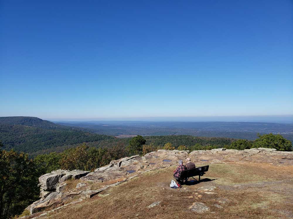
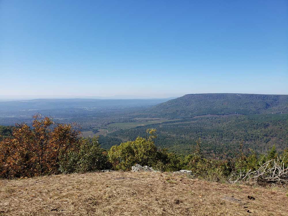
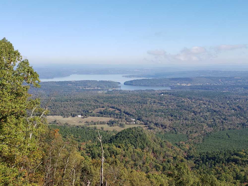
Rising 1,350 feet (410 m) above the mountain valleys of west central Arkansas, with a view of 34,000 acres (140 km2) Lake Dardanelle, the Arkansas River and the surrounding mountain ridges
General Information
Visitor Center:
Open all year
8am to 5pm daily
With the following exception:
May 25 to September 1, Friday and Saturday 8am to 7pm
From Little Rock (mi) Get on I-630 E. Follow I-40 W to AR-363 S in Pottsville. Take exit 88 from I-40 W. Take AR-247 N to State Hwy 155 in Dardanelle Township
Located near Dardanelle, Arkansas and rising 1,350 feet (410 m) above the mountain valleys of west central Arkansas, Mount Nebo has a view of 34,000 acres (140 km2) Lake Dardanelle, the Arkansas River and the surrounding mountain ridges. Atop this biblically named plateau, fringed by the Ouachita National Forest, is Mount Nebo State Park. Developed as a resort area in the late 19th century, it became a state park in 1928, its early development spearheaded by the Civilian Conservation Corps. Park activities include hiking, camping, and other outdoor pursuits.
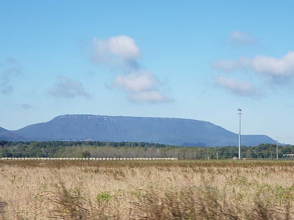
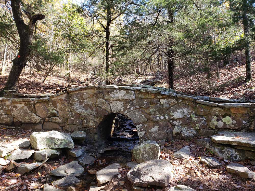
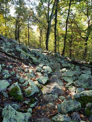
Mount Nebo is a flat-topped mountain about 5 miles (8.0 km) west of the city of Dardanelle, from which it is accessed by Arkansas Highway 155. The mountaintop is roughly in the shape of an apostrophe or teardrop, with a point at its northwesterly tip, and a wide south-facing base, from which curving sides trend north to northwest. A few hundred feet below the summit is a "bench", or slightly wider terrace, from which the shoulders of the mount slope steeply down to the valley floor. The bench is impervious to water so rainwater percolating down through the soil builds up in the underlying pockets and results in the numerous springs found on the Bench Trail.
Early settlers on the mountain built log structures on the bench, near where springs were located. The bench proved to be wide enough for a road and building sites. Most or all of the original 12 log cabins, including the first built by Colonel Sam Dickins of Virginia, burned or deteriorated during the Civil War.
The mountain was named Nebo by Mrs. Louis White after the Civil War in the late 1860s. She named it after the mountain mentioned in the bible from which Moses had a view of the Promised Land. The Whites and other Dardanelle families lived on the mountain during the summer months. The White home stood on the bench by Nebo Springs until 1934.
Civilian Conservation Corps development
When the Civilian Conservation Corps was established in 1933, the state designated Mount Nebo State Park as one of the areas its local crews should work on. Over a two-year period, CCC crew 1780 developed significant portions of park infrastructure, including the construction of roads, bridges, cabins, hiking trails, and pavilions. The main pavilion, built by the CCC around 1935, was listed on the National Register of Historic Places in 1992. Ten of the surviving CCC-built cabins were also listed on the National Register in 2016, six individually and four as a group.
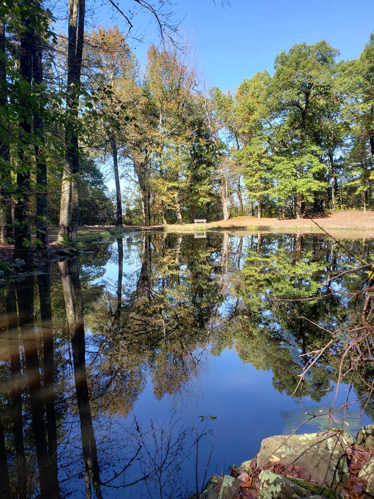
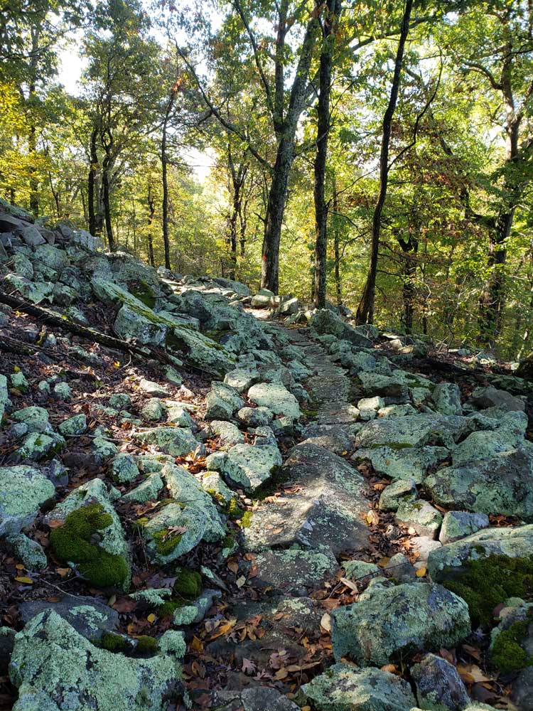
The park facilities include 15 cabins available for rent, 25 camping sites, picnic areas, a swimming pool, 25 miles (40 km) of hiking and mountain biking trails, and other outdoor recreational facilities for use by the public.
This article uses material from the Wikipedia article "Mount Nebo (Arkansas)", which is released under the Creative Commons Attribution-Share-Alike License 3.0
Featured Trails
Summit Park Trail
1.6 miles loop, 337 feet