Mountain range of the Rocky Mountains and the vast wilderness areas in western Wyoming is a popular recreation destination attracting hikers, climbers and skiers
General Information
Accepts America The Beautiful Pass
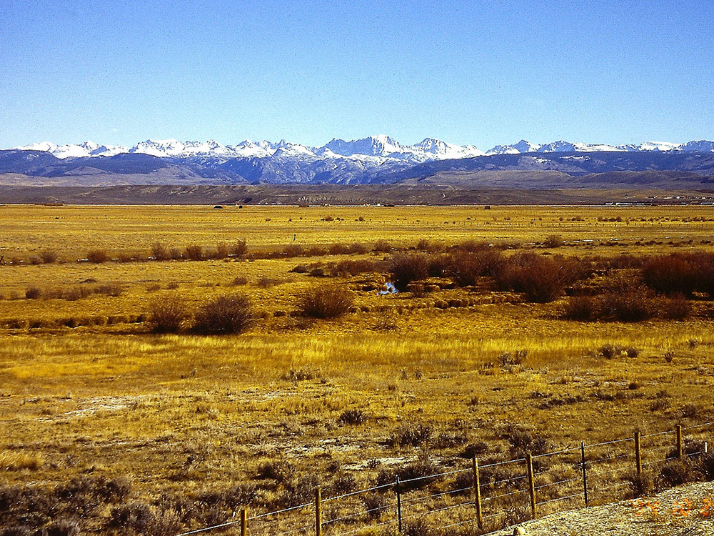
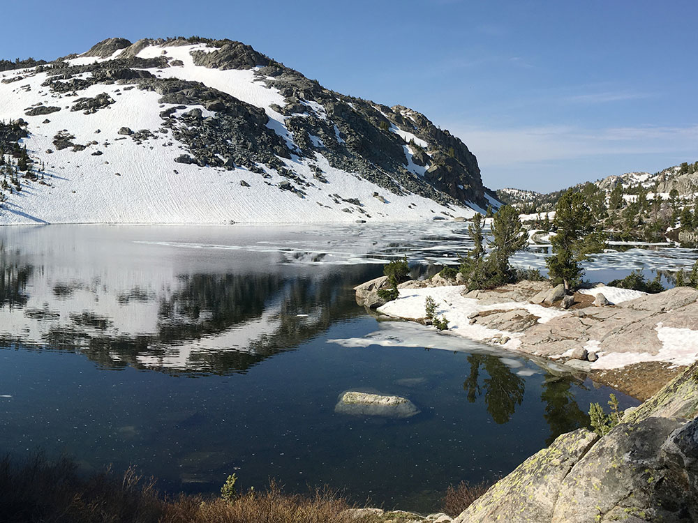
The Wind River Range is a mountain range of the Rocky Mountains in western Wyoming. The range runs roughly NW-SE for approximately 100 mi (160 km). The Continental Divide follows the crest of the range and includes Gannett Peak, which at 13,802 ft (4,207 m), is the highest peak in Wyoming; and also Fremont Peak at 13,750 ft (4,191 m), the third highest peak in Wyoming. There are more than 40 other named peaks in excess of 12,999 ft (3,962 m). With the exception of the Grand Teton in the Teton Range, the next 19 highest peaks in Wyoming after Gannett are also in the Winds.
Two large national forests including three wilderness areas encompass most of the mountain range. Shoshone National Forest is on the eastern side of the continental divide while Bridger-Teton National Forest is on the west. Both national forests and the entire mountain range are an integral part of the Greater Yellowstone Ecosystem. Portions of the east side of the range are inside the Wind River Indian Reservation.
.jpg)
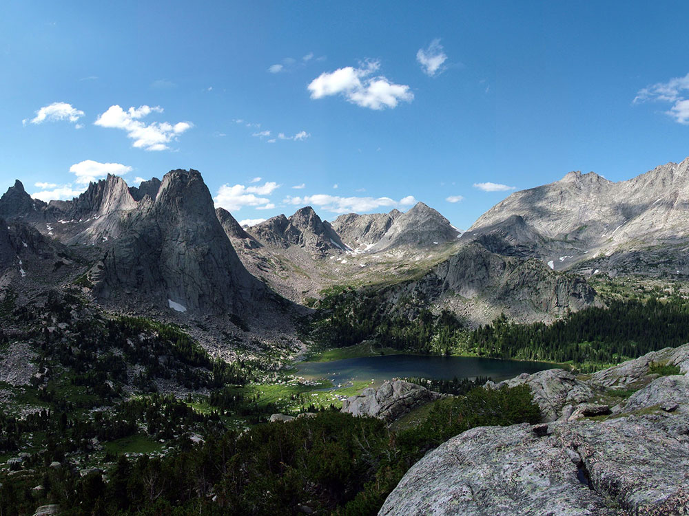
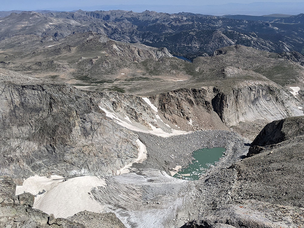
The Winds are composed primarily of a granitic batholith which is granite rock formed deep under the surface of the Earth, over one billion years ago. Over hundreds of millions of years, rocks that were once covering this batholith eroded away. As the land continued to rise during the Laramide orogeny, further erosion occurred until all that remained were the granitic rocks. The ice ages beginning 500,000 years ago began carving the rocks into their present shapes. Within the Winds, numerous lakes were formed by the glaciers and numerous cirques, or circular valleys, were carved out of the rocks, the most well known being the Cirque of the Towers, in the southern section of the range. Several of these are the largest glaciers in the U.S. Rocky Mountains. Gannett Glacier which flows down the north slope of Gannett Peak, is the largest single glacier in the Rocky Mountains of the U.S., and is located in the Fitzpatrick Wilderness in Shoshone National Forest.
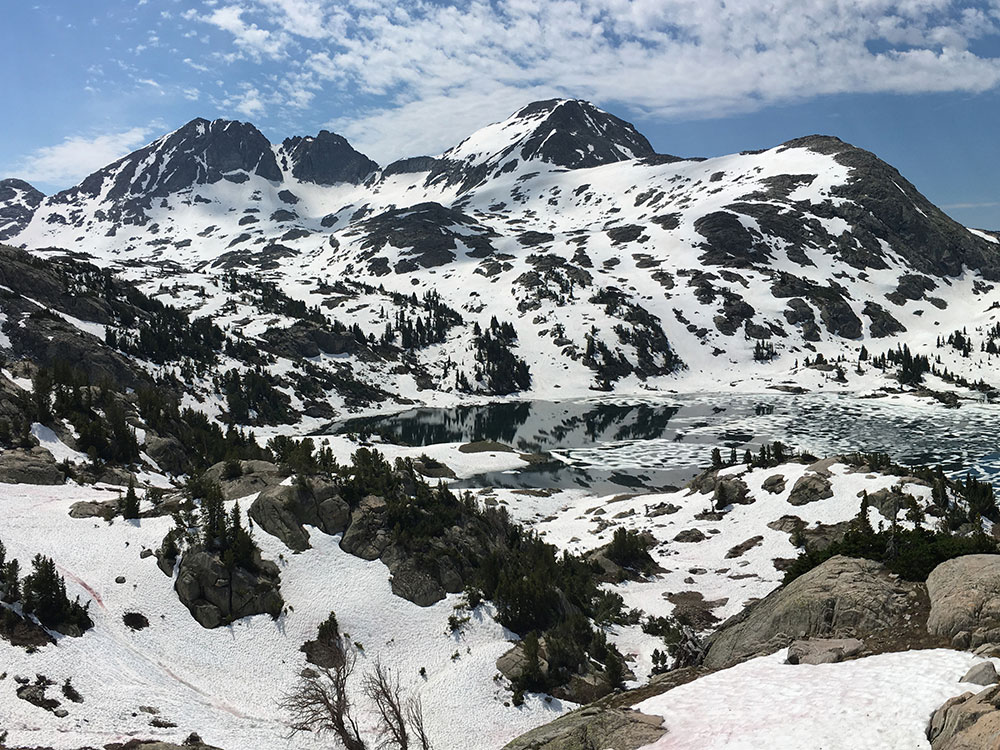
The Winds are a popular recreation destination and the vast wilderness areas attract hikers, climbers and skiers. The Winds have many back country areas that see heavy use despite the relative remoteness of many of the trail-heads and the long approaches from those trail-heads to reach routes. Two of the more popular backpacking destinations are the Titcomb Basin (commonly accessed via the Elkhart Park Trailhead) and the Cirque of the Towers (commonly accessed via the Big Sandy Trailhead). The exposed granite in the higher elevations of the range is particularly attractive to climbers.
The Wind River Range has a number of trailheads for backpackers to explore, including:
- Big Sandy (elevation 9,080 ft or 2,770 m)
- Boulder Lake (elevation 7,780 ft or 2,370 m)
- Burnt Lake (elevation 8,000 ft or 2,400 m)
- Elkhart Park (elevation 9,280 ft or 2,830 m)
- Green River Lake (elevation 8,040 ft or 2,450 m)
- Half Moon Lake (elevation 7,600 ft or 2,300 m)
- Meadow Lake (elevation 8,040 ft or 2,450 m)
- New Fork (elevation 7,890 ft or 2,400 m)
- Scab Creek (elevation 7,870 ft or 2,400 m)
- Spring Creek Park (elevation 8,480 ft or 2,580 m)
This article uses material from the Wikipedia article "Wind River Range", which is released under the Creative Commons Attribution-Share-Alike License 3.0