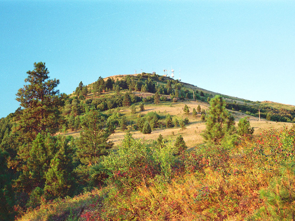
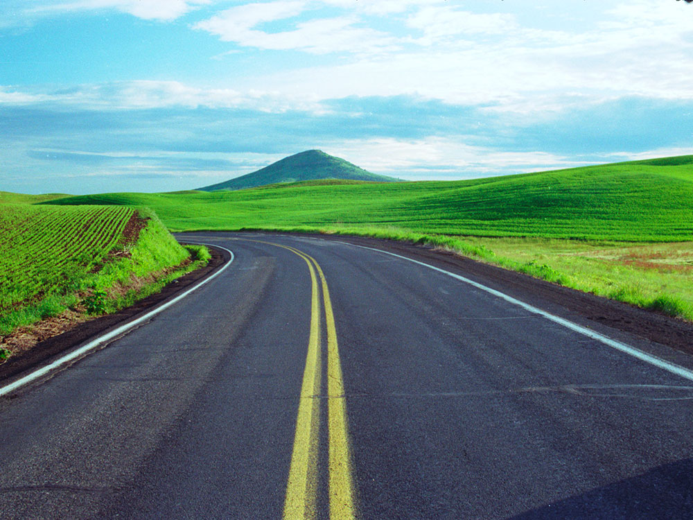
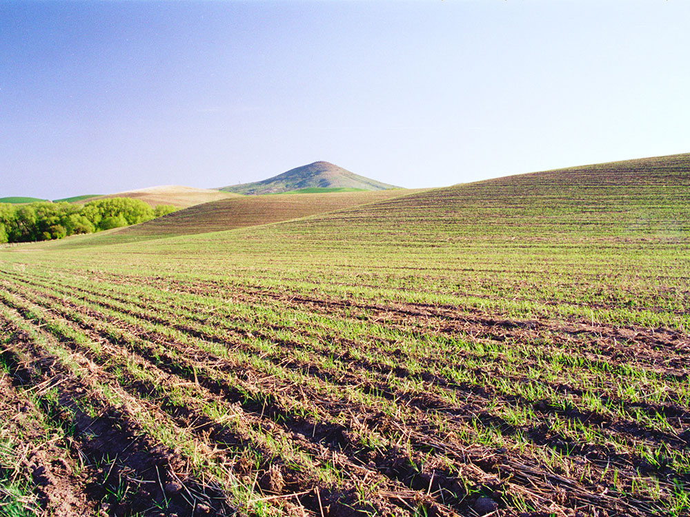
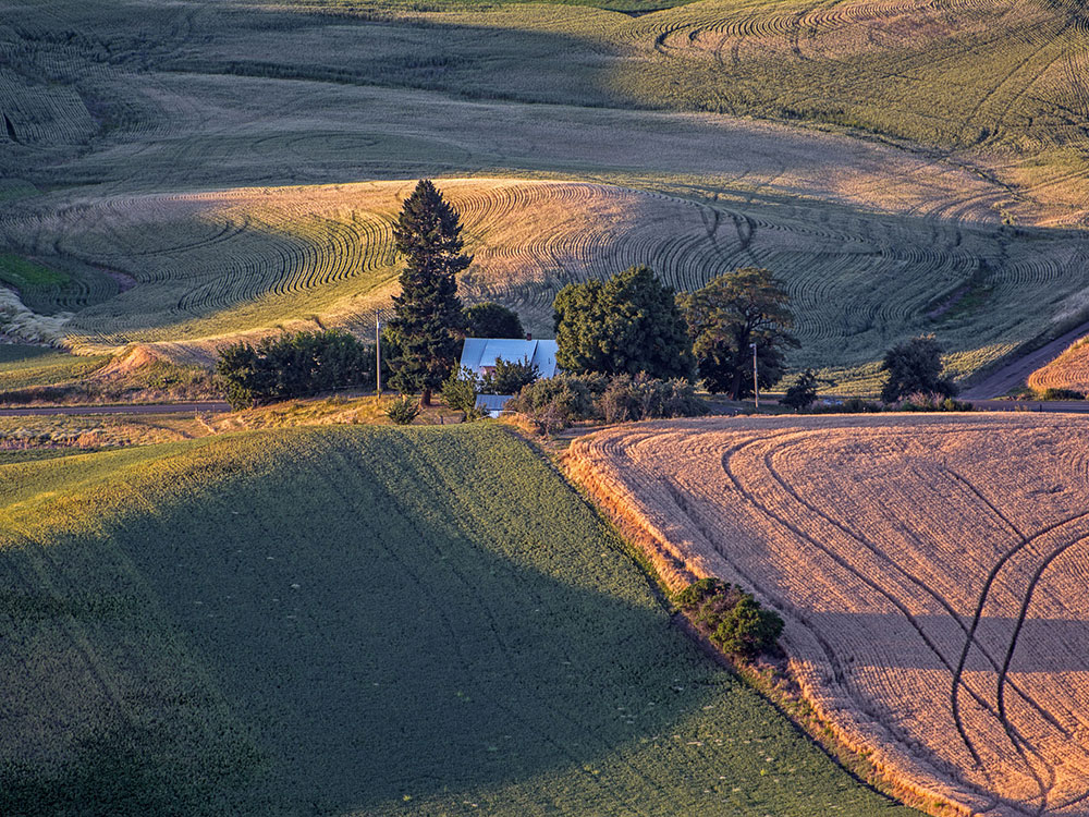
3,612-foot (1,101 m) butte jutting out of the silty loess of the Palouse hills in Washington preserved as Steptoe Butte State Park
General Information
How to Get There
Overview
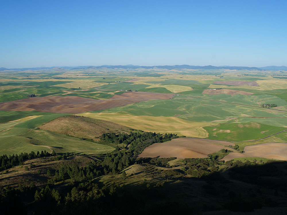
Steptoe Butte State Park is a 150-acre park on a 3,612-foot quartzite butte that rises above the Palouse hills, with views over the wheat fields. A narrow paved road winds up to a summit parking area, and the park is a National Natural Landmark. It is especially popular in late spring and at sunrise, and is used for paragliding and hang gliding.
Activities and amenities
A narrow paved road winds around the butte, leading to a parking area at the summit. The park offers picnicking facilities and an interpretive wayside exhibit. Popular activities include sight-seeing, paragliding, hang gliding, kite and model airplane flying, and photography.
Things to Do
Experience One of the Most Spectacular Views in the Palouse
Steptoe Butte State Park Heritage Site is one of Washington's most iconic scenic destinations. Rising more than 3,600 feet above sea level, the butte offers panoramic views of the rolling hills, farmland, and colorful landscapes that make the Palouse region famous among photographers and travelers.
Drive to the Summit Overlook
A paved road winds to the top of Steptoe Butte, allowing visitors to reach the summit by vehicle. Several viewing areas provide breathtaking 360-degree vistas of the surrounding countryside, making it one of the best viewpoints in eastern Washington.
Learn About the Region's Geology and History
Interpretive displays explain the geological origins of the Palouse Hills and the unique loess soils that support the area's agricultural industry. Visitors can also learn about the region's Native American heritage and farming history.
Explore Nearby Palouse Attractions
Steptoe Butte serves as an excellent starting point for exploring nearby destinations such as Palouse Falls State Park, Kamiak Butte County Park, the towns of Colfax and Palouse, and the scenic backroads that wind through the Palouse countryside.
Top Trails
Steptoe Butte Summit Trail
Length: Approximately 1 mile round trip
Elevation Gain: Approximately 150 feet
Difficulty: Easy
Short walking paths around the summit allow visitors to enjoy panoramic viewpoints in every direction. Several overlooks provide excellent opportunities for photography and sightseeing.
Steptoe Butte Interpretive Trail
Length: Approximately 0.5 miles round trip
Elevation Gain: Minimal
Difficulty: Easy
This short interpretive route introduces visitors to the area's geology, native vegetation, agricultural significance, and the formation of the surrounding Palouse Hills.
Lower Hillside Nature Walk
Length: Approximately 1 to 2 miles round trip
Elevation Gain: Moderate
Difficulty: Easy to Moderate
Visitors can explore the lower slopes of the butte while enjoying wildflowers, native grasses, birdwatching opportunities, and sweeping views of the surrounding farmland.
Nearby Kamiak Butte Trail System
Length: Various routes from 1 to 5 miles
Elevation Gain: Moderate
Difficulty: Easy to Moderate
Located nearby, Kamiak Butte County Park offers additional hiking opportunities through native forests and provides complementary views of the Palouse region from a different perspective.
Geology
The rock that forms the butte is over 400 million years old, in contrast with the 15-7 million year old Columbia River Basalts that underlie the rest of the Palouse. Steptoe Butte has become an archetype, as isolated protrusions of bedrock, such as summits of hills or mountains, in lava flows have come to be called "steptoes".
History
The butte was named after Colonel Edward Steptoe. A hotel built by James S. "Cashup" Davis stood atop the butte from 1888 to 1908, burning down several years after it closed. In 1946, Virgil McCroskey donated 120 acres (49 ha) of land to form the park, which was later increased to over 150 acres (61 ha). The east,south and west portions of the butte were purchased in 2016 by two couples Kent and Elaine Bassett, and Ray and Joan Folwell. The owners planned to protect their 437 acres (177 ha) of land from development, eventually donating it to the state. This plan came to fruition when they sold the land to the Washington State Department of Natural Resources in December 2021.
This article uses material from the Wikipedia article and official pages for parks.wa.gov, visitpalouse.com, whitmancounty.org, Steptoe Butte, released under the Creative Commons Attribution-Share-Alike License 3.0.