River in Washington about 78 miles (126 km) long that flows west through the northwest part of the Olympic Peninsula, from the Olympic Mountains of Olympic National Park and Olympic National Forest, then through the broad Sol Duc Valley
General Information
Valid for seven consecutive days. Applies to private, non-commercial vehicles (15 passenger capacity or less). The pass covers all vehicle occupants.
Motorcycle: $25.00
Per Person and Bicyclists - $15.00
Valid for seven consecutive days. This fee admits one person without a vehicle, including hikers, bicyclists, and pedestrians. Individuals fifteen years or younger are admitted free of charge.
Accepts America The Beautiful Pass.
How to Get There
Head northwest on E Front St toward N Laurel St. Continue onto Marine Dr. Slight right to stay on Marine Dr. Turn left onto WA-117 S/S Tumwater Truck Rte. Slight right onto US-101 W. Turn left onto Sol Duc-Hot Springs Rd. Continue onto Sol Duc Rd.
Overview
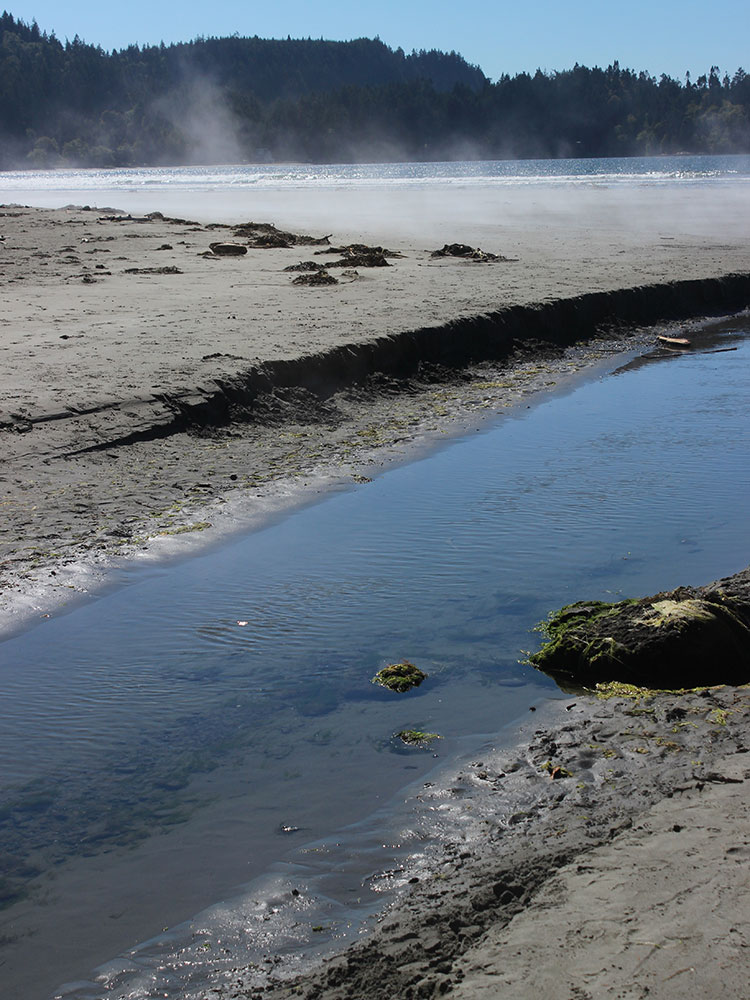
The Sol Duc River is a river in Washington. About 78 miles (126 km) long, it flows west through the northwest part of the Olympic Peninsula, from the Olympic Mountains of Olympic National Park and Olympic National Forest, then through the broad Sol Duc Valley. Near the Pacific Ocean the Sol Duc River joins the Bogachiel River, forming the Quillayute River, which flows about 4 miles (6.4 km) to the Pacific Ocean at La Push. Although the Quillayute River is short, its large tributary rivers—the Sol Duc, Bogachiel, Calawah, and Dickey Rivers—drain the largest watershed of the northern Olympic Peninsula, 629 square miles (1,630 km2). The Sol Duc's watershed is the largest of the Quillayute's tributaries, at 219 square miles (570 km2).
U.S. Route 101 follows the Sol Duc River for many miles through Olympic National Forest and the Sol Duc Valley to the vicinity of Forks. The city of Forks is so named due to the close convergence of the Sol Duc, Bogachiel, and Calawah Rivers.
Name
There are two common spellings of the river's name, Sol Duc and Soleduck. Before 1992 the accepted spelling was "Soleduck". In 1992 the spelling was officially changed to "Sol Duc" by the State of Washington Board on Geographic Names. The name comes from its Quileute name meaning "sparkling waters".
Places to Stay:
The concession-operated Sol Duc Hot Springs Resort includes the Sol Duc campground with 82 sites in old-growth forest, right along the river.The resort also provides lodging and an RV campground. The Resort is generally open late March through the last weekend in October. Lodging is also available in nearby Port Angeles or Forks.
Recreation
From the parking lot, the walk through old-growth forest to the Sol Duc Falls overlook is just a mile. Lover's Lane (6 mile loop) and the climb to Mink Lake (5.2 miles roundtrip) can also be done in just a few hours. The Sol Duc Valley has a number of longer hiking trails which explore both the valleys and the mountains. The High Divide Loop that passes through Seven Lakes Basin is a popular 2-3 day hike. The views of Mount Olympus are astounding on a clear day.
The Sol Duc Hot Springs Resort has a variety of activities, including mineral pool bathing, massage, and dining. The Salmon Cascades overlook is another popular destination during late October/early November. About 5 miles down the Sol Duc Road, visitors come to watch the determined coho salmon leap over the falls on their way to spawn upstream in the Sol Duc River.
This article uses material from the Wikipedia article "Sol Duc River", which is released under the Creative Commons Attribution-Share-Alike License 3.0
This article uses material from nps.gov "Olympic National Park"
Featured Trails

Sol Duc Falls Trail
2.1 miles round-trip, 255 feet elevation
Trail leading through three-quarters of a mile of dense forest to Sol Duc Falls.
