Trail follows the Hoh River east into the heart of the park and reaches Glacier Meadows near Mount Olympus's Blue Glacier
General Information
Valid for seven consecutive days. Applies to private, non-commercial vehicles (15 passenger capacity or less). The pass covers all vehicle occupants.
Motorcycle: $25.00
Per Person and Bicyclists - $15.00
Valid for seven consecutive days. This fee admits one person without a vehicle, including hikers, bicyclists, and pedestrians. Individuals fifteen years or younger are admitted free of charge.
How to Get There
Overview
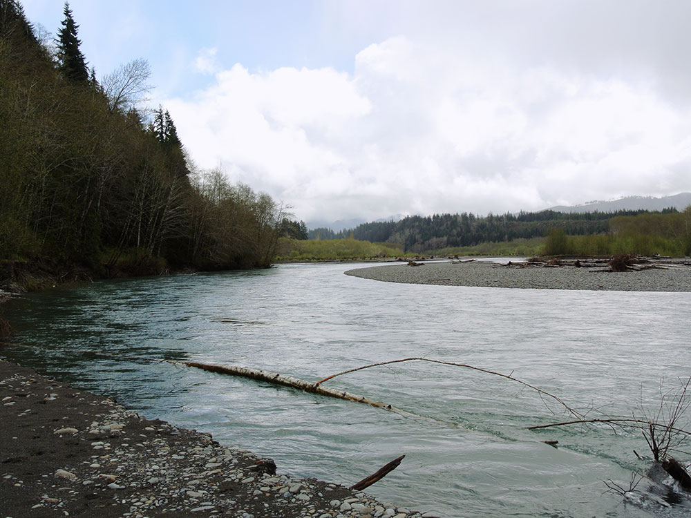
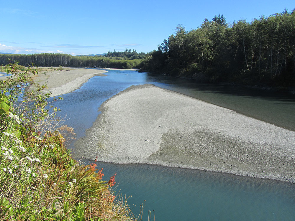
The Hoh River Trail, managed by the National Park Service, begins at the national park's Hoh Rain Forest Visitor Center at the end of the Upper Hoh Road. The trail follows the Hoh River east into the heart of the park. After 17.5 mi (28.2 km) it reaches Glacier Meadows near Mount Olympus's Blue Glacier. The Hoh River Trail begins at an altitude of about 600 ft (180 m) and the trail is mostly flat for about 13 mi (21 km), after which it ascends steeply to Glacier Meadows, altitude 4,300 ft (1,300 m). The trail passes through the Hoh Rain Forest, a temperate rain forest, and, closer to Mount Olympus, montane forests and subalpine meadows. There are a number of backcountry campsites along the trail. Mountaineers wishing to climb Mount Olympus typically use the Hoh River Trail to reach the mountain. The climb requires experience with glacier travel and crevasse rescue skills.
The Hoh Lake Trail branches off from the Hoh River Trail near the Olympus Ranger Station and ascends to Hoh Lake and Bogachiel Peak, then across High Divide into the Sol Duc River valley.
This article uses material from the Wikipedia article "Hoh Rainforest", which is released under the Creative Commons Attribution-Share-Alike License 3.0
-750.jpg) Olympic National Park, Public domain, via Wikimedia Commons; Image Size Adjusted
Olympic National Park, Public domain, via Wikimedia Commons; Image Size Adjusted
.jpg)